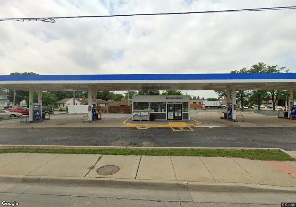
1602 S River Rd Des Plaines, IL 60018
Studio
--
Bath
--
Sq Ft
6,316
Sq Ft Lot
About This Home
This home is located at 1602 S River Rd, Des Plaines, IL 60018. 1602 S River Rd is a home located in Cook County with nearby schools including South Elementary School, Algonquin Middle School, and Maine West High School.
Ownership History
Date
Name
Owned For
Owner Type
Purchase Details
Closed on
Jan 31, 2013
Sold by
Harlem & Foster Mobil Inc
Bought by
Hari Llc
Home Financials for this Owner
Home Financials are based on the most recent Mortgage that was taken out on this home.
Original Mortgage
$526,000
Outstanding Balance
$362,269
Interest Rate
3.32%
Mortgage Type
Commercial
Purchase Details
Closed on
Jul 19, 2012
Sold by
Buchanan Energy N Llc
Bought by
Harlem & Foster Mobil Inc
Purchase Details
Closed on
Dec 9, 2010
Sold by
Exxonmobil Oil Corporation
Bought by
Buchanan Energy N Llc
Home Financials for this Owner
Home Financials are based on the most recent Mortgage that was taken out on this home.
Original Mortgage
$31,348,684
Interest Rate
4.16%
Mortgage Type
Commercial
Create a Home Valuation Report for This Property
The Home Valuation Report is an in-depth analysis detailing your home's value as well as a comparison with similar homes in the area
Home Values in the Area
Average Home Value in this Area
Purchase History
| Date | Buyer | Sale Price | Title Company |
|---|---|---|---|
| Hari Llc | $1,000,000 | None Available | |
| Harlem & Foster Mobil Inc | $646,000 | Stewart Title Guaranty Co | |
| Buchanan Energy N Llc | $161,500 | Stewart Title Guaranty Co |
Source: Public Records
Mortgage History
| Date | Status | Borrower | Loan Amount |
|---|---|---|---|
| Open | Hari Llc | $526,000 | |
| Previous Owner | Buchanan Energy N Llc | $31,348,684 |
Source: Public Records
Tax History
| Year | Tax Paid | Tax Assessment Tax Assessment Total Assessment is a certain percentage of the fair market value that is determined by local assessors to be the total taxable value of land and additions on the property. | Land | Improvement |
|---|---|---|---|---|
| 2025 | $19,004 | $99,650 | $40,821 | $58,829 |
| 2024 | $19,004 | $72,081 | $25,400 | $46,681 |
| 2023 | $18,547 | $72,081 | $25,400 | $46,681 |
| 2022 | $18,547 | $72,081 | $25,400 | $46,681 |
| 2021 | $19,961 | $64,938 | $25,399 | $39,539 |
| 2020 | $19,624 | $64,938 | $25,399 | $39,539 |
| 2019 | $17,476 | $64,938 | $25,399 | $39,539 |
| 2018 | $13,618 | $45,535 | $16,328 | $29,207 |
| 2017 | $13,377 | $45,535 | $16,328 | $29,207 |
| 2016 | $12,653 | $45,535 | $16,328 | $29,207 |
| 2015 | $12,456 | $41,202 | $14,060 | $27,142 |
| 2014 | $11,715 | $39,586 | $12,245 | $27,341 |
| 2013 | $11,423 | $39,586 | $12,245 | $27,341 |
Source: Public Records
Map
Nearby Homes
- 1640 S River Rd
- 1990 Berry Ln
- 1700 E Forest Ave
- 1721 Prospect Ave
- 1645 Illinois St
- 1689 S Elm St
- 1696 S Elm St
- 1509 Center St
- 1445 Everett Ave
- 1922 Fargo Ave
- 1630 Henry Ave
- 700 Florence Dr
- 1638 Oakwood Ave
- 1649 Ashland Ave Unit 501
- 1524 Oakwood Ave
- 1370 Fargo Ave Unit E
- 1080 Bogart St
- 38 E Touhy Ave
- 1600 E Thacker St Unit 513
- 1380 Oakwood Ave Unit 306
- 1881 E Oakton St
- 1890 Bennett Place
- 1890 Bennett Place
- 1890 Bennett Place
- 1876 Bennett Place
- 1605 S River Rd Unit B
- 1868 Bennett Place
- 1868 Bennett Place
- 1855 E Oakton St
- 1860 Bennett Place
- 1860 Bennett Place
- 1635 Locust St
- 1925 E Oakton St Unit 3G
- 1925 E Oakton St Unit 3A
- 1925 E Oakton St Unit 3H
- 1925 E Oakton St Unit 2E
- 1925 E Oakton St Unit 1A
- 1925 E Oakton St Unit 2H
- 1925 E Oakton St Unit 1F
Your Personal Tour Guide
Ask me questions while you tour the home.