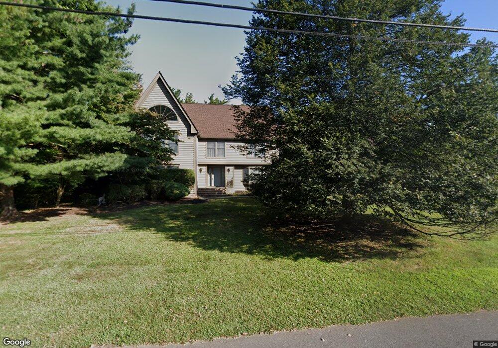
1602 Stony Point Rd Manasquan, NJ 08736
Estimated Value: $1,428,000 - $1,777,000
4
Beds
3
Baths
5,078
Sq Ft
$325/Sq Ft
Est. Value
About This Home
This home is located at 1602 Stony Point Rd, Manasquan, NJ 08736 and is currently estimated at $1,649,769, approximately $324 per square foot. 1602 Stony Point Rd is a home located in Monmouth County with nearby schools including Wall High School, St Dominic School, and The Brookside School.
Ownership History
Date
Name
Owned For
Owner Type
Purchase Details
Closed on
May 21, 1999
Sold by
Hyde Richard
Bought by
Winkler Jeffrey and Stein Laura
Current Estimated Value
Home Financials for this Owner
Home Financials are based on the most recent Mortgage that was taken out on this home.
Original Mortgage
$404,400
Outstanding Balance
$104,922
Interest Rate
7.09%
Estimated Equity
$1,544,847
Create a Home Valuation Report for This Property
The Home Valuation Report is an in-depth analysis detailing your home's value as well as a comparison with similar homes in the area
Home Values in the Area
Average Home Value in this Area
Purchase History
| Date | Buyer | Sale Price | Title Company |
|---|---|---|---|
| Winkler Jeffrey | $539,250 | -- |
Source: Public Records
Mortgage History
| Date | Status | Borrower | Loan Amount |
|---|---|---|---|
| Open | Winkler Jeffrey | $404,400 |
Source: Public Records
Tax History Compared to Growth
Tax History
| Year | Tax Paid | Tax Assessment Tax Assessment Total Assessment is a certain percentage of the fair market value that is determined by local assessors to be the total taxable value of land and additions on the property. | Land | Improvement |
|---|---|---|---|---|
| 2025 | $18,617 | $882,300 | $295,300 | $587,000 |
| 2024 | $18,061 | $882,300 | $295,300 | $587,000 |
| 2023 | $18,061 | $882,300 | $295,300 | $587,000 |
| 2022 | $17,620 | $882,300 | $295,300 | $587,000 |
| 2021 | $17,620 | $882,300 | $295,300 | $587,000 |
| 2020 | $17,408 | $882,300 | $295,300 | $587,000 |
| 2019 | $17,196 | $882,300 | $295,300 | $587,000 |
| 2018 | $17,046 | $882,300 | $295,300 | $587,000 |
| 2017 | $16,711 | $882,300 | $295,300 | $587,000 |
| 2016 | $16,358 | $882,300 | $295,300 | $587,000 |
| 2015 | $16,877 | $572,100 | $163,300 | $408,800 |
| 2014 | $16,341 | $566,600 | $204,800 | $361,800 |
Source: Public Records
Map
Nearby Homes
- 2639 River Rd
- 2567 River Rd
- 1582 Horseshoe Dr
- 1545 Harbor Rd
- 2547 River Rd
- 2575 Morningstar Rd
- 2619 Lantern Light Way
- 127 Riviera Dr
- 647 Valley Rd
- 651 Oceanview Rd
- 1008 Sunset Dr
- 2528 River Rd
- 2531 River Rd
- 1544 Harvest Ln
- 924 Birch Dr
- 1015 Forrest Rd
- 186 16th Ave
- 2578 Collier Rd
- 47 Marina Ln Unit 182
- 31 Mulberry Ct Unit C
- 2616 River Rd
- 1600 Stony Point Rd
- 2614 River Rd
- 1603 Stony Point Rd
- 1601 Osborn Place
- 1607 Stony Point Rd
- 2619 Ramshorn Dr
- 1602 Osborn Place
- 2615 River Rd
- 2613 River Rd
- 1600 Osborn Place
- 2621 Ramshorn Dr
- 1553 Osprey Ct
- 2617 River Rd
- 2620 River Rd
- 1562 Horseshoe Dr
- 2610 River Rd
- 2611 River Rd
- 2619 River Rd
- 2623 Ramshorn Dr