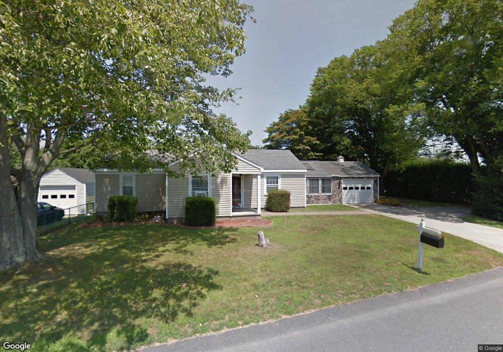
1602 W Main Rd Middletown, RI 02842
Estimated Value: $558,613 - $635,000
3
Beds
2
Baths
1,664
Sq Ft
$366/Sq Ft
Est. Value
About This Home
This home is located at 1602 W Main Rd, Middletown, RI 02842 and is currently estimated at $609,653, approximately $366 per square foot. 1602 W Main Rd is a home located in Newport County with nearby schools including Middletown High School, All Saints STEAM Academy, and The Pennfield School.
Ownership History
Date
Name
Owned For
Owner Type
Purchase Details
Closed on
May 2, 2005
Sold by
Krueger Neil A and Perrea Amyjo M
Bought by
Casey Daniel J and Casey Heidi L
Current Estimated Value
Home Financials for this Owner
Home Financials are based on the most recent Mortgage that was taken out on this home.
Original Mortgage
$280,000
Outstanding Balance
$145,138
Interest Rate
5.95%
Mortgage Type
Purchase Money Mortgage
Estimated Equity
$464,515
Purchase Details
Closed on
Jul 31, 2002
Sold by
Taddei Arthur C and Taddei Elizabeth
Bought by
Krueger Neil A and Perrea Amy-Jo M
Home Financials for this Owner
Home Financials are based on the most recent Mortgage that was taken out on this home.
Original Mortgage
$225,000
Interest Rate
6.64%
Create a Home Valuation Report for This Property
The Home Valuation Report is an in-depth analysis detailing your home's value as well as a comparison with similar homes in the area
Home Values in the Area
Average Home Value in this Area
Purchase History
| Date | Buyer | Sale Price | Title Company |
|---|---|---|---|
| Casey Daniel J | $340,000 | -- | |
| Krueger Neil A | $240,000 | -- |
Source: Public Records
Mortgage History
| Date | Status | Borrower | Loan Amount |
|---|---|---|---|
| Open | Krueger Neil A | $280,000 | |
| Previous Owner | Krueger Neil A | $225,000 |
Source: Public Records
Tax History
| Year | Tax Paid | Tax Assessment Tax Assessment Total Assessment is a certain percentage of the fair market value that is determined by local assessors to be the total taxable value of land and additions on the property. | Land | Improvement |
|---|---|---|---|---|
| 2025 | $5,152 | $437,000 | $259,900 | $177,100 |
| 2024 | $4,921 | $437,000 | $259,900 | $177,100 |
| 2023 | $4,001 | $317,800 | $167,700 | $150,100 |
| 2022 | $3,820 | $317,800 | $167,700 | $150,100 |
| 2021 | $3,820 | $317,800 | $167,700 | $150,100 |
| 2020 | $3,770 | $274,000 | $123,900 | $150,100 |
| 2018 | $3,768 | $274,000 | $123,900 | $150,100 |
| 2016 | $3,830 | $248,400 | $124,300 | $124,100 |
| 2015 | $3,736 | $248,400 | $124,300 | $124,100 |
| 2014 | $3,899 | $242,600 | $106,700 | $135,900 |
| 2013 | $3,811 | $242,600 | $106,700 | $135,900 |
Source: Public Records
Map
Nearby Homes
- 35 Squantum Dr
- 4 Phillips Ave
- 11 Roy Ave
- 11 Barton Ln
- 18 J h Dwyer Dr
- 481 Oliphant Ln
- 502 Forest Rd
- 743 Forest Park
- 836 Forest Park
- 521 Forest Park
- 529 Forest Park
- 533 Forest Park
- 0 Revolution Way
- 0 Revolution Way
- 206 Revolution Way
- 175 Revolution Way
- 171 Revolution Way
- 18 Randall Ln
- 126 Mitchells Ln
- 74 Valley Rd
Your Personal Tour Guide
Ask me questions while you tour the home.