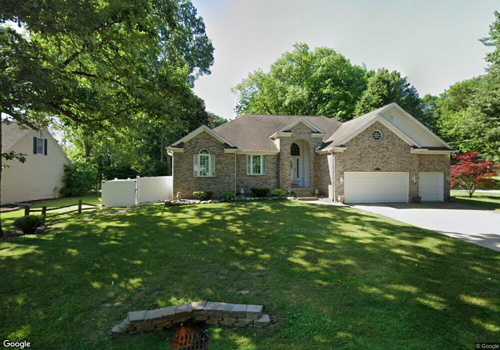
1602 Woodslea Dr Flint, MI 48507
Circle Neighborhood NeighborhoodEstimated Value: $184,000 - $262,000
3
Beds
1
Bath
2,207
Sq Ft
$103/Sq Ft
Est. Value
About This Home
This home is located at 1602 Woodslea Dr, Flint, MI 48507 and is currently estimated at $227,524, approximately $103 per square foot. 1602 Woodslea Dr is a home located in Genesee County with nearby schools including Freeman Elementary School, Flint Southwestern Classical Academy, and International Academy of Flint (K-12).
Ownership History
Date
Name
Owned For
Owner Type
Purchase Details
Closed on
May 2, 2017
Sold by
Rush Mary I
Bought by
Huoson Greta
Current Estimated Value
Purchase Details
Closed on
Feb 9, 2015
Sold by
Jpmorgan Chase Bank National Association
Bought by
Genesee County Habitat For Humanity
Purchase Details
Closed on
Jul 30, 2014
Sold by
Logan Earl D
Bought by
Jpmorgan Chase Bank National Association
Create a Home Valuation Report for This Property
The Home Valuation Report is an in-depth analysis detailing your home's value as well as a comparison with similar homes in the area
Home Values in the Area
Average Home Value in this Area
Purchase History
| Date | Buyer | Sale Price | Title Company |
|---|---|---|---|
| Huoson Greta | $10,000 | None Available | |
| Genesee County Habitat For Humanity | -- | None Available | |
| Jpmorgan Chase Bank National Association | $40,500 | None Available |
Source: Public Records
Tax History Compared to Growth
Tax History
| Year | Tax Paid | Tax Assessment Tax Assessment Total Assessment is a certain percentage of the fair market value that is determined by local assessors to be the total taxable value of land and additions on the property. | Land | Improvement |
|---|---|---|---|---|
| 2025 | $3,772 | $123,400 | $0 | $0 |
| 2024 | $3,321 | $117,300 | $0 | $0 |
| 2023 | $3,206 | $103,600 | $0 | $0 |
| 2022 | $0 | $83,500 | $0 | $0 |
| 2021 | $3,397 | $78,600 | $0 | $0 |
| 2020 | $2,966 | $74,100 | $0 | $0 |
| 2019 | $2,603 | $56,800 | $0 | $0 |
| 2018 | $3,697 | $49,800 | $0 | $0 |
| 2017 | $2,620 | $0 | $0 | $0 |
| 2016 | $2,599 | $0 | $0 | $0 |
| 2015 | -- | $0 | $0 | $0 |
| 2014 | -- | $0 | $0 | $0 |
| 2012 | -- | $47,800 | $0 | $0 |
Source: Public Records
Map
Nearby Homes
- 2618 Pinetree Dr
- 2910 Shawnee Ave
- 3115 Circle Dr
- 2221 Howard Ave
- 2224 Crocker Ave
- 3505 Comanche Ave
- 2029 Aitken Ave
- 1937 Chelan St
- 2121 Dwight Ave
- 1110 Pingree Ave
- 1601 Wayne St
- 1917 Whittlesey St
- 3614 Comanche Ave
- 9211 Owen St
- 2010 Crocker Ave
- 2050 Ferris Ave
- 1840 Mcphail St
- 454 E Atherton Rd
- 630 Buckingham Ave
- 213 E Lakeview Ave
- 1618 Woodslea Dr
- 2601 Hillcrest Ave
- 2615 Hillcrest Ave
- 2602 Pinetree Dr
- 1521 Woodslea Dr
- 2610 Pinetree Dr
- 1522 Woodslea Dr
- 1601 Woodslea Dr
- 1527 Woodslea Dr
- 2616 Hillcrest Ave
- 1615 Woodslea Dr
- 2621 Hillcrest Ave
- 2626 Pinetree Dr
- 1621 Woodslea Dr
- 1516 Woodslea Dr
- 2634 Pinetree Dr
- 1521 Arrow Ln
- 2605 Pinetree Dr
- 1515 Woodslea Dr
- 2609 Pinetree Dr