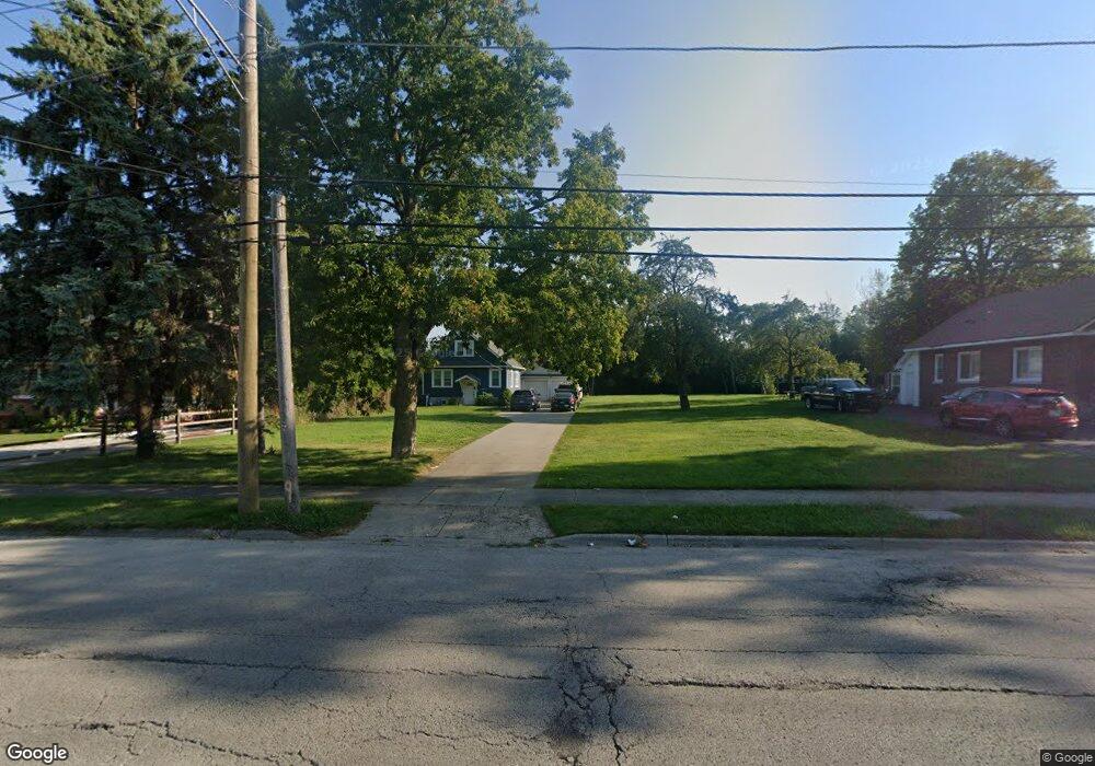
1603 10th St Waukegan, IL 60085
Lyon Acres NeighborhoodEstimated Value: $184,758 - $208,000
3
Beds
1
Bath
900
Sq Ft
$217/Sq Ft
Est. Value
About This Home
This home is located at 1603 10th St, Waukegan, IL 60085 and is currently estimated at $194,940, approximately $216 per square foot. 1603 10th St is a home located in Lake County with nearby schools including Clearview Elementary School, John R Lewis Middle School, and Waukegan High School.
Ownership History
Date
Name
Owned For
Owner Type
Purchase Details
Closed on
Sep 7, 2006
Sold by
Martinez Agustin
Bought by
Ochoa Maria D
Current Estimated Value
Home Financials for this Owner
Home Financials are based on the most recent Mortgage that was taken out on this home.
Original Mortgage
$80,750
Outstanding Balance
$48,255
Interest Rate
6.58%
Mortgage Type
Purchase Money Mortgage
Estimated Equity
$146,685
Purchase Details
Closed on
Dec 29, 1997
Sold by
Bulls Owen L and Bulls Dorothy L
Bought by
Martinez Agustin
Home Financials for this Owner
Home Financials are based on the most recent Mortgage that was taken out on this home.
Original Mortgage
$55,112
Interest Rate
7.26%
Mortgage Type
FHA
Create a Home Valuation Report for This Property
The Home Valuation Report is an in-depth analysis detailing your home's value as well as a comparison with similar homes in the area
Home Values in the Area
Average Home Value in this Area
Purchase History
| Date | Buyer | Sale Price | Title Company |
|---|---|---|---|
| Ochoa Maria D | $85,000 | Ticor | |
| Martinez Agustin | $55,500 | -- |
Source: Public Records
Mortgage History
| Date | Status | Borrower | Loan Amount |
|---|---|---|---|
| Open | Ochoa Maria D | $80,750 | |
| Previous Owner | Martinez Agustin | $55,112 |
Source: Public Records
Tax History Compared to Growth
Tax History
| Year | Tax Paid | Tax Assessment Tax Assessment Total Assessment is a certain percentage of the fair market value that is determined by local assessors to be the total taxable value of land and additions on the property. | Land | Improvement |
|---|---|---|---|---|
| 2024 | $2,731 | $43,364 | $16,809 | $26,555 |
| 2023 | $2,980 | $37,516 | $13,795 | $23,721 |
| 2022 | $2,980 | $36,897 | $11,444 | $25,453 |
| 2021 | $2,760 | $32,918 | $10,206 | $22,712 |
| 2020 | $2,751 | $30,667 | $9,508 | $21,159 |
| 2019 | $2,717 | $28,102 | $8,713 | $19,389 |
| 2018 | $2,630 | $26,978 | $5,397 | $21,581 |
| 2017 | $2,508 | $23,868 | $4,775 | $19,093 |
| 2016 | $2,250 | $20,740 | $4,149 | $16,591 |
| 2015 | $2,071 | $18,562 | $3,713 | $14,849 |
| 2014 | $1,193 | $12,701 | $2,509 | $10,192 |
| 2012 | $1,829 | $13,760 | $2,719 | $11,041 |
Source: Public Records
Map
Nearby Homes
- 1712 11th St
- 819 S Fulton Ave
- 1511 14th St
- 1244 Victoria Ave
- 724 10th St
- 1210 Park Ave
- 815 Prescott St
- 1521 Seymour Ave
- 910 Cummings Ave
- 1101 Adams St
- 720 13th St
- 1301 Park Ave
- 1423 Victoria Ave
- 1102 Wadsworth Ave
- 842 Wadsworth Ave
- 631 8th St
- 1535 Glenn Dr
- 1617 Grove Ave
- 1542 Victoria Ave
- 831 S Mcalister Ave