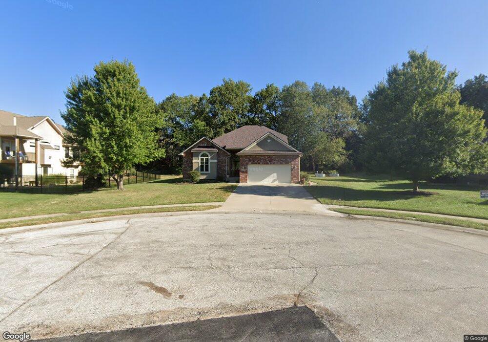
1603 Amherst Warrensburg, MO 64093
Estimated Value: $450,000 - $512,000
5
Beds
4
Baths
3,824
Sq Ft
$123/Sq Ft
Est. Value
About This Home
This home is located at 1603 Amherst, Warrensburg, MO 64093 and is currently estimated at $469,369, approximately $122 per square foot. 1603 Amherst is a home located in Johnson County with nearby schools including Maple Grove Elementary School, Martin Warren Elementary School, and Warrensburg Middle School.
Ownership History
Date
Name
Owned For
Owner Type
Purchase Details
Closed on
May 26, 2023
Sold by
Lucero Luke Arthur and Lucero Amber Mary
Bought by
Hoyer Pamela N
Current Estimated Value
Purchase Details
Closed on
Jun 10, 2016
Sold by
Benson David and Benson Anne
Bought by
Lucero Luke Arthur and Lucero Amber Mary
Home Financials for this Owner
Home Financials are based on the most recent Mortgage that was taken out on this home.
Original Mortgage
$209,600
Interest Rate
3.61%
Mortgage Type
New Conventional
Purchase Details
Closed on
Jun 18, 2009
Sold by
Payne Cidy L and Payne Trent L
Bought by
Benson David and Benson Anne
Home Financials for this Owner
Home Financials are based on the most recent Mortgage that was taken out on this home.
Original Mortgage
$278,900
Interest Rate
4.84%
Mortgage Type
VA
Create a Home Valuation Report for This Property
The Home Valuation Report is an in-depth analysis detailing your home's value as well as a comparison with similar homes in the area
Home Values in the Area
Average Home Value in this Area
Purchase History
| Date | Buyer | Sale Price | Title Company |
|---|---|---|---|
| Hoyer Pamela N | -- | Truman Title | |
| Lucero Luke Arthur | -- | Jctc | |
| Benson David | -- | -- |
Source: Public Records
Mortgage History
| Date | Status | Borrower | Loan Amount |
|---|---|---|---|
| Previous Owner | Lucero Luke Arthur | $209,600 | |
| Previous Owner | Benson David | $278,900 |
Source: Public Records
Tax History
| Year | Tax Paid | Tax Assessment Tax Assessment Total Assessment is a certain percentage of the fair market value that is determined by local assessors to be the total taxable value of land and additions on the property. | Land | Improvement |
|---|---|---|---|---|
| 2025 | $4,157 | $58,294 | $0 | $0 |
| 2024 | $4,089 | $53,544 | $0 | $0 |
| 2023 | $4,089 | $53,544 | $0 | $0 |
| 2022 | $3,939 | $51,353 | $0 | $0 |
| 2021 | $3,925 | $51,353 | $0 | $0 |
| 2020 | $3,799 | $49,163 | $0 | $0 |
| 2019 | $3,796 | $49,163 | $0 | $0 |
| 2017 | $3,787 | $49,163 | $0 | $0 |
| 2016 | $3,491 | $49,163 | $0 | $0 |
| 2015 | $3,584 | $49,163 | $0 | $0 |
| 2014 | $3,110 | $49,163 | $0 | $0 |
Source: Public Records
Map
Nearby Homes
- 1503 Nottingham Dr
- 1227 Pembrooke Dr
- 1219 Pembrooke Dr
- 1321 Fawn Ln
- 1219 S Countryview Ln
- 1208 Cambridge Dr
- 1206 Cambridge Dr
- 1205 Half Day Dr
- 711 Brookside Dr
- 1011 Eli Ln
- 1103 N Eli Ln
- 146 SE 180th Rd
- 354 SE 85th Rd
- 356 SE 85th Rd
- 219 SE 141st Rd
- 21 SE 130 Rd
- 991 S Mitchell St
- 1106 S Mitchell St
- 1719 Sunrise Dr
- 1722 Sunset Dr
- 1603 Amhearst St
- 1305 Hollandale Dr
- 1605 Amhearst St
- 1303 Hollandale Dr
- 1232 Pembrooke Dr
- 1604 Amhearst St
- 1234 Pembrooke Dr
- 1230 Pembrooke Dr
- 1309 Hollandale Dr
- 1504 Lexington Ct
- 1236 Pembrooke Dr
- 1503 Lexington Ct
- 1308 Hollandale Dr
- 1311 Hollandale Dr
- 1233 Pembrooke Dr
- 1231 Pembrooke Dr
- 1502 Lexington Ct
- 1235 Pembrooke Dr
- 1238 Pembrooke Dr
- 1501 Lexington Ct
Your Personal Tour Guide
Ask me questions while you tour the home.