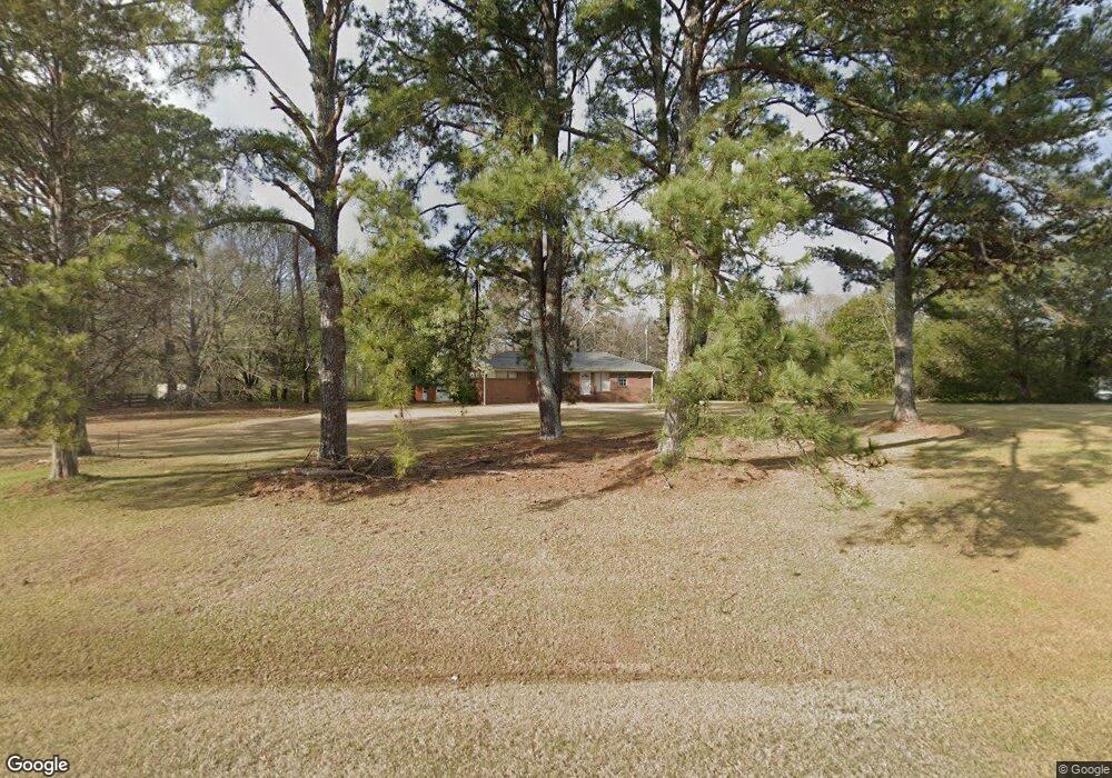
1603 Highway 81 E McDonough, GA 30252
Estimated Value: $256,991 - $288,000
3
Beds
2
Baths
1,503
Sq Ft
$183/Sq Ft
Est. Value
About This Home
This home is located at 1603 Highway 81 E, McDonough, GA 30252 and is currently estimated at $275,248, approximately $183 per square foot. 1603 Highway 81 E is a home located in Henry County with nearby schools including New Hope Elementary School, Ola Middle School, and Ola High School.
Ownership History
Date
Name
Owned For
Owner Type
Purchase Details
Closed on
Dec 30, 2020
Sold by
Glover Michael C
Bought by
A Friends House Inc
Current Estimated Value
Purchase Details
Closed on
Jul 5, 2000
Sold by
Wallace Eloise F
Bought by
Glover Michael C
Home Financials for this Owner
Home Financials are based on the most recent Mortgage that was taken out on this home.
Original Mortgage
$100,000
Interest Rate
8.63%
Mortgage Type
New Conventional
Create a Home Valuation Report for This Property
The Home Valuation Report is an in-depth analysis detailing your home's value as well as a comparison with similar homes in the area
Home Values in the Area
Average Home Value in this Area
Purchase History
| Date | Buyer | Sale Price | Title Company |
|---|---|---|---|
| A Friends House Inc | -- | -- | |
| Glover Michael C | $121,000 | -- |
Source: Public Records
Mortgage History
| Date | Status | Borrower | Loan Amount |
|---|---|---|---|
| Previous Owner | Glover Michael C | $100,000 |
Source: Public Records
Tax History Compared to Growth
Tax History
| Year | Tax Paid | Tax Assessment Tax Assessment Total Assessment is a certain percentage of the fair market value that is determined by local assessors to be the total taxable value of land and additions on the property. | Land | Improvement |
|---|---|---|---|---|
| 2025 | $40 | $125,160 | $15,680 | $109,480 |
| 2024 | $40 | $115,120 | $14,240 | $100,880 |
| 2023 | $40 | $112,840 | $13,680 | $99,160 |
| 2022 | $40 | $80,200 | $12,640 | $67,560 |
| 2021 | $2,443 | $62,640 | $10,840 | $51,800 |
| 2020 | $2,329 | $59,680 | $10,200 | $49,480 |
| 2019 | $2,183 | $55,880 | $9,680 | $46,200 |
| 2018 | $1,996 | $51,000 | $8,960 | $42,040 |
| 2016 | $1,596 | $40,560 | $7,000 | $33,560 |
| 2015 | $1,559 | $38,400 | $7,080 | $31,320 |
| 2014 | $1,257 | $30,400 | $7,080 | $23,320 |
Source: Public Records
Map
Nearby Homes
- 1926 King Mill Rd
- 1916 King Mill Rd
- 1936 King Mill Rd
- 1891 Highway 81 E
- 284 Sowell Rd
- 242 Old Jackson Rd
- 160 Wellington Dr
- 125 Chardonnay Oaks Dr
- 125 Steeplechase Dr
- 325 Rosser Rd
- 136 Crown Forest Dr
- 150 Sterling Ave
- 275 S Bethany Rd
- 315 S Bethany Rd
- 5 Wellington Dr
- 461 Old Jackson Rd
- 205 Calvery Way
- 466 Best Friends Turn Aly
- 312 Amble Side
- 239 Darwish Dr
- 1587 Highway 81 E
- 1666-A Highway 81 E
- 1665 Highway 81 E
- 1675 Highway 81 E
- 85 Sowell Rd
- 1595 Highway 81 E
- 1617 Highway 81 E
- 0 Sowell Rd Unit 7415299
- 95 Sowell Rd
- 1705 Highway 81 E
- 80 Sowell Rd
- 97 Sowell Rd
- 0 Old Jackson Rd Unit 14.5+/- ACRES
- 0 Old Jackson Rd Unit 20132543
- 0 Old Jackson Rd Unit 20022320
- 0 Old Jackson Rd Unit 20015651
- 0 Old Jackson Rd Unit 20010983
- 0 Old Jackson Rd Unit 7596077
- 0 Old Jackson Rd Unit 9025253
- 0 Old Jackson Rd Unit 6884620