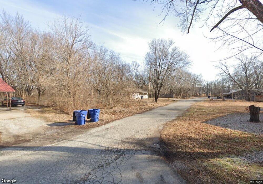
1603 Lilburn Ave Pawhuska, OK 74056
Estimated Value: $119,000 - $163,000
3
Beds
1
Bath
1,401
Sq Ft
$100/Sq Ft
Est. Value
About This Home
This home is located at 1603 Lilburn Ave, Pawhuska, OK 74056 and is currently estimated at $139,667, approximately $99 per square foot. 1603 Lilburn Ave is a home located in Osage County with nearby schools including Indian Camp Elementary School, Pawhuska Elementary School, and Pawhuska Middle School.
Ownership History
Date
Name
Owned For
Owner Type
Purchase Details
Closed on
Jul 22, 2016
Sold by
Carp Properties Llc
Bought by
Berlin Llc
Current Estimated Value
Purchase Details
Closed on
Jul 30, 2007
Sold by
Sell Eugene D and Sell Patricia
Bought by
Carp Properties Llc
Home Financials for this Owner
Home Financials are based on the most recent Mortgage that was taken out on this home.
Original Mortgage
$53,000
Interest Rate
6.73%
Mortgage Type
Future Advance Clause Open End Mortgage
Purchase Details
Closed on
Mar 27, 2000
Sold by
Nbc Bank
Bought by
Sell Eugene D and Sell Deckard A
Purchase Details
Closed on
Dec 6, 1999
Sold by
Bickford Peggy
Bought by
Nbc Bank
Purchase Details
Closed on
Jan 24, 1994
Sold by
Housing Authority Of Osage
Bought by
Willison Julia Cecelia
Create a Home Valuation Report for This Property
The Home Valuation Report is an in-depth analysis detailing your home's value as well as a comparison with similar homes in the area
Home Values in the Area
Average Home Value in this Area
Purchase History
| Date | Buyer | Sale Price | Title Company |
|---|---|---|---|
| Berlin Llc | -- | None Available | |
| Carp Properties Llc | $7,000 | -- | |
| Sell Eugene D | $26,000 | -- | |
| Nbc Bank | -- | -- | |
| Willison Julia Cecelia | -- | -- |
Source: Public Records
Mortgage History
| Date | Status | Borrower | Loan Amount |
|---|---|---|---|
| Previous Owner | Carp Properties Llc | $53,000 |
Source: Public Records
Tax History Compared to Growth
Tax History
| Year | Tax Paid | Tax Assessment Tax Assessment Total Assessment is a certain percentage of the fair market value that is determined by local assessors to be the total taxable value of land and additions on the property. | Land | Improvement |
|---|---|---|---|---|
| 2024 | $559 | $6,059 | $168 | $5,891 |
| 2023 | $559 | $6,059 | $168 | $5,891 |
| 2022 | $540 | $6,059 | $168 | $5,891 |
| 2021 | $543 | $6,059 | $168 | $5,891 |
| 2020 | $552 | $6,059 | $168 | $5,891 |
| 2019 | $522 | $5,951 | $168 | $5,783 |
| 2018 | $517 | $5,815 | $168 | $5,647 |
| 2017 | $497 | $5,538 | $168 | $5,370 |
| 2016 | $476 | $5,275 | $168 | $5,107 |
| 2015 | $469 | $5,024 | $168 | $4,856 |
| 2014 | $455 | $4,784 | $168 | $4,616 |
| 2013 | $433 | $4,557 | $168 | $4,389 |
Source: Public Records
Map
Nearby Homes
- 2125 Mckenzie Rd
- 1322 Boundary Ave
- 1318 Boundary Ave
- 1119 E 13th St
- 1205 Brenner Ave
- 1815 Grandview Ave
- 1700 Grandview Ave
- 1715 Grandview Ave
- 1419 Leahy Ave
- 421 E 11th St
- 0 Prudom Ave
- 1721 Bighill Ave
- 208 E 12th St
- 312 E 11th St
- 906 Rogers Ave
- 321 E 10th St
- 101 E 11th St
- 501 W 17th St
- 320 E 7th St
- 225 E 6th St
- 1507 Lilburn Ave
- 2206 Balyss Ave
- 2207 Red Eagle Blvd
- 1505 Lilburn Ave
- 2204 Balyss Ave
- 2205 Red Eagle Blvd
- 2207 Bayliss Ave
- 1503 Lilburn Ave
- 2202 Balyss Ave
- 2203 Red Eagle Blvd
- 2205 Balyss Ave
- 2203 Bayliss Ave
- 1501 Lilburn Ave
- 2201 Red Eagle Blvd
- 2200 Bayliss Ave
- 2206 Sunset Dr
- 2204 Sunset Dr
- 2201 Bayliss Ave
- 1409 Lilburn Ave
- 2202 Sunset Dr