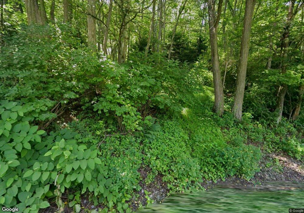
1603 Lower Smith Gap Rd Kunkletown, PA 18058
Estimated Value: $483,000 - $589,000
3
Beds
3
Baths
1,352
Sq Ft
$385/Sq Ft
Est. Value
About This Home
This home is located at 1603 Lower Smith Gap Rd, Kunkletown, PA 18058 and is currently estimated at $521,072, approximately $385 per square foot. 1603 Lower Smith Gap Rd is a home located in Monroe County with nearby schools including Pleasant Valley Intermediate School, Pleasant Valley Elementary School, and Pleasant Valley Middle School.
Ownership History
Date
Name
Owned For
Owner Type
Purchase Details
Closed on
Jun 21, 2017
Sold by
Sharp Stephen F and Sharp Lidia M
Bought by
Sharp Stephen F
Current Estimated Value
Home Financials for this Owner
Home Financials are based on the most recent Mortgage that was taken out on this home.
Original Mortgage
$100,000
Outstanding Balance
$83,179
Interest Rate
4.02%
Mortgage Type
New Conventional
Estimated Equity
$437,893
Purchase Details
Closed on
Jan 2, 2004
Bought by
Sharp Stephen F and Sharp Lidia M
Create a Home Valuation Report for This Property
The Home Valuation Report is an in-depth analysis detailing your home's value as well as a comparison with similar homes in the area
Home Values in the Area
Average Home Value in this Area
Purchase History
| Date | Buyer | Sale Price | Title Company |
|---|---|---|---|
| Sharp Stephen F | -- | None Available | |
| Sharp Stephen F | $131,000 | -- |
Source: Public Records
Mortgage History
| Date | Status | Borrower | Loan Amount |
|---|---|---|---|
| Open | Sharp Stephen F | $100,000 |
Source: Public Records
Tax History Compared to Growth
Tax History
| Year | Tax Paid | Tax Assessment Tax Assessment Total Assessment is a certain percentage of the fair market value that is determined by local assessors to be the total taxable value of land and additions on the property. | Land | Improvement |
|---|---|---|---|---|
| 2025 | $2,011 | $267,340 | $149,080 | $118,260 |
| 2024 | $1,651 | $267,340 | $149,080 | $118,260 |
| 2023 | $8,037 | $267,340 | $149,080 | $118,260 |
| 2022 | $7,750 | $267,340 | $149,080 | $118,260 |
| 2021 | $7,581 | $267,340 | $149,080 | $118,260 |
| 2020 | $1,384 | $267,340 | $149,080 | $118,260 |
| 2019 | $5,136 | $28,450 | $8,440 | $20,010 |
| 2018 | $5,079 | $28,450 | $8,440 | $20,010 |
| 2017 | $5,079 | $28,450 | $8,440 | $20,010 |
| 2016 | $875 | $28,450 | $8,440 | $20,010 |
| 2015 | -- | $28,450 | $8,440 | $20,010 |
| 2014 | -- | $28,450 | $8,440 | $20,010 |
Source: Public Records
Map
Nearby Homes
- 295 Railbed Trail
- Lot 38 Woodview Hills
- 131 Lobach Ln
- 1182 Quail Rd
- 998 Newichawnoe St
- 5990 Little Gap Rd
- 0 Benders Dr
- 2650 57 Rd
- 3271 W Scenic Dr
- 1243 Blue Mountain Cir
- 137 Chicola Lake Trail S
- 2040 Church Rd Unit 14
- 142 Pine Grove Rd
- 1505 Corkscrew Dr Unit 12
- 1310 Blue Mountain Cir
- 1509 Corkscrew Dr Unit 11
- 1513 Corkscrew Dr Unit 10
- 5138 Walnut St
- 1517 Corkscrew Dr Unit 9
- 1522 Corkscrew Dr Unit 6
- 495 Lower Gap Rd
- 1614 Lower Smith Gap Rd
- 1633 Lower Smith Gap Rd
- 118 Schaffer Rd
- 1580 Lower Smith Gap Rd
- 152 Farrier Ln
- 108 Farrier Ln
- 127 Steep Hill Ln
- 127 Steep Hill Ln
- 1653 Lower Smith Gap Rd
- 142 Schaffer Rd
- 1556 Lower Smith Gap Rd
- 0 Schaffer T 352 8 Rd
- 119 Schaffer Rd
- 0 T 352 & Quinton Dr Unit PM-98914
- 2357 Point Phillips Rd
- 156 Schaffer Rd
- 124 Roman Rd
- 21 Roman Rd
- 123 Roman Rd
