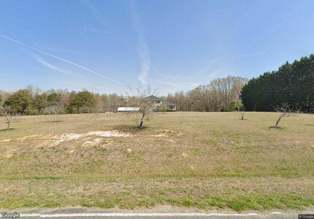
1603 McDade Store Rd Unit 27231 Cedar Grove, NC 27231
Estimated Value: $726,000 - $784,000
3
Beds
5
Baths
4,064
Sq Ft
$184/Sq Ft
Est. Value
About This Home
This home is located at 1603 McDade Store Rd Unit 27231, Cedar Grove, NC 27231 and is currently estimated at $746,831, approximately $183 per square foot. 1603 McDade Store Rd Unit 27231 is a home located in Orange County with nearby schools including Central Elementary School and Gravelly Hill Middle.
Ownership History
Date
Name
Owned For
Owner Type
Purchase Details
Closed on
Nov 12, 2014
Sold by
Whitfield Philip
Bought by
Bauer Raymond Marshall and Bauer Bambi Lynn
Current Estimated Value
Home Financials for this Owner
Home Financials are based on the most recent Mortgage that was taken out on this home.
Original Mortgage
$356,250
Outstanding Balance
$275,493
Interest Rate
4.26%
Mortgage Type
New Conventional
Estimated Equity
$471,338
Purchase Details
Closed on
Sep 11, 2003
Sold by
Vaughn Michael D and Vaughn Julie C
Bought by
Whitfield Philip
Home Financials for this Owner
Home Financials are based on the most recent Mortgage that was taken out on this home.
Original Mortgage
$232,000
Interest Rate
3.75%
Mortgage Type
Fannie Mae Freddie Mac
Create a Home Valuation Report for This Property
The Home Valuation Report is an in-depth analysis detailing your home's value as well as a comparison with similar homes in the area
Home Values in the Area
Average Home Value in this Area
Purchase History
| Date | Buyer | Sale Price | Title Company |
|---|---|---|---|
| Bauer Raymond Marshall | $375,000 | None Available | |
| Whitfield Philip | $290,000 | -- |
Source: Public Records
Mortgage History
| Date | Status | Borrower | Loan Amount |
|---|---|---|---|
| Open | Bauer Raymond Marshall | $356,250 | |
| Previous Owner | Whitfield Philip | $232,000 |
Source: Public Records
Tax History Compared to Growth
Tax History
| Year | Tax Paid | Tax Assessment Tax Assessment Total Assessment is a certain percentage of the fair market value that is determined by local assessors to be the total taxable value of land and additions on the property. | Land | Improvement |
|---|---|---|---|---|
| 2025 | $5,025 | $684,700 | $146,200 | $538,500 |
| 2024 | $4,313 | $438,100 | $78,500 | $359,600 |
| 2023 | $4,196 | $438,100 | $78,500 | $359,600 |
| 2022 | $4,118 | $438,100 | $78,500 | $359,600 |
| 2021 | $4,063 | $438,100 | $78,500 | $359,600 |
| 2020 | $3,990 | $405,500 | $70,800 | $334,700 |
| 2018 | $3,970 | $405,500 | $70,800 | $334,700 |
| 2017 | $3,943 | $405,500 | $70,800 | $334,700 |
| 2016 | $3,943 | $397,500 | $70,800 | $326,700 |
| 2015 | $3,949 | $397,500 | $70,800 | $326,700 |
| 2014 | $3,870 | $397,500 | $70,800 | $326,700 |
Source: Public Records
Map
Nearby Homes
- Tbd Carr Store Rd
- 3702 Carr Store Rd
- 0 Highway 86 Unit 10048132
- 0 Highway 86 Unit 10089432
- 4200 Carr Store Rd
- 8729 Lot B Allison Rd
- 8729 B Allison Rd
- 8729 A Allison Rd
- 8729 Lot A Allison Rd
- Lot 10 Bellechase Rd
- 0009 Tallulah Loop Ln
- 0001 Luke Ln
- 0006 Tallulah Loop
- 0 Doc Corbett Rd
- Tbd Mill Creek Rd
- 112 Scnobia Taylor Rd
- 8717 Allison Rd
- 605 Canotage Ct
- 18.5 Acres Olin Rd
- 11.5 Acres Olin Rd
- 1521 McDade Store Rd
- 1705 McDade Store Rd Unit 27231
- 1615 McDade Store Rd
- 1501 McDade Store Rd
- 1511 McDade Store Rd
- 1600 McDade Store Rd
- 1612 McDade Store Rd
- 1430 McDade Store Rd
- 1406 McDade Store Rd
- 6712 Efland Cedar Grove Rd
- 6315 Oakley Rd
- 6301 Oakley Rd
- 1401 McDade Store Rd
- 1823 McDade Store Rd Unit 27231
- 6323 Oakley Rd
- 301 Snodgrass Ln
- 6520 Efland Cedar Grove Rd Unit 27231
- 6618 Efland Cedar Grove Rd
- 6618 Efland - Cedar Grove Rd
- 0 Lt 7 Carr Store Rd Unit LOT 7