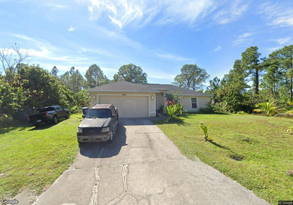
1603 W 10th St Unit 7 Lehigh Acres, FL 33972
Richmond NeighborhoodEstimated Value: $255,000 - $386,000
3
Beds
2
Baths
1,556
Sq Ft
$214/Sq Ft
Est. Value
About This Home
This home is located at 1603 W 10th St Unit 7, Lehigh Acres, FL 33972 and is currently estimated at $332,661, approximately $213 per square foot. 1603 W 10th St Unit 7 is a home located in Lee County with nearby schools including Lehigh Elementary School, The Alva School, and Gateway Elementary School.
Ownership History
Date
Name
Owned For
Owner Type
Purchase Details
Closed on
Jan 10, 2006
Sold by
Gode Marcelene A
Bought by
Morant Tennyson A and Webber Joan Rose
Current Estimated Value
Home Financials for this Owner
Home Financials are based on the most recent Mortgage that was taken out on this home.
Original Mortgage
$208,000
Outstanding Balance
$78,784
Interest Rate
1%
Mortgage Type
Negative Amortization
Estimated Equity
$253,877
Purchase Details
Closed on
Feb 23, 2005
Sold by
Pt & W Holding Co Llc
Bought by
Gode Marcelene A
Create a Home Valuation Report for This Property
The Home Valuation Report is an in-depth analysis detailing your home's value as well as a comparison with similar homes in the area
Home Values in the Area
Average Home Value in this Area
Purchase History
| Date | Buyer | Sale Price | Title Company |
|---|---|---|---|
| Morant Tennyson A | $260,000 | Tradewinds Title Inc | |
| Gode Marcelene A | $28,500 | Title Professionals Of Fl |
Source: Public Records
Mortgage History
| Date | Status | Borrower | Loan Amount |
|---|---|---|---|
| Open | Morant Tennyson A | $208,000 |
Source: Public Records
Tax History Compared to Growth
Tax History
| Year | Tax Paid | Tax Assessment Tax Assessment Total Assessment is a certain percentage of the fair market value that is determined by local assessors to be the total taxable value of land and additions on the property. | Land | Improvement |
|---|---|---|---|---|
| 2025 | $1,988 | $138,176 | -- | -- |
| 2024 | $1,847 | $134,282 | -- | -- |
| 2023 | $1,847 | $130,371 | $0 | $0 |
| 2022 | $1,727 | $126,574 | $0 | $0 |
| 2021 | $1,649 | $144,693 | $4,225 | $140,468 |
| 2020 | $1,647 | $121,190 | $0 | $0 |
| 2019 | $1,670 | $118,465 | $0 | $0 |
| 2018 | $1,640 | $116,256 | $0 | $0 |
| 2017 | $1,601 | $113,865 | $3,045 | $110,820 |
| 2016 | $1,729 | $96,754 | $3,045 | $93,709 |
| 2015 | $1,577 | $81,902 | $2,710 | $79,192 |
| 2014 | $1,384 | $74,701 | $2,075 | $72,626 |
| 2013 | -- | $64,205 | $2,000 | $62,205 |
Source: Public Records
Map
Nearby Homes
- 1005 State Ave
- 1006 State Ave
- 1013 Rush Ave
- 910 Dixie Ave
- 908 Dixie Ave
- 1407 W 9th St
- 1017 Rush Ave
- 818 State Ave
- 1900 W 10th St Unit 13
- 919 Dixie Ave Unit 22
- 1020 Rush Ave
- 1015 Clark Ave
- 902 Clark Ave
- 1803 W 9th St
- 1300 W 10th St
- 1009 Acacia Ave
- 1705 W 11th St
- 1606 W 11th St
- 811 State Ave
- 1205 W 10th St