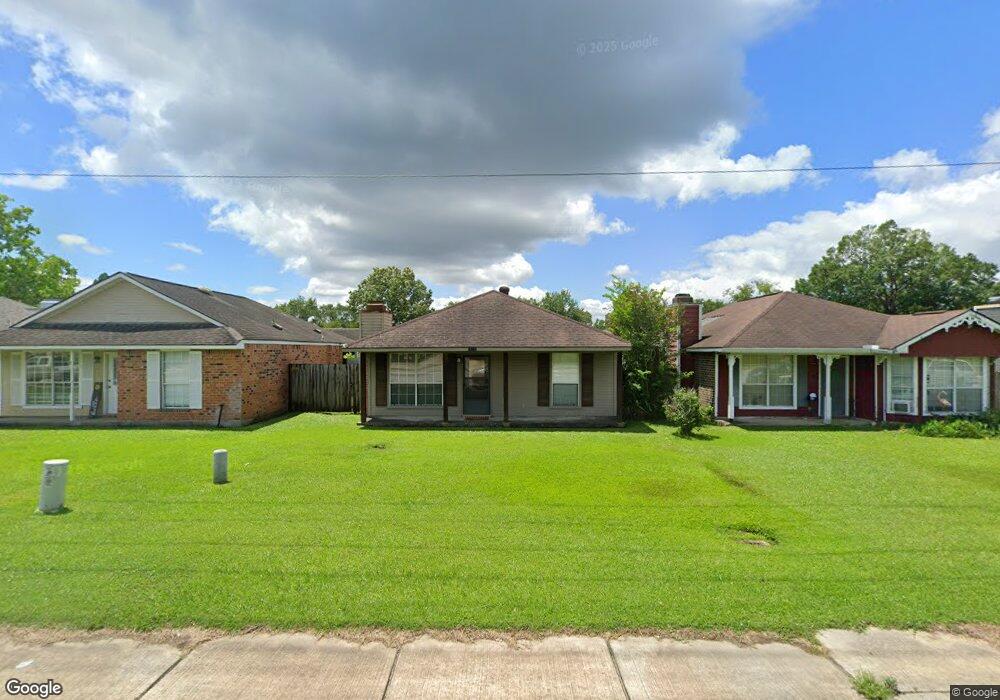
16034 S Harrells Ferry Rd Baton Rouge, LA 70816
Shenandoah NeighborhoodEstimated Value: $115,245 - $134,000
--
Bed
--
Bath
999
Sq Ft
$126/Sq Ft
Est. Value
About This Home
This home is located at 16034 S Harrells Ferry Rd, Baton Rouge, LA 70816 and is currently estimated at $125,561, approximately $125 per square foot. 16034 S Harrells Ferry Rd is a home located in East Baton Rouge Parish with nearby schools including Wedgewood Elementary School, Southeast Middle School, and Tara High School.
Ownership History
Date
Name
Owned For
Owner Type
Purchase Details
Closed on
Aug 25, 2005
Sold by
Faudi Marvin M
Bought by
Sanders Michael T
Current Estimated Value
Home Financials for this Owner
Home Financials are based on the most recent Mortgage that was taken out on this home.
Original Mortgage
$81,900
Outstanding Balance
$43,679
Interest Rate
5.8%
Mortgage Type
New Conventional
Estimated Equity
$81,882
Create a Home Valuation Report for This Property
The Home Valuation Report is an in-depth analysis detailing your home's value as well as a comparison with similar homes in the area
Home Values in the Area
Average Home Value in this Area
Purchase History
| Date | Buyer | Sale Price | Title Company |
|---|---|---|---|
| Sanders Michael T | $81,900 | -- |
Source: Public Records
Mortgage History
| Date | Status | Borrower | Loan Amount |
|---|---|---|---|
| Open | Sanders Michael T | $81,900 |
Source: Public Records
Tax History Compared to Growth
Tax History
| Year | Tax Paid | Tax Assessment Tax Assessment Total Assessment is a certain percentage of the fair market value that is determined by local assessors to be the total taxable value of land and additions on the property. | Land | Improvement |
|---|---|---|---|---|
| 2024 | $307 | $9,900 | $1,540 | $8,360 |
| 2023 | $307 | $9,900 | $1,540 | $8,360 |
| 2022 | $1,143 | $9,900 | $1,540 | $8,360 |
| 2021 | $1,121 | $9,900 | $1,540 | $8,360 |
| 2020 | $1,135 | $9,900 | $1,540 | $8,360 |
| 2019 | $1,076 | $9,000 | $1,400 | $7,600 |
| 2018 | $1,063 | $9,000 | $1,400 | $7,600 |
| 2017 | $1,063 | $9,000 | $1,400 | $7,600 |
| 2016 | $32 | $6,340 | $1,400 | $4,940 |
| 2015 | $199 | $9,000 | $1,400 | $7,600 |
| 2014 | $196 | $9,000 | $1,400 | $7,600 |
| 2013 | -- | $9,000 | $1,400 | $7,600 |
Source: Public Records
Map
Nearby Homes
- 2924 Oneal Ln
- 16023 Derby Ave
- 2906 Niccoline Way
- 16222 Thorncrown Ln
- 2929 Palatine Place
- 3305 Oneal Ln Unit D
- 2909 Palatine Place
- 3422 & 3 448 King Bradford Dr
- 16161 Chancel Ave Unit A1
- 3421 O'Neal Ln Unit D
- 3421 Oneal Ln Unit A
- 3482 King Bradford Dr
- 3455 Jones Creek Rd
- 16137 Chancel Ave
- 16117 Chancel Ave
- 3146 Silver Sand Dr
- 2346 Morningbrook Dr
- 2508 Shadowbrook Dr
- 2606 Shadowbrook Dr
- 16422 Bonham Ave
- 16044 S Harrells Ferry Rd
- 16024 S Harrells Ferry Rd
- 16054 S Harrells Ferry Rd
- 16014 S Harrells Ferry Rd
- 16025 S Harrells Ferry Rd
- 16064 S Harrells Ferry Rd
- 16004 S Harrells Ferry Rd
- 16035 Manchester Ave
- 16025 Manchester Ave
- 16045 Manchester Ave
- 15976 S Harrells Ferry Rd
- 16015 Manchester Ave
- 16055 Manchester Ave
- 16065 Manchester Ave
- 16005 Manchester Ave
- 15966 S Harrells Ferry Rd
- 16075 Manchester Ave
- 15977 Manchester Ave
- 15963 S Harrells Ferry Rd
- 15956 S Harrells Ferry Rd