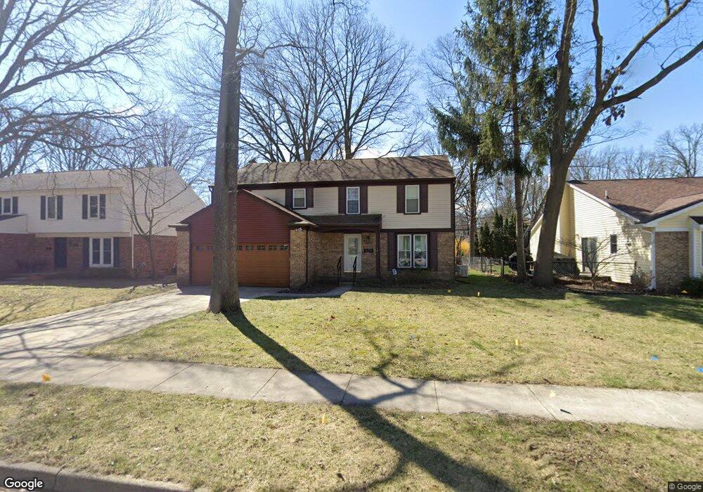
16039 Kirkshire Ave Beverly Hills, MI 48025
Estimated Value: $419,000 - $667,000
4
Beds
3
Baths
2,199
Sq Ft
$259/Sq Ft
Est. Value
About This Home
This home is located at 16039 Kirkshire Ave, Beverly Hills, MI 48025 and is currently estimated at $570,177, approximately $259 per square foot. 16039 Kirkshire Ave is a home located in Oakland County with nearby schools including Wylie E. Groves High School, Greenfield Elementary School, and Berkshire Middle School.
Ownership History
Date
Name
Owned For
Owner Type
Purchase Details
Closed on
Aug 21, 2000
Sold by
Morici Michele M
Bought by
Holstein Christopher J
Current Estimated Value
Home Financials for this Owner
Home Financials are based on the most recent Mortgage that was taken out on this home.
Original Mortgage
$125,000
Interest Rate
7.58%
Purchase Details
Closed on
Dec 9, 1998
Sold by
Ish Kenneth A
Bought by
Morici Michele M
Home Financials for this Owner
Home Financials are based on the most recent Mortgage that was taken out on this home.
Original Mortgage
$142,000
Interest Rate
6.76%
Create a Home Valuation Report for This Property
The Home Valuation Report is an in-depth analysis detailing your home's value as well as a comparison with similar homes in the area
Home Values in the Area
Average Home Value in this Area
Purchase History
| Date | Buyer | Sale Price | Title Company |
|---|---|---|---|
| Holstein Christopher J | $268,500 | -- | |
| Morici Michele M | -- | -- |
Source: Public Records
Mortgage History
| Date | Status | Borrower | Loan Amount |
|---|---|---|---|
| Previous Owner | Holstein Christopher J | $125,000 | |
| Previous Owner | Morici Michele M | $142,000 |
Source: Public Records
Tax History Compared to Growth
Tax History
| Year | Tax Paid | Tax Assessment Tax Assessment Total Assessment is a certain percentage of the fair market value that is determined by local assessors to be the total taxable value of land and additions on the property. | Land | Improvement |
|---|---|---|---|---|
| 2024 | $5,077 | $266,100 | $0 | $0 |
| 2023 | $4,871 | $252,250 | $0 | $0 |
| 2022 | $5,283 | $240,110 | $0 | $0 |
| 2021 | $5,326 | $226,510 | $0 | $0 |
| 2020 | $4,462 | $220,290 | $0 | $0 |
| 2019 | $3,525 | $209,590 | $0 | $0 |
| 2018 | $5,103 | $173,490 | $0 | $0 |
| 2017 | $5,079 | $173,490 | $0 | $0 |
| 2016 | $5,095 | $159,620 | $0 | $0 |
| 2015 | -- | $153,250 | $0 | $0 |
| 2014 | -- | $133,730 | $0 | $0 |
| 2011 | -- | $111,320 | $0 | $0 |
Source: Public Records
Map
Nearby Homes
- 16217 Birwood Ave
- 32463 Sheridan Dr
- 986 Smith Ave
- 870 Davis Ave
- 1109 Bird Ave
- 410 Catalpa Dr
- 1886 Henrietta St
- 350 Catalpa Dr
- 1828 Henrietta St
- 32210 Sheridan Dr
- 1268 Davis Ave
- 1451 E 14 Mile Rd
- 1859 Stanley Blvd
- 16927 Beverly Rd
- 1748 Stanley Blvd
- 1323 Bennaville Ave
- 1678 Taunton Rd
- 4218 Normandy Rd
- 17455 Kinross Ave
- 1727 E 14 Mile Rd
- 16027 Kirkshire Ave
- 16051 Kirkshire Ave
- 16036 Birwood Ave
- 16015 Kirkshire Ave
- 16067 Kirkshire Ave
- 16028 Birwood Ave
- 16048 Birwood Ave
- 16058 Birwood Ave
- 16012 Birwood Ave
- 16075 Kirkshire Ave
- 15855 Kirkshire Ave
- 16078 Birwood Ave
- 16083 Kirkshire Ave
- 15856 Birwood Ave
- 16037 Birwood Ave
- 15835 Kirkshire Ave
- 16027 Birwood Ave
- 16017 Birwood Ave
- 16086 Birwood Ave
- 16049 Birwood Ave