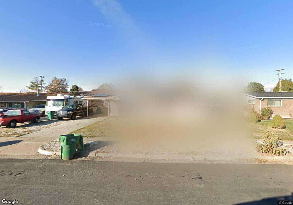
1604 Camelot Dr Layton, UT 84041
Estimated Value: $413,237 - $461,000
4
Beds
3
Baths
2,250
Sq Ft
$191/Sq Ft
Est. Value
About This Home
This home is located at 1604 Camelot Dr, Layton, UT 84041 and is currently estimated at $430,559, approximately $191 per square foot. 1604 Camelot Dr is a home located in Davis County with nearby schools including Vae View Elementary School, North Layton Junior High School, and Northridge High School.
Ownership History
Date
Name
Owned For
Owner Type
Purchase Details
Closed on
Aug 8, 2022
Sold by
Aaron Payne
Bought by
Poppell Carrie and Boothe Jessica
Current Estimated Value
Home Financials for this Owner
Home Financials are based on the most recent Mortgage that was taken out on this home.
Original Mortgage
$378,026
Outstanding Balance
$361,476
Interest Rate
5.7%
Mortgage Type
FHA
Estimated Equity
$69,083
Purchase Details
Closed on
Jan 2, 2020
Sold by
Meyer Allen W and Burningham Jeanle Renee
Bought by
Payne Aaron
Home Financials for this Owner
Home Financials are based on the most recent Mortgage that was taken out on this home.
Original Mortgage
$247,641
Interest Rate
3.6%
Mortgage Type
New Conventional
Create a Home Valuation Report for This Property
The Home Valuation Report is an in-depth analysis detailing your home's value as well as a comparison with similar homes in the area
Home Values in the Area
Average Home Value in this Area
Purchase History
| Date | Buyer | Sale Price | Title Company |
|---|---|---|---|
| Poppell Carrie | -- | Eagle Gate Title | |
| Payne Aaron | -- | Backman Title Se |
Source: Public Records
Mortgage History
| Date | Status | Borrower | Loan Amount |
|---|---|---|---|
| Open | Poppell Carrie | $378,026 | |
| Previous Owner | Payne Aaron | $247,641 |
Source: Public Records
Tax History
| Year | Tax Paid | Tax Assessment Tax Assessment Total Assessment is a certain percentage of the fair market value that is determined by local assessors to be the total taxable value of land and additions on the property. | Land | Improvement |
|---|---|---|---|---|
| 2025 | $2,028 | $212,850 | $101,837 | $111,013 |
| 2024 | $1,977 | $209,000 | $121,636 | $87,364 |
| 2023 | $1,915 | $357,000 | $159,807 | $197,193 |
| 2022 | $2,054 | $207,900 | $74,616 | $133,284 |
| 2021 | $1,934 | $292,000 | $105,694 | $186,306 |
| 2020 | $1,719 | $249,000 | $77,589 | $171,411 |
| 2019 | $1,579 | $224,000 | $74,607 | $149,393 |
| 2018 | $1,369 | $195,000 | $69,081 | $125,919 |
| 2016 | $1,191 | $87,505 | $19,953 | $67,552 |
| 2015 | $1,140 | $79,530 | $19,953 | $59,577 |
| 2014 | $1,259 | $89,790 | $19,953 | $69,837 |
| 2013 | -- | $73,950 | $18,612 | $55,338 |
Source: Public Records
Map
Nearby Homes
- 1648 W 1920 N
- 1883 W 1575 N
- 1858 W 1575 N Unit 240
- 1858 W 1575 N
- 1888 W 1575 N Unit 235
- 1888 W 1575 N
- 1748 N 1600 W
- 1498 W 1850 N
- 1740 N 1600 W Unit 116
- 1713 N 1625 W
- 1711 N 1625 W
- 1707 N 1625 W
- 1696 N 1600 W Unit 123
- 1650 N Main St
- 1650 N Main St Unit 126
- 1692 N 1600 W
- 1688 N 1600 W
- 1682 N 1600 W
- 1658 N 1600 St W
- 1744 Alfred Dr
Your Personal Tour Guide
Ask me questions while you tour the home.