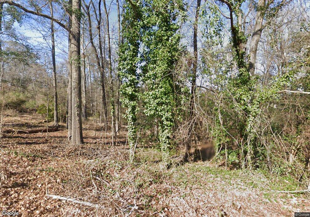
1604 Carl Rd Columbia, SC 29210
Saint Andrews NeighborhoodEstimated Value: $283,000
--
Bed
--
Bath
--
Sq Ft
1.14
Acres
About This Home
This home is located at 1604 Carl Rd, Columbia, SC 29210 and is currently estimated at $283,000. 1604 Carl Rd is a home located in Richland County with nearby schools including H. B. Rhame Elementary School, St. Andrews Middle School, and Columbia High School.
Ownership History
Date
Name
Owned For
Owner Type
Purchase Details
Closed on
Jul 13, 2017
Sold by
Mg Ik Plan Lifetimepropertysc Llc
Bought by
Mark Greene Llc
Current Estimated Value
Purchase Details
Closed on
Mar 7, 2016
Sold by
Adams David A
Bought by
Guilfoyle John
Purchase Details
Closed on
Oct 21, 2013
Sold by
Palmetto Citizens Federal Credit Union
Bought by
Codner Jerome A and Graham Carolyn S
Purchase Details
Closed on
Nov 4, 2008
Sold by
Hoy Gary Joseph
Bought by
Palmetto Citizens Federal Credit Union
Purchase Details
Closed on
Aug 16, 2005
Sold by
Greene Robert B
Bought by
Hoy Gary J
Home Financials for this Owner
Home Financials are based on the most recent Mortgage that was taken out on this home.
Original Mortgage
$52,500
Interest Rate
5.71%
Mortgage Type
Purchase Money Mortgage
Purchase Details
Closed on
Aug 30, 2004
Sold by
Jessel Mary E
Bought by
Greene Robert B
Create a Home Valuation Report for This Property
The Home Valuation Report is an in-depth analysis detailing your home's value as well as a comparison with similar homes in the area
Home Values in the Area
Average Home Value in this Area
Purchase History
| Date | Buyer | Sale Price | Title Company |
|---|---|---|---|
| Mark Greene Llc | -- | None Available | |
| Taylor Dennis | $13,000 | None Available | |
| Guilfoyle John | $600 | None Available | |
| Codner Jerome A | $3,500 | None Available | |
| Palmetto Citizens Federal Credit Union | $2,500 | -- | |
| Hoy Gary J | $70,000 | -- | |
| Greene Robert B | $7,000 | -- |
Source: Public Records
Mortgage History
| Date | Status | Borrower | Loan Amount |
|---|---|---|---|
| Previous Owner | Hoy Gary J | $52,500 |
Source: Public Records
Tax History Compared to Growth
Tax History
| Year | Tax Paid | Tax Assessment Tax Assessment Total Assessment is a certain percentage of the fair market value that is determined by local assessors to be the total taxable value of land and additions on the property. | Land | Improvement |
|---|---|---|---|---|
| 2024 | $173 | $6,700 | $6,700 | $0 |
| 2023 | $169 | $0 | $0 | $0 |
| 2022 | $156 | $5,800 | $5,800 | $0 |
| 2021 | $0 | $350 | $0 | $0 |
| 2020 | $158 | $350 | $0 | $0 |
| 2019 | $159 | $350 | $0 | $0 |
| 2018 | $138 | $300 | $0 | $0 |
| 2017 | $80 | $180 | $0 | $0 |
| 2016 | $79 | $180 | $0 | $0 |
| 2015 | $77 | $180 | $0 | $0 |
| 2014 | $76 | $3,000 | $0 | $0 |
| 2013 | -- | $180 | $0 | $0 |
Source: Public Records
Map
Nearby Homes
- 1820 Omarest Dr
- 1712 Omarest Dr
- 1650 Omarest Dr
- 201 Burbank St
- 214 River Bluff Way
- 321 Cambout St
- 232 Burbank St
- 105 River Bluff Ct
- 1913 Grays Inn Rd
- 1850 Atlantic Dr
- 1850 Atlantic Dr Unit 416
- 529 Cambout St
- 112 Gateway Ln
- 409 Huntley Way
- 1510 Canal Dr
- 1230 Greenville Cir
- 2103 Marley Dr
- 1904 Elise Dr
- 0 Marley Dr Unit 623584
- 1 Place