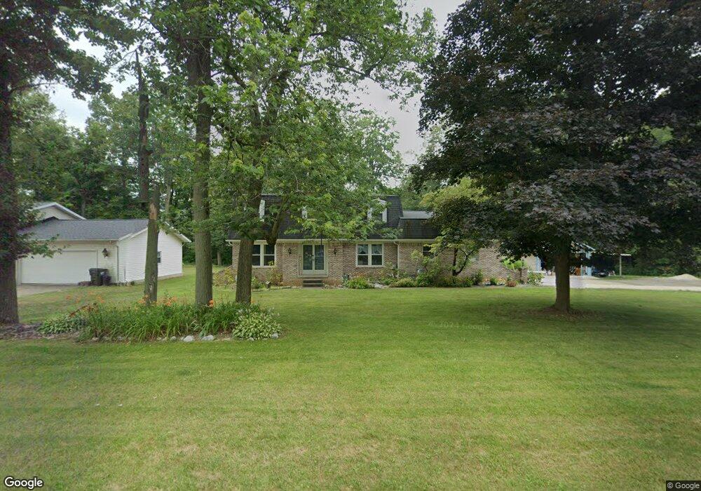
1604 Monter Ave Louisville, OH 44641
Estimated Value: $259,000 - $295,000
3
Beds
2
Baths
1,686
Sq Ft
$164/Sq Ft
Est. Value
About This Home
This home is located at 1604 Monter Ave, Louisville, OH 44641 and is currently estimated at $275,985, approximately $163 per square foot. 1604 Monter Ave is a home located in Stark County with nearby schools including Louisville High School and St. Thomas Aquinas High School & Middle School.
Ownership History
Date
Name
Owned For
Owner Type
Purchase Details
Closed on
Jul 31, 2003
Sold by
Marshall Renee and Marshall William
Bought by
Bargides Judy L
Current Estimated Value
Home Financials for this Owner
Home Financials are based on the most recent Mortgage that was taken out on this home.
Original Mortgage
$94,500
Interest Rate
6.4%
Mortgage Type
Purchase Money Mortgage
Create a Home Valuation Report for This Property
The Home Valuation Report is an in-depth analysis detailing your home's value as well as a comparison with similar homes in the area
Home Values in the Area
Average Home Value in this Area
Purchase History
| Date | Buyer | Sale Price | Title Company |
|---|---|---|---|
| Bargides Judy L | $94,500 | -- |
Source: Public Records
Mortgage History
| Date | Status | Borrower | Loan Amount |
|---|---|---|---|
| Previous Owner | Bargides Judy L | $94,500 |
Source: Public Records
Tax History Compared to Growth
Tax History
| Year | Tax Paid | Tax Assessment Tax Assessment Total Assessment is a certain percentage of the fair market value that is determined by local assessors to be the total taxable value of land and additions on the property. | Land | Improvement |
|---|---|---|---|---|
| 2025 | -- | $90,370 | $16,100 | $74,270 |
| 2024 | -- | $90,370 | $16,100 | $74,270 |
| 2023 | $2,789 | $63,420 | $15,190 | $48,230 |
| 2022 | $2,791 | $63,420 | $15,190 | $48,230 |
| 2021 | $2,799 | $63,420 | $15,190 | $48,230 |
| 2020 | $2,318 | $56,880 | $13,690 | $43,190 |
| 2019 | $2,330 | $57,340 | $13,690 | $43,650 |
| 2018 | $2,346 | $57,340 | $13,690 | $43,650 |
| 2017 | $1,961 | $46,240 | $12,010 | $34,230 |
| 2016 | $2,001 | $46,240 | $12,010 | $34,230 |
| 2015 | $2,007 | $46,240 | $12,010 | $34,230 |
| 2014 | $1,868 | $40,010 | $10,400 | $29,610 |
| 2013 | $938 | $40,010 | $10,400 | $29,610 |
Source: Public Records
Map
Nearby Homes
- 1715 High St
- 1812 E Broad St
- 641 S Nickelplate St
- 308 Superior St
- 0 Michigan Blvd
- 520 S Silver St
- 2015 E Main St
- 728 E Broad St
- 2110 Edmar St
- 325 Lincoln Ave
- 204 E Broad St
- 510 S Bauman Ct
- 107 E Broad St
- 1170 Winding Ridge Ave
- 908 Sand Lot Cir
- 910 Crosswyck Cir
- 3390 Meese Rd NE
- 428 Honeycrisp Dr NE
- 3047 Mcintosh Dr NE
- 432 Honeycrisp Dr NE
- 1614 Monter Ave
- 1540 Monter Ave
- 320 S Marion Ave
- 1626 Monter Ave
- 1530 Monter Ave
- 323 S Marion Ave
- 0 S Marion Ave Unit 4075814
- 0 S Marion Ave Unit 3768342
- 0 S Marion Ave
- 310 S Marion Ave
- 1625 Monter Ave
- 315 S Marion Ave
- 1620 E Broad St
- 1522 Monter Ave
- 1634 Monter Ave
- 1606 E Broad St
- 307 S Marion Ave
- 1525 Monter Ave
- 504 S Marion Ave
- 1637 Monter Ave