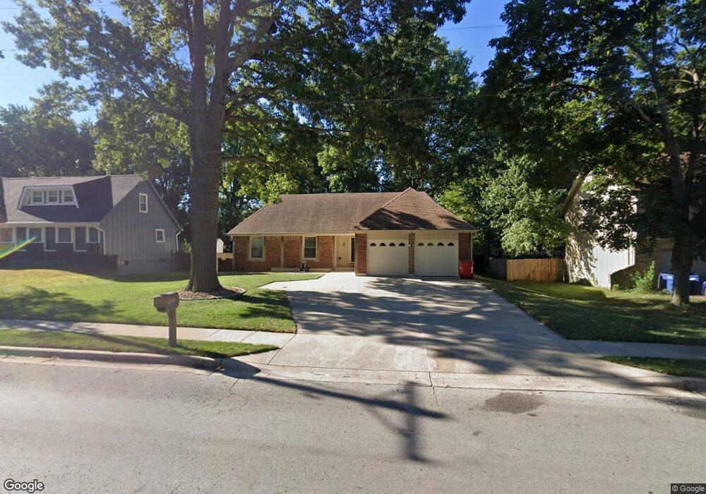
1604 NW Ashton Dr Blue Springs, MO 64015
Estimated Value: $281,000 - $297,533
3
Beds
2
Baths
1,459
Sq Ft
$199/Sq Ft
Est. Value
About This Home
This home is located at 1604 NW Ashton Dr, Blue Springs, MO 64015 and is currently estimated at $290,883, approximately $199 per square foot. 1604 NW Ashton Dr is a home located in Jackson County with nearby schools including Thomas J. Ultican Elementary School, Paul Kinder Middle School, and Blue Springs High School.
Ownership History
Date
Name
Owned For
Owner Type
Purchase Details
Closed on
Aug 24, 2022
Sold by
Garciga Julio C and Garciga Fany N
Bought by
Dejesus Chavez Walter
Current Estimated Value
Purchase Details
Closed on
Oct 29, 2021
Sold by
Jesus Dechavez Walter and Lo Dilsy
Bought by
Olam Communication Llc
Purchase Details
Closed on
Aug 3, 2021
Sold by
Smith Brian K and Smith Margo L
Bought by
Smith Brian K and Smith Margo L
Purchase Details
Closed on
Aug 23, 2011
Sold by
Onewest Bank Fsb
Bought by
Federal National Mortgage Association
Purchase Details
Closed on
Nov 26, 2003
Sold by
Fischer Steve and Fischer Kristin M
Bought by
10205 S Munro Land Trust
Create a Home Valuation Report for This Property
The Home Valuation Report is an in-depth analysis detailing your home's value as well as a comparison with similar homes in the area
Home Values in the Area
Average Home Value in this Area
Purchase History
| Date | Buyer | Sale Price | Title Company |
|---|---|---|---|
| Dejesus Chavez Walter | -- | Stewart Title Company | |
| Olam Communication Llc | -- | Stewart Title | |
| Smith Brian K | -- | None Available | |
| Federal National Mortgage Association | -- | None Available | |
| 10205 S Munro Land Trust | -- | -- |
Source: Public Records
Tax History Compared to Growth
Tax History
| Year | Tax Paid | Tax Assessment Tax Assessment Total Assessment is a certain percentage of the fair market value that is determined by local assessors to be the total taxable value of land and additions on the property. | Land | Improvement |
|---|---|---|---|---|
| 2025 | $3,734 | $45,480 | $6,249 | $39,231 |
| 2024 | $3,662 | $45,771 | $6,494 | $39,277 |
| 2023 | $3,662 | $45,771 | $5,605 | $40,166 |
| 2022 | $3,114 | $34,390 | $5,396 | $28,994 |
| 2021 | $3,111 | $34,390 | $5,396 | $28,994 |
| 2020 | $2,777 | $31,224 | $5,396 | $25,828 |
| 2019 | $2,684 | $31,224 | $5,396 | $25,828 |
| 2018 | $2,425 | $27,149 | $2,978 | $24,171 |
| 2017 | $2,425 | $27,149 | $2,978 | $24,171 |
| 2016 | $2,412 | $27,075 | $2,945 | $24,130 |
| 2014 | $2,334 | $26,111 | $2,935 | $23,176 |
Source: Public Records
Map
Nearby Homes
- 1109 NW Mock Ave
- 503 NW 15th St
- 1109 NW B St
- 305 NW 17th St
- 1389 NW Jefferson Ct
- 2317 NW Kensington Ct
- 804 NW Maynard St
- 2508 NW Castle Dr
- 1400 NW Deer Run Trail
- 913 NW Camelot Ct
- 1513 NW Weatherstone Ct
- 1601 NW Weatherstone Ct
- 804 NW North Summit Cir
- 1504 NW Weatherstone Dr
- 813 NW North Ridge Ct
- 2000 SW Smith St
- 1705 SW Walnut St
- 2804 NW Kingsridge Dr
- 723 NW 6th Street Terrace
- 516 NW Mill Ct
- 1608 NW Ashton Dr
- 1600 NW Ashton Dr
- 1612 NW Ashton Dr
- 1512 NW Ashton Dr
- 823 NW 16th St
- 821 NW 17th St
- 819 NW 16th St
- 1700 NW Ashton Dr
- 824 NW 16th St
- 816 NW 17th St
- 1617 NW Ashton Dr
- 817 NW 17th St
- 815 NW 16th St
- 1704 NW Ashton Dr
- 820 NW 16th St
- 812 NW 17th St
- 815 NW 17th St
- 1504 NW Ashton Dr
- 1601 NW Willowbrook Dr
- 816 NW 16th St