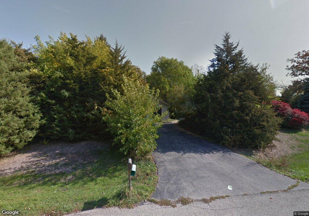
1604 Polaris Rd Spring Grove, IL 60081
Estimated Value: $327,000 - $480,000
--
Bed
--
Bath
1,708
Sq Ft
$220/Sq Ft
Est. Value
About This Home
This home is located at 1604 Polaris Rd, Spring Grove, IL 60081 and is currently estimated at $375,941, approximately $220 per square foot. 1604 Polaris Rd is a home located in McHenry County with nearby schools including Richmond Grade School, Nippersink Middle School, and Richmond-Burton High School.
Ownership History
Date
Name
Owned For
Owner Type
Purchase Details
Closed on
Dec 5, 2003
Sold by
Brown Harold A and Brown Tamara L
Bought by
Groenland Kevin and Groenland Karalyn
Current Estimated Value
Home Financials for this Owner
Home Financials are based on the most recent Mortgage that was taken out on this home.
Original Mortgage
$182,243
Outstanding Balance
$85,332
Interest Rate
6.03%
Mortgage Type
FHA
Estimated Equity
$290,609
Purchase Details
Closed on
Oct 4, 2002
Sold by
Brown Harold A
Bought by
Brown Harold A and Brown Tamara L
Purchase Details
Closed on
Mar 31, 1999
Sold by
Nielsen Theodore J
Bought by
Brown Harold A
Home Financials for this Owner
Home Financials are based on the most recent Mortgage that was taken out on this home.
Original Mortgage
$101,150
Interest Rate
7.17%
Mortgage Type
Purchase Money Mortgage
Create a Home Valuation Report for This Property
The Home Valuation Report is an in-depth analysis detailing your home's value as well as a comparison with similar homes in the area
Home Values in the Area
Average Home Value in this Area
Purchase History
| Date | Buyer | Sale Price | Title Company |
|---|---|---|---|
| Groenland Kevin | $189,000 | Multiple | |
| Brown Harold A | -- | -- | |
| Brown Harold A | $119,000 | Attorneys Title Guaranty Fun |
Source: Public Records
Mortgage History
| Date | Status | Borrower | Loan Amount |
|---|---|---|---|
| Open | Groenland Kevin | $182,243 | |
| Previous Owner | Brown Harold A | $101,150 |
Source: Public Records
Tax History Compared to Growth
Tax History
| Year | Tax Paid | Tax Assessment Tax Assessment Total Assessment is a certain percentage of the fair market value that is determined by local assessors to be the total taxable value of land and additions on the property. | Land | Improvement |
|---|---|---|---|---|
| 2024 | $5,586 | $85,724 | $17,179 | $68,545 |
| 2023 | $5,398 | $78,130 | $16,030 | $62,100 |
| 2022 | $5,120 | $68,728 | $14,101 | $54,627 |
| 2021 | $4,854 | $64,789 | $13,293 | $51,496 |
| 2020 | $4,737 | $61,934 | $12,707 | $49,227 |
| 2019 | $4,769 | $60,970 | $12,509 | $48,461 |
| 2018 | $4,866 | $59,085 | $12,122 | $46,963 |
| 2017 | $4,842 | $56,032 | $14,427 | $41,605 |
| 2016 | $4,855 | $53,512 | $13,778 | $39,734 |
| 2013 | -- | $56,163 | $14,687 | $41,476 |
Source: Public Records
Map
Nearby Homes
- 11111 Huron Dr
- 11013 Serenity Path
- 11101 Serenity Path
- 2303 Fox Bluff Ln
- 10201 Fox Bluff Ln
- 1914 Spring Dale Dr
- Lt1 Majestic Way W
- 11808 336th Ave
- 9436 Bellaire Ln
- Lot 16 Harding
- Lot 17 & 18 Harding Ave
- 8789 Bentley Ln
- 2044 Matthew Ave
- 2611 E Lake Shore Dr
- 11505 Lakeview Rd
- 3159 E Lakeshore Dr
- 2020 E Lake Shore Dr
- 31700 118th St
- 8610 Steeple Ln
- 42720 N Converse Rd
- 1610 Polaris Rd
- 1516 Polaris Rd
- 1603 Polaris Rd
- 10802 Breezy Lawn Rd
- 1618 Polaris Rd
- 10800 Breezy Lawn Rd
- 10715 Michigan Dr
- 10804 Breezy Lawn Rd
- 10801 Michigan Dr
- 10716 Breezy Lawn Rd
- 10811 Breezy Lawn Rd
- 10808 Breezy Lawn Rd
- 10710 Michigan Dr
- 10707 Michigan Dr
- 10815 Huron Dr
- 10813 Breezy Lawn Rd
- 10909 Huron Dr
- 10905 Huron Dr
- 10802 Michigan Dr
- 10917 Huron Dr