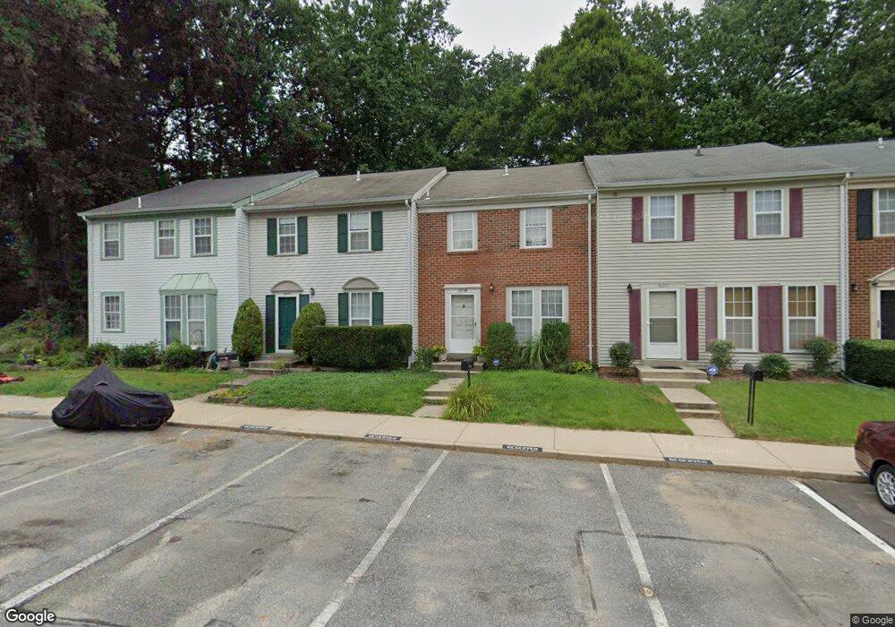
16043 Dorset Rd Laurel, MD 20707
Estimated Value: $316,879 - $390,000
--
Bed
--
Bath
1,890
Sq Ft
$189/Sq Ft
Est. Value
About This Home
This home is located at 16043 Dorset Rd, Laurel, MD 20707 and is currently estimated at $357,470, approximately $189 per square foot. 16043 Dorset Rd is a home located in Prince George's County with nearby schools including Scotchtown Hills Elementary School, Laurel High School, and Christian Academy of Laurel.
Ownership History
Date
Name
Owned For
Owner Type
Purchase Details
Closed on
Sep 16, 2023
Sold by
Packett Charles E
Bought by
Packett Alexander Eli and Packett Nicholas Elliott
Current Estimated Value
Purchase Details
Closed on
Dec 21, 2004
Sold by
Packett Charles E
Bought by
Packett Charles E and Packett Rebecca J
Purchase Details
Closed on
Mar 16, 1979
Sold by
Millbrook Assoc Ii
Bought by
Packett Charles E
Create a Home Valuation Report for This Property
The Home Valuation Report is an in-depth analysis detailing your home's value as well as a comparison with similar homes in the area
Home Values in the Area
Average Home Value in this Area
Purchase History
| Date | Buyer | Sale Price | Title Company |
|---|---|---|---|
| Packett Alexander Eli | -- | None Listed On Document | |
| Packett Alexander Eli | -- | None Listed On Document | |
| Packett Charles E | -- | -- | |
| Packett Charles E | $52,500 | -- |
Source: Public Records
Tax History Compared to Growth
Tax History
| Year | Tax Paid | Tax Assessment Tax Assessment Total Assessment is a certain percentage of the fair market value that is determined by local assessors to be the total taxable value of land and additions on the property. | Land | Improvement |
|---|---|---|---|---|
| 2025 | $4,432 | $274,000 | $82,200 | $191,800 |
| 2024 | $4,432 | $237,667 | $0 | $0 |
| 2023 | $3,320 | $201,333 | $0 | $0 |
| 2022 | $2,721 | $165,000 | $49,500 | $115,500 |
| 2021 | $3,051 | $162,000 | $0 | $0 |
| 2020 | $2,922 | $159,000 | $0 | $0 |
| 2019 | $3,056 | $156,000 | $46,800 | $109,200 |
| 2018 | $2,858 | $155,000 | $0 | $0 |
| 2017 | $2,845 | $154,000 | $0 | $0 |
| 2016 | -- | $153,000 | $0 | $0 |
| 2015 | $3,735 | $153,000 | $0 | $0 |
| 2014 | $3,735 | $153,000 | $0 | $0 |
Source: Public Records
Map
Nearby Homes
- 7709 Brooklyn Bridge Rd
- 7619 Woodbine Dr
- 7616 Woodbine Dr
- 7323 Split Rail Ln
- 15708 Dorset Rd Unit 203
- 15708 Dorset Rd Unit 304
- 7105 Split Rail Ln
- 15603 Dorset Rd Unit 101
- 15712 Dorset Rd Unit T3
- 1210 Westview Terrace
- 7419 Berryleaf Dr
- 16140 Kenny Rd
- 15443 Arbory Way
- 1106 Snowden Place
- 211 Patuxent Rd
- 7403 Berryleaf Dr
- 1103 Montgomery St
- Dorchester IV Plan at Cole's Manor
- Tidewater Plan at Cole's Manor
- Stratton Plan at Cole's Manor
- 16045 Dorset Rd
- 16041 Dorset Rd
- 16047 Dorset Rd Unit 153
- 16039 Dorset Rd
- 16037 Dorset Rd
- 16035 Dorset Rd
- 16033 Dorset Rd
- 16049 Dorset Rd Unit 152
- 16051 Dorset Rd
- 16053 Dorset Rd
- 16055 Dorset Rd
- 16031 Dorset Rd
- 16001 Dorset Rd
- 16021 Dorset Rd
- 16019 Dorset Rd
- 16017 Dorset Rd
- 16057 Dorset Rd
- 16029 Dorset Rd
- 16003 Dorset Rd
- 16015 Dorset Rd