1605 87th St Balsam Lake, WI 54810
Estimated Value: $310,000 - $582,000
3
Beds
2
Baths
1,580
Sq Ft
$280/Sq Ft
Est. Value
About This Home
This home is located at 1605 87th St, Balsam Lake, WI 54810 and is currently estimated at $442,170, approximately $279 per square foot. 1605 87th St is a home located in Polk County with nearby schools including Lien Elementary School, Amery Intermediate School, and Amery Middle School.
Ownership History
Date
Name
Owned For
Owner Type
Purchase Details
Closed on
Jul 13, 2017
Sold by
Olson Michelle M and Olson Michael A
Bought by
Livingston Nicholas and Livingston Jessica
Current Estimated Value
Home Financials for this Owner
Home Financials are based on the most recent Mortgage that was taken out on this home.
Original Mortgage
$160,115
Outstanding Balance
$133,065
Interest Rate
3.9%
Mortgage Type
VA
Estimated Equity
$309,105
Purchase Details
Closed on
Oct 11, 2007
Sold by
Balo Ben G
Bought by
Wilkins Michelle M
Create a Home Valuation Report for This Property
The Home Valuation Report is an in-depth analysis detailing your home's value as well as a comparison with similar homes in the area
Home Values in the Area
Average Home Value in this Area
Purchase History
| Date | Buyer | Sale Price | Title Company |
|---|---|---|---|
| Livingston Nicholas | $155,000 | Knight Barry Title | |
| Wilkins Michelle M | $144,000 | -- |
Source: Public Records
Mortgage History
| Date | Status | Borrower | Loan Amount |
|---|---|---|---|
| Open | Livingston Nicholas | $160,115 |
Source: Public Records
Tax History Compared to Growth
Tax History
| Year | Tax Paid | Tax Assessment Tax Assessment Total Assessment is a certain percentage of the fair market value that is determined by local assessors to be the total taxable value of land and additions on the property. | Land | Improvement |
|---|---|---|---|---|
| 2024 | $4,665 | $355,400 | $46,000 | $309,400 |
| 2023 | $4,127 | $355,400 | $46,000 | $309,400 |
| 2022 | $4,166 | $355,400 | $46,000 | $309,400 |
| 2021 | $2,235 | $137,300 | $27,500 | $109,800 |
| 2020 | $2,013 | $137,300 | $27,500 | $109,800 |
| 2019 | $2,204 | $137,300 | $27,500 | $109,800 |
| 2018 | $2,614 | $137,300 | $27,500 | $109,800 |
| 2017 | $2,332 | $137,300 | $27,500 | $109,800 |
| 2016 | $2,185 | $137,300 | $27,500 | $109,800 |
| 2015 | $2,158 | $137,300 | $27,500 | $109,800 |
| 2013 | $2,395 | $137,300 | $27,500 | $109,800 |
| 2012 | $2,334 | $137,300 | $27,500 | $109,800 |
Source: Public Records
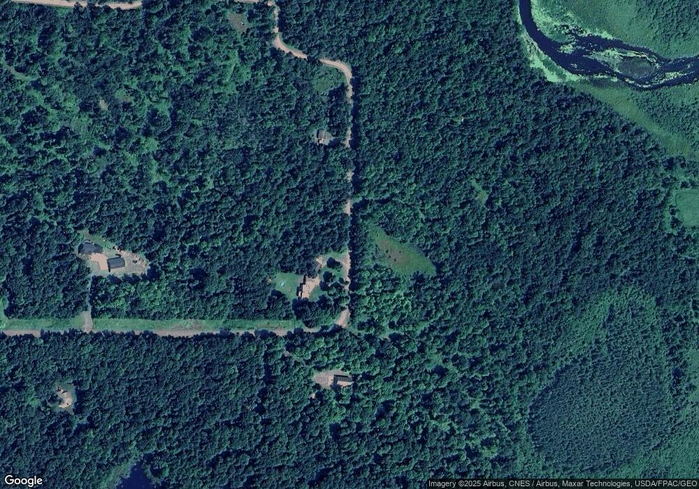
Map
Nearby Homes
- 1605 S White Ash Ln
- 1728 W White Ash Dr
- 1737 E White Ash Ln
- XX 140th Ave
- 998 140th Ave
- 1348 70th St
- Xx 70th Ave
- 00 70th St
- xxx 150th Ave
- Xxx 74th St
- XXX 74th St
- 1167 134th Ave
- 1911 W Bone Lake Dr
- 609 Us Highway 8
- 562 138th Ave
- tbd 170th Ave
- 2029 Richardson Ct
- 1292 148th Ave
- 2063 Bystrom Ln
- 545 US Highway 8
- Lot 112 162nd Ave
- 885 162nd Ave
- 1617 87th St
- 0 164th Ave Unit 4623810
- xxx 162nd Ave
- Lot 111 162nd Ave
- 891 162nd Ave
- 892 162nd Ave
- 873 164th Ave
- 1630 90th St
- 899 162nd Ave
- xxx 90th St
- 844 165th Ave
- 0 155th Ave Unit 4426970
- 0 155th Ave Unit 871373
- 1591 90th St
- xxx 90th and 165th St
- Lot B 90th St
- 1579 90th St
- 860 165th Ave