Estimated Value: $239,000
--
Bed
--
Bath
1,500
Sq Ft
$159/Sq Ft
Est. Value
About This Home
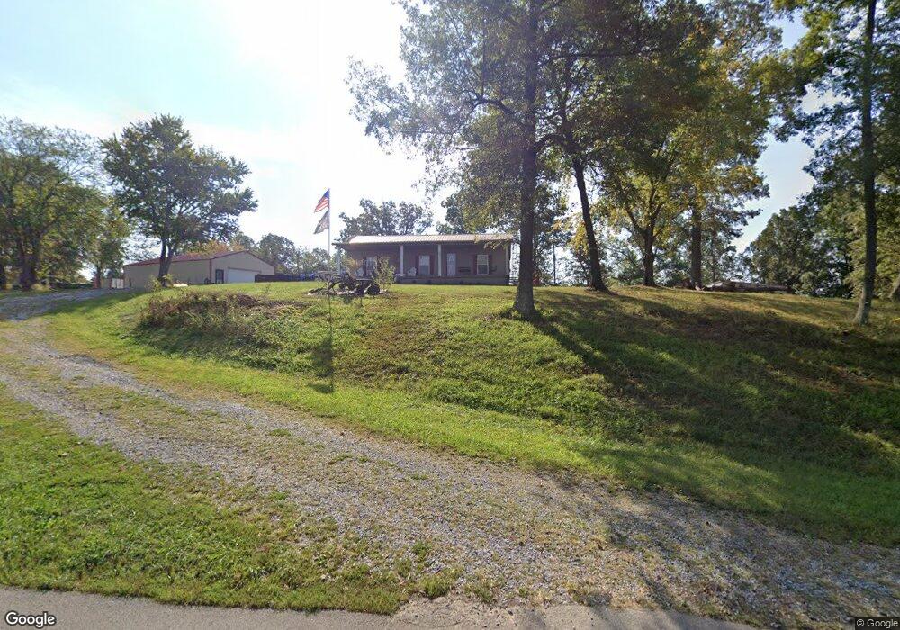
This home is located at 1605 Airline Rd, Clay, KY 42404 and is currently estimated at $239,000, approximately $159 per square foot. 1605 Airline Rd is a home located in Webster County with nearby schools including Webster County High School.
Ownership History
Date
Name
Owned For
Owner Type
Purchase Details
Closed on
Apr 26, 2005
Sold by
Baker Alan L and Baker Betty J
Bought by
Hite James Martin
Current Estimated Value
Create a Home Valuation Report for This Property
The Home Valuation Report is an in-depth analysis detailing your home's value as well as a comparison with similar homes in the area
Home Values in the Area
Average Home Value in this Area
Purchase History
| Date | Buyer | Sale Price | Title Company |
|---|---|---|---|
| Hite James Martin | -- | -- |
Source: Public Records
Tax History Compared to Growth
Tax History
| Year | Tax Paid | Tax Assessment Tax Assessment Total Assessment is a certain percentage of the fair market value that is determined by local assessors to be the total taxable value of land and additions on the property. | Land | Improvement |
|---|---|---|---|---|
| 2024 | $1,337 | $210,400 | $0 | $0 |
| 2023 | $1,199 | $173,500 | $0 | $0 |
| 2022 | $1,203 | $173,500 | $0 | $0 |
| 2021 | $1,222 | $173,500 | $0 | $0 |
| 2020 | $1,241 | $173,500 | $0 | $0 |
| 2019 | $1,104 | $139,400 | $0 | $0 |
| 2018 | $1,101 | $96,750 | $0 | $0 |
| 2017 | $1,071 | $96,750 | $0 | $0 |
| 2016 | $1,027 | $96,750 | $0 | $0 |
| 2015 | -- | $88,850 | $0 | $0 |
| 2012 | -- | $88,850 | $0 | $0 |
Source: Public Records
Map
Nearby Homes
- 2440 State Route 2153
- 2440 Hwy 2153 Unit Morganfield
- 167 Boxville Rd
- 3535 State Route 2837
- 0 Little Zion-Tilden Rd
- 68 Nelson St
- 19 Russell St
- 154 Taylor St
- 8618 State Route 132 W
- 86 Taylor St
- 329 W Railroad St
- 222 Broady Ct
- 0 Sullivan Rd Unit LotWP001
- 539 Ben Dyer Rd
- 4592 N Us Hwy 41 A
- 5299 U S 41 Alternate
- 1581 Sr 56 E
- 1401 N Monroe St
- 4592 U S 41 Alternate
- 1309 N Adams St