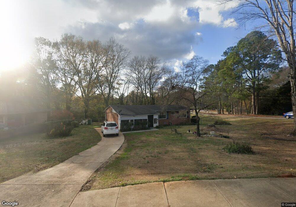
1605 Austin Dr Unit 1 Decatur, GA 30032
Estimated Value: $198,610 - $242,000
3
Beds
2
Baths
1,255
Sq Ft
$177/Sq Ft
Est. Value
About This Home
This home is located at 1605 Austin Dr Unit 1, Decatur, GA 30032 and is currently estimated at $222,403, approximately $177 per square foot. 1605 Austin Dr Unit 1 is a home located in DeKalb County with nearby schools including Snapfinger Elementary School, Columbia Middle School, and Columbia High School.
Ownership History
Date
Name
Owned For
Owner Type
Purchase Details
Closed on
Jun 4, 2002
Sold by
Mcdonald Leslie G
Bought by
Kidd Annie R
Current Estimated Value
Home Financials for this Owner
Home Financials are based on the most recent Mortgage that was taken out on this home.
Original Mortgage
$117,198
Outstanding Balance
$49,210
Interest Rate
6.85%
Mortgage Type
VA
Estimated Equity
$173,193
Purchase Details
Closed on
Dec 5, 2000
Sold by
Johnson Keith V and Johnson Vicki W
Bought by
Mcdonald Leslie G
Home Financials for this Owner
Home Financials are based on the most recent Mortgage that was taken out on this home.
Original Mortgage
$88,450
Interest Rate
7.71%
Mortgage Type
FHA
Create a Home Valuation Report for This Property
The Home Valuation Report is an in-depth analysis detailing your home's value as well as a comparison with similar homes in the area
Home Values in the Area
Average Home Value in this Area
Purchase History
| Date | Buyer | Sale Price | Title Company |
|---|---|---|---|
| Kidd Annie R | $114,900 | -- | |
| Mcdonald Leslie G | $89,700 | -- |
Source: Public Records
Mortgage History
| Date | Status | Borrower | Loan Amount |
|---|---|---|---|
| Open | Kidd Annie R | $117,198 | |
| Previous Owner | Mcdonald Leslie G | $88,450 |
Source: Public Records
Tax History Compared to Growth
Tax History
| Year | Tax Paid | Tax Assessment Tax Assessment Total Assessment is a certain percentage of the fair market value that is determined by local assessors to be the total taxable value of land and additions on the property. | Land | Improvement |
|---|---|---|---|---|
| 2025 | $2,285 | $84,680 | $52,000 | $32,680 |
| 2024 | $1,944 | $68,320 | $52,000 | $16,320 |
| 2023 | $1,944 | $64,760 | $31,720 | $33,040 |
| 2022 | $1,510 | $53,280 | $16,000 | $37,280 |
| 2021 | $1,440 | $50,240 | $16,000 | $34,240 |
| 2020 | $1,336 | $45,560 | $16,000 | $29,560 |
| 2019 | $1,250 | $42,200 | $16,000 | $26,200 |
| 2018 | $768 | $32,160 | $4,080 | $28,080 |
| 2017 | $784 | $24,720 | $4,080 | $20,640 |
| 2016 | $589 | $19,560 | $4,080 | $15,480 |
| 2014 | $393 | $13,600 | $4,080 | $9,520 |
Source: Public Records
Map
Nearby Homes
- 3842 Brookcrest Cir
- 1674 Freedom Valley
- 1669 Freedom Valley
- 4045 Fireoak Dr
- 1688 Danrich Dr
- 1701 Corey Blvd
- 1729 W Austin Rd
- 1467 Thompson Place
- 1603 Hollyhock Terrace
- 1447 Austin Dr
- 1653 Vernon Blvd
- 1581 Hollyhock Terrace
- 3651 Tulip Dr
- 3625 Aldea Dr
- 3738 Larkspur Terrace
- 3711 Daisy Dr
- 3693 Aldea Dr
- 3682 Daisy Dr
- 3705 Daisy Dr
- 1788 Danrich Dr
- 1613 Austin Dr Unit 1
- 1619 Austin Dr
- 3831 Brookcrest Cir
- 1589 Austin Dr
- 1625 Austin Dr
- 3857 Brookcrest Cir
- 3825 Brookcrest Cir
- 3953 Fireoak Dr Unit 87
- 3953 Fireoak Dr
- 1581 Austin Dr
- 3951 Fireoak Dr Unit 88
- 3951 Fireoak Dr
- 3949 Fireoak Dr
- 1631 Austin Dr
- 1631 Austin Dr Unit 1631
- 3947 Fireoak Dr
- 3965 Fireoak Dr
- 3965 Fireoak Dr Unit 3965
- 3945 Fireoak Dr Unit 91
- 3945 Fireoak Dr Unit 3045