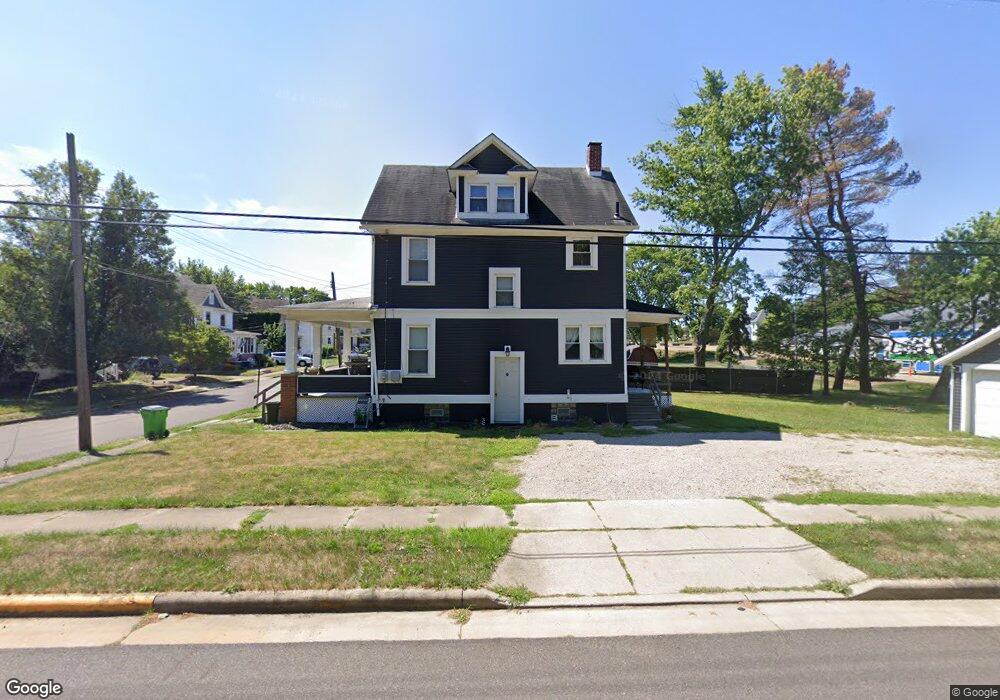
1605 Burt Ave Alliance, OH 44601
Estimated Value: $85,000 - $106,404
3
Beds
1
Bath
1,430
Sq Ft
$66/Sq Ft
Est. Value
About This Home
This home is located at 1605 Burt Ave, Alliance, OH 44601 and is currently estimated at $94,601, approximately $66 per square foot. 1605 Burt Ave is a home located in Stark County with nearby schools including Alliance Elementary School at Rockhill, Alliance Intermediate School at Northside, and Alliance Middle School.
Ownership History
Date
Name
Owned For
Owner Type
Purchase Details
Closed on
Apr 21, 2004
Sold by
Whaley Dennis D
Bought by
Whaley Dennis D and Whaley Tracy L
Current Estimated Value
Purchase Details
Closed on
Mar 18, 2004
Sold by
Dalesandro Jean M and Dalesandro Dominic J
Bought by
Whaley Dennis D
Purchase Details
Closed on
Feb 12, 2004
Sold by
Estate Of Fred Scott Kayler
Bought by
Dalesandro Jean M
Purchase Details
Closed on
Sep 9, 1997
Sold by
Brady Susan M
Bought by
Kayler Fred S
Purchase Details
Closed on
Nov 12, 1993
Create a Home Valuation Report for This Property
The Home Valuation Report is an in-depth analysis detailing your home's value as well as a comparison with similar homes in the area
Home Values in the Area
Average Home Value in this Area
Purchase History
| Date | Buyer | Sale Price | Title Company |
|---|---|---|---|
| Whaley Dennis D | -- | Ata | |
| Whaley Dennis D | $39,000 | -- | |
| Dalesandro Jean M | -- | -- | |
| Kayler Fred S | $36,000 | -- | |
| -- | $27,000 | -- |
Source: Public Records
Tax History
| Year | Tax Paid | Tax Assessment Tax Assessment Total Assessment is a certain percentage of the fair market value that is determined by local assessors to be the total taxable value of land and additions on the property. | Land | Improvement |
|---|---|---|---|---|
| 2025 | -- | $22,690 | $7,180 | $15,510 |
| 2024 | -- | $22,690 | $7,180 | $15,510 |
| 2023 | $713 | $17,330 | $4,830 | $12,500 |
| 2022 | $718 | $17,330 | $4,830 | $12,500 |
| 2021 | $720 | $17,330 | $4,830 | $12,500 |
| 2020 | $649 | $14,600 | $4,200 | $10,400 |
| 2019 | $439 | $10,020 | $4,200 | $5,820 |
Source: Public Records
Map
Nearby Homes
- 233 Shadyside Ct
- 1350 S Freedom Ave
- 1823 S Seneca Ave
- 2041 Watson Ave
- 1608 S Liberty Ave
- 167 11th St
- 152 E Mill St
- 134 11th St
- 834 Devine St
- 226 Milner St
- 231 Rosenberry St
- 234 Rosenberry St
- 46 Rosenberry St
- 1522 Wade Ave
- 2372 S Union Ave
- 2405 Cherry Ave
- 2406 S Union Ave
- 2408 S Linden Ave
- 807 S Union Ave
- 203 Glamorgan St
Your Personal Tour Guide
Ask me questions while you tour the home.