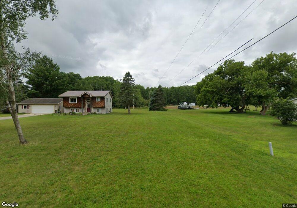
1605 Catherine St Big Rapids, MI 49307
Estimated Value: $189,657 - $234,000
2
Beds
1
Bath
1,272
Sq Ft
$167/Sq Ft
Est. Value
About This Home
This home is located at 1605 Catherine St, Big Rapids, MI 49307 and is currently estimated at $211,829, approximately $166 per square foot. 1605 Catherine St is a home located in Mecosta County with nearby schools including Big Rapids High School, Crossroads Charter Academy Elementary School, and Crossroads Charter Academy Middle/High School.
Ownership History
Date
Name
Owned For
Owner Type
Purchase Details
Closed on
Apr 26, 2016
Sold by
Hinsley Cheryl A and Estate Of Frank Arthur Starr
Bought by
Starr Steven
Current Estimated Value
Purchase Details
Closed on
Dec 2, 2005
Sold by
Starr Frank A
Bought by
Starr Frank A and Starr Conni
Home Financials for this Owner
Home Financials are based on the most recent Mortgage that was taken out on this home.
Original Mortgage
$59,800
Interest Rate
6.99%
Mortgage Type
New Conventional
Create a Home Valuation Report for This Property
The Home Valuation Report is an in-depth analysis detailing your home's value as well as a comparison with similar homes in the area
Home Values in the Area
Average Home Value in this Area
Purchase History
| Date | Buyer | Sale Price | Title Company |
|---|---|---|---|
| Starr Steven | -- | Attorney | |
| Starr Frank A | -- | None Available |
Source: Public Records
Mortgage History
| Date | Status | Borrower | Loan Amount |
|---|---|---|---|
| Previous Owner | Starr Frank A | $59,800 |
Source: Public Records
Tax History Compared to Growth
Tax History
| Year | Tax Paid | Tax Assessment Tax Assessment Total Assessment is a certain percentage of the fair market value that is determined by local assessors to be the total taxable value of land and additions on the property. | Land | Improvement |
|---|---|---|---|---|
| 2025 | $1,810 | $68,300 | $0 | $0 |
| 2024 | -- | $65,500 | $0 | $0 |
| 2023 | -- | $59,600 | $0 | $0 |
| 2022 | $1,781 | $54,000 | $0 | $0 |
| 2021 | $745 | $50,000 | $0 | $0 |
| 2020 | $745 | $49,200 | $0 | $0 |
| 2019 | -- | -- | $0 | $0 |
| 2018 | -- | -- | $0 | $0 |
| 2017 | -- | -- | $0 | $0 |
| 2016 | -- | -- | $0 | $0 |
| 2014 | -- | -- | $0 | $0 |
| 2013 | -- | -- | $0 | $0 |
Source: Public Records
Map
Nearby Homes
- 1405 Bjornson St
- 1108 Platt Ave
- 1008 Henderson St
- 20405 Mack Dr
- 919 Bjornson St
- 20461 Spruce Rd
- 226 Baldwin St
- 817 N 4th Ave
- 722 Tioga Park Dr Unit 722
- 734 Unit 734 Tioga Park
- 709 Tioga Park Dr
- 717 Tioga Park Dr Unit 717
- 713 Tioga Park Dr
- 20770 Ross Pkwy
- 818 N State St
- 18075 Shamrock Blvd
- 20825 Emerald Ln
- 118 E Grand Traverse St
- 521 N Michigan Ave
- 18336 Saint Joseph Ave Unit 222
- 1601 Catherine St
- 1611 Catherine St
- 1615 Catherine St
- 1619 Catherine St
- 1512 Catherine St
- 1516 Catherine St
- 17653 195th Ave
- 1480 Catherine St
- 19560 195th Ave
- 0 195th Ave
- 17781 195th Ave
- 17631 197th Ave
- 01 195th Ave
- 1491 Catherine St
- 17545 195th Ave
- 1435 Catherine St
- 17510 197th Ave
- 17570 197th Ave
- 17600 197th Ave
- 17650 197th Ave