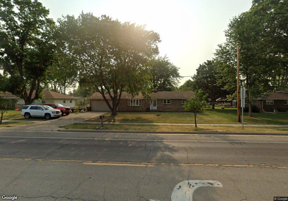
1605 N Main St Canton, IL 61520
Estimated Value: $135,012 - $178,000
--
Bed
--
Bath
1,512
Sq Ft
$108/Sq Ft
Est. Value
About This Home
This home is located at 1605 N Main St, Canton, IL 61520 and is currently estimated at $163,753, approximately $108 per square foot. 1605 N Main St is a home located in Fulton County with nearby schools including Canton High School and Calvary Baptist Academy.
Ownership History
Date
Name
Owned For
Owner Type
Purchase Details
Closed on
Nov 3, 2015
Sold by
Neff Ronald E
Bought by
Black John
Current Estimated Value
Home Financials for this Owner
Home Financials are based on the most recent Mortgage that was taken out on this home.
Original Mortgage
$51,000
Outstanding Balance
$20,535
Interest Rate
3.37%
Mortgage Type
New Conventional
Estimated Equity
$143,218
Create a Home Valuation Report for This Property
The Home Valuation Report is an in-depth analysis detailing your home's value as well as a comparison with similar homes in the area
Home Values in the Area
Average Home Value in this Area
Purchase History
| Date | Buyer | Sale Price | Title Company |
|---|---|---|---|
| Black John | $83,000 | Attorney Only |
Source: Public Records
Mortgage History
| Date | Status | Borrower | Loan Amount |
|---|---|---|---|
| Open | Black John | $51,000 |
Source: Public Records
Tax History Compared to Growth
Tax History
| Year | Tax Paid | Tax Assessment Tax Assessment Total Assessment is a certain percentage of the fair market value that is determined by local assessors to be the total taxable value of land and additions on the property. | Land | Improvement |
|---|---|---|---|---|
| 2024 | $3,270 | $38,270 | $6,640 | $31,630 |
| 2023 | $3,270 | $36,620 | $6,350 | $30,270 |
| 2022 | $3,058 | $36,620 | $6,350 | $30,270 |
| 2021 | $3,058 | $35,200 | $6,100 | $29,100 |
| 2020 | $2,883 | $33,700 | $5,840 | $27,860 |
| 2019 | $2,506 | $31,040 | $5,930 | $25,110 |
| 2018 | $2,429 | $30,450 | $5,820 | $24,630 |
| 2017 | $3,017 | $30,450 | $5,820 | $24,630 |
| 2016 | $2,452 | $30,000 | $5,730 | $24,270 |
| 2015 | $1,546 | $46,800 | $5,520 | $41,280 |
| 2013 | -- | $45,610 | $5,380 | $40,230 |
| 2012 | -- | $44,070 | $5,200 | $38,870 |
Source: Public Records
Map
Nearby Homes
- 11 Lincoln Rd
- 62 Redwood Cir
- 40 W Lakeland Park Dr
- 1370 WillemMcO Ct
- 214 Palm St
- 23 Magrabl Dr
- 840 Ravine Ct
- 205 N Sycamore Terrace
- 7 Marlee Dr
- 945 N 5th Ave
- 782 N Avenue B
- 334 W Birch St
- 966 N 7th Ave
- 737 N 5th Ave
- 238 W Vine St
- 510 W Myrtle St
- 226 Cass Place
- 555 Westwood Blvd
- 355 N 2nd Ave
- 362 E Ash St