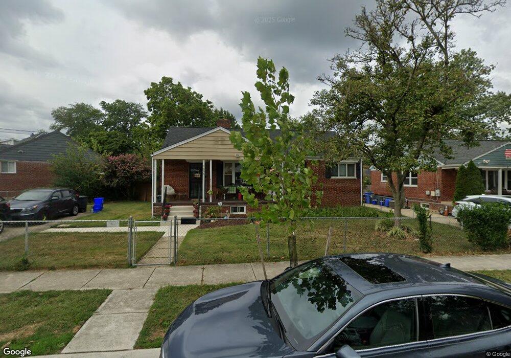
1605 Parham Rd Silver Spring, MD 20903
Oakview NeighborhoodEstimated Value: $401,884 - $504,000
Studio
2
Baths
1,066
Sq Ft
$438/Sq Ft
Est. Value
About This Home
This home is located at 1605 Parham Rd, Silver Spring, MD 20903 and is currently estimated at $466,721, approximately $437 per square foot. 1605 Parham Rd is a home located in Montgomery County with nearby schools including Roscoe R. Nix Elementary School, Cresthaven Elementary School, and Francis Scott Key Middle School.
Ownership History
Date
Name
Owned For
Owner Type
Purchase Details
Closed on
Jun 25, 2025
Sold by
Butler Cornel P
Bought by
Rodriguez Mariana B
Current Estimated Value
Purchase Details
Closed on
Jun 14, 1994
Sold by
Biglin Gene
Bought by
Butler Cornel P
Home Financials for this Owner
Home Financials are based on the most recent Mortgage that was taken out on this home.
Original Mortgage
$124,387
Interest Rate
8.29%
Create a Home Valuation Report for This Property
The Home Valuation Report is an in-depth analysis detailing your home's value as well as a comparison with similar homes in the area
Home Values in the Area
Average Home Value in this Area
Purchase History
| Date | Buyer | Sale Price | Title Company |
|---|---|---|---|
| Rodriguez Mariana B | -- | None Listed On Document | |
| Rodriguez Mariana B | -- | None Listed On Document | |
| Butler Cornel P | $124,500 | -- |
Source: Public Records
Mortgage History
| Date | Status | Borrower | Loan Amount |
|---|---|---|---|
| Previous Owner | Butler Cornel P | $124,387 |
Source: Public Records
Tax History
| Year | Tax Paid | Tax Assessment Tax Assessment Total Assessment is a certain percentage of the fair market value that is determined by local assessors to be the total taxable value of land and additions on the property. | Land | Improvement |
|---|---|---|---|---|
| 2025 | $5,058 | $394,733 | -- | -- |
| 2024 | $5,058 | $375,867 | -- | -- |
| 2023 | $4,124 | $357,000 | $207,600 | $149,400 |
| 2022 | $3,778 | $345,867 | $0 | $0 |
| 2021 | $3,432 | $334,733 | $0 | $0 |
| 2020 | $3,432 | $323,600 | $207,600 | $116,000 |
| 2019 | $3,397 | $323,600 | $207,600 | $116,000 |
| 2018 | $3,575 | $323,600 | $207,600 | $116,000 |
| 2017 | $3,325 | $339,700 | $0 | $0 |
| 2016 | -- | $305,267 | $0 | $0 |
| 2015 | $3,316 | $270,833 | $0 | $0 |
| 2014 | $3,316 | $236,400 | $0 | $0 |
Source: Public Records
Map
Nearby Homes
- 9507 Adelphi Rd
- 9801 Arbor Hill Dr
- 9403 Avenel Rd
- 9405 Sierra St
- 9720 Hedin Dr
- 1030 Cresthaven Dr
- 1824 Metzerott Rd Unit 204
- 1824 Metzerott Rd Unit 203
- 10224 Green Forest Dr
- 1822 Metzerott Rd Unit 402
- 1822 Metzerott Rd Unit 308
- 1822 Metzerott Rd Unit A-2
- 9205 New Hampshire Ave Unit A-4
- 9205 New Hampshire Ave Unit 302
- 9205 New Hampshire Ave Unit 202
- 1804 Metzerott Rd Unit 303
- 1828 Metzerott Rd Unit 202
- 1828 Metzerott Rd Unit 405
- 1909 Forest Dale Dr
- 9201 New Hampshire Ave Unit 208
- 9706 Armistead Rd
- 1603 Parham Rd
- 9704 Armistead Rd
- 1603 Oakview Dr
- 9723 Braddock Rd
- 9721 Braddock Rd
- 1602 Parham Rd
- 1604 Parham Rd
- 1601 Oakview Dr
- 9719 Braddock Rd
- 1605 Oakview Dr
- 9702 Armistead Rd
- 1607 Parham Rd
- 9717 Braddock Rd
- 1607 Oakview Dr
- 9703 Armistead Rd
- 1608 Parham Rd
- 1603 Parham Place
- 9700 Armistead Rd
- 1609 Parham Rd
Your Personal Tour Guide
Ask me questions while you tour the home.