1605 Patrick Mill Place Unit 1 Buford, GA 30518
Estimated Value: $381,986 - $397,000
3
Beds
2
Baths
1,808
Sq Ft
$215/Sq Ft
Est. Value
About This Home
This home is located at 1605 Patrick Mill Place Unit 1, Buford, GA 30518 and is currently estimated at $388,247, approximately $214 per square foot. 1605 Patrick Mill Place Unit 1 is a home located in Gwinnett County with nearby schools including White Oak Elementary School, Lanier Middle School, and Lanier High School.
Ownership History
Date
Name
Owned For
Owner Type
Purchase Details
Closed on
Jun 29, 2000
Sold by
Fitts & Associates Inc
Bought by
Boyd Frank B
Current Estimated Value
Home Financials for this Owner
Home Financials are based on the most recent Mortgage that was taken out on this home.
Original Mortgage
$139,297
Outstanding Balance
$51,256
Interest Rate
8.63%
Mortgage Type
FHA
Estimated Equity
$336,991
Create a Home Valuation Report for This Property
The Home Valuation Report is an in-depth analysis detailing your home's value as well as a comparison with similar homes in the area
Home Values in the Area
Average Home Value in this Area
Purchase History
| Date | Buyer | Sale Price | Title Company |
|---|---|---|---|
| Boyd Frank B | $140,600 | -- |
Source: Public Records
Mortgage History
| Date | Status | Borrower | Loan Amount |
|---|---|---|---|
| Open | Boyd Frank B | $139,297 |
Source: Public Records
Tax History
| Year | Tax Paid | Tax Assessment Tax Assessment Total Assessment is a certain percentage of the fair market value that is determined by local assessors to be the total taxable value of land and additions on the property. | Land | Improvement |
|---|---|---|---|---|
| 2025 | $3,950 | $151,680 | $34,000 | $117,680 |
| 2024 | $3,844 | $140,480 | $30,800 | $109,680 |
| 2023 | $3,844 | $140,480 | $30,800 | $109,680 |
| 2022 | $3,297 | $115,840 | $24,000 | $91,840 |
| 2021 | $2,786 | $89,200 | $19,200 | $70,000 |
| 2020 | $2,603 | $79,840 | $16,000 | $63,840 |
| 2019 | $2,539 | $79,840 | $16,000 | $63,840 |
| 2018 | $2,458 | $76,080 | $16,000 | $60,080 |
| 2016 | $2,226 | $64,360 | $13,600 | $50,760 |
| 2015 | $1,841 | $48,080 | $9,800 | $38,280 |
| 2014 | $1,849 | $48,080 | $9,800 | $38,280 |
Source: Public Records
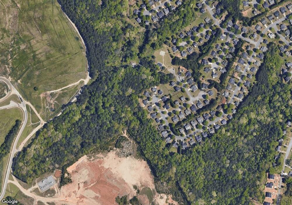
Map
Nearby Homes
- 1725 Patrick Mill Place
- 5550 Little Mill Rd
- 5552 Little Mill Rd
- 5648 Post Mill Ct
- 1920 Patrick Mill Place
- 5774 Harbor Dr
- 1930 Grand Lanier Dr
- 5339 S Richland Creek Rd
- 1012 Homepark Cir
- 1013 Homepark Cir
- 900 Melody Ridge Ln
- 2045 Buford Dam Rd
- 1640 Primrose Park Rd
- 1810 Primrose Park Rd
- 5820 Elm Tree Dr Unit 1
- 1760 Shire Village Dr
- 1851 Primrose Park Rd
- 1727 Shire Village Dr
- 1930 Marina Way
- 6030 Ambercrest Ct
- 1615 Patrick Mill Place Unit 1
- 1595 Patrick Mill Place
- 1590 Patrick Mill Place NE
- 1625 Patrick Mill Place Unit 1
- 1590 Patrick Mill Place
- 1610 Patrick Mill Place
- 1600 Patrick Mill Place
- 1635 Patrick Mill Place
- 1620 Patrick Mill Place NE
- 1620 Patrick Mill Place
- 1635 Patrick Mill Place NE
- 1645 Patrick Mill Place
- 2220 Burr Ct Unit 1
- 5696 Grindstone Dr
- 5686 Grindstone Dr
- 2205 Burr Ct
- 1655 Patrick Mill Place Unit 1
- 2230 Burr Ct
- 2215 Burr Ct Unit 1
- 2225 Burr Ct Unit 1
Your Personal Tour Guide
Ask me questions while you tour the home.