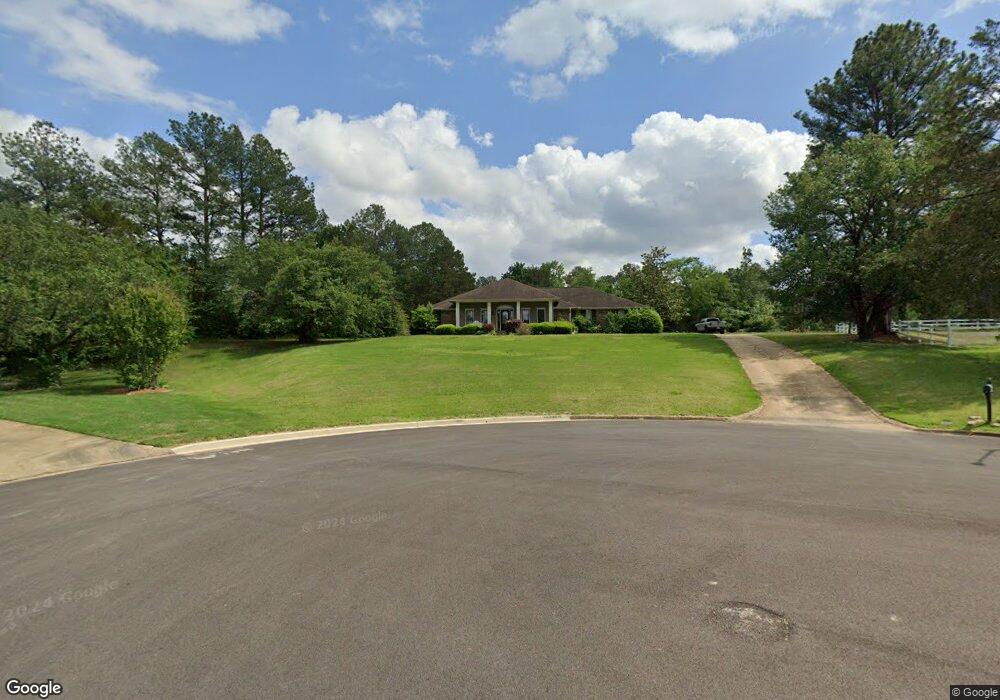
1605 Ruff Cr Tupelo, MI 38801
Estimated Value: $292,000 - $313,345
4
Beds
3
Baths
2,262
Sq Ft
$133/Sq Ft
Est. Value
About This Home
This home is located at 1605 Ruff Cr, Tupelo, MI 38801 and is currently estimated at $301,336, approximately $133 per square foot. 1605 Ruff Cr is a home located in Lee County with nearby schools including Lawndale Elementary School, Parkway Elementary School, and Tupelo Middle School.
Ownership History
Date
Name
Owned For
Owner Type
Purchase Details
Closed on
Sep 23, 2020
Bought by
Spencer Patrick Gray and Gray Jessica D
Current Estimated Value
Home Financials for this Owner
Home Financials are based on the most recent Mortgage that was taken out on this home.
Original Mortgage
$170,000
Outstanding Balance
$150,521
Interest Rate
2.9%
Mortgage Type
New Conventional
Estimated Equity
$150,815
Create a Home Valuation Report for This Property
The Home Valuation Report is an in-depth analysis detailing your home's value as well as a comparison with similar homes in the area
Home Values in the Area
Average Home Value in this Area
Purchase History
| Date | Buyer | Sale Price | Title Company |
|---|---|---|---|
| Spencer Patrick Gray | $212,500 | -- | |
| Gray Patrick Spencer | -- | None Available |
Source: Public Records
Mortgage History
| Date | Status | Borrower | Loan Amount |
|---|---|---|---|
| Open | Gray Patrick Spencer | $170,000 |
Source: Public Records
Tax History Compared to Growth
Tax History
| Year | Tax Paid | Tax Assessment Tax Assessment Total Assessment is a certain percentage of the fair market value that is determined by local assessors to be the total taxable value of land and additions on the property. | Land | Improvement |
|---|---|---|---|---|
| 2025 | $2,778 | $20,432 | $0 | $0 |
| 2024 | $2,778 | $20,432 | $0 | $0 |
| 2023 | $2,529 | $18,899 | $0 | $0 |
| 2022 | $2,229 | $18,899 | $0 | $0 |
| 2021 | $2,229 | $18,899 | $0 | $0 |
| 2020 | $2,529 | $18,899 | $0 | $0 |
| 2019 | $2,087 | $17,835 | $0 | $0 |
| 2018 | $2,087 | $17,835 | $0 | $0 |
| 2017 | $2,078 | $17,835 | $0 | $0 |
| 2016 | $2,078 | $17,835 | $0 | $0 |
| 2015 | $1,861 | $16,267 | $0 | $0 |
| 2014 | $1,861 | $16,267 | $0 | $0 |
Source: Public Records
Map
Nearby Homes
- 1219 Zentwood Rd
- 103 Hinton Cir
- 1913 Pheasant Run
- 2010 Lawndale Dr
- 2311 Shady Wood Dr
- 2006 Fillmore Dr
- 2102 Fillmore Dr
- 1409 Staci Cir
- 2284 Kimbrough Ave
- 1015 Taft St
- 911 Rockefeller Ave
- Lot 1 Dunbarton Place
- 1501 Fillmore Dr
- 0 S Thomas St
- 1304 Kennedy Dr
- 0 Medical Park Cir
- 0 (3 Acres) S Thomas St
- 504 Willett St
- 1264 Morning Glory Cir
- 106 Wildwood Cir
- 1606 Ruff Cir
- 1606 Ruff Cir
- 1601 Ruff Cir
- 1214 Zentwood Rd
- 1604 Ruff
- 1701 Ruff Cir
- 1219 Zentwood Rd
- 1701 Ruff Cr
- 1220 Robin Cove
- 1700 Ruff Cir
- 1220 Robin Cove
- 2107 Bob White Dr
- 103 Zillah Cir
- 1212 Zentwood Rd
- 1222 Robin Cove
- 1217 Zentwood Rd
- 1222 Robin Cove
- 1218 Robin Cove
- 1212 Zentwood Rd
- 1218 Robin Cove