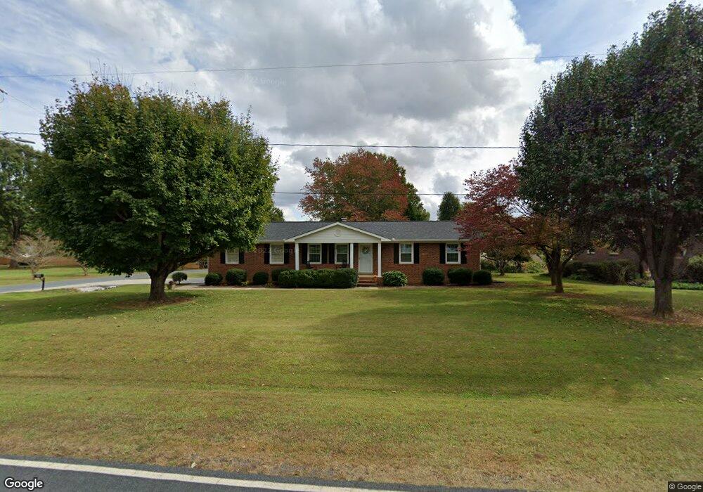
1605 Safrit Rd Salisbury, NC 28146
Estimated Value: $172,000 - $266,000
--
Bed
2
Baths
1,386
Sq Ft
$165/Sq Ft
Est. Value
About This Home
This home is located at 1605 Safrit Rd, Salisbury, NC 28146 and is currently estimated at $229,353, approximately $165 per square foot. 1605 Safrit Rd is a home located in Rowan County with nearby schools including Bostian Elementary School, China Grove Middle School, and Jesse C Carson High School.
Ownership History
Date
Name
Owned For
Owner Type
Purchase Details
Closed on
Feb 26, 2024
Sold by
Bost Kenneth Kevin
Bought by
Bost Kenneth Kevin and Bost Clara Allran
Current Estimated Value
Purchase Details
Closed on
Jun 6, 2018
Sold by
Bost Kenneth Kevin and Bost Clara Allran
Bought by
Bost Kenneth Kevin
Purchase Details
Closed on
Jun 28, 1994
Bought by
Bost Kenneth K and Bost F
Create a Home Valuation Report for This Property
The Home Valuation Report is an in-depth analysis detailing your home's value as well as a comparison with similar homes in the area
Home Values in the Area
Average Home Value in this Area
Purchase History
| Date | Buyer | Sale Price | Title Company |
|---|---|---|---|
| Bost Kenneth Kevin | -- | None Listed On Document | |
| Bost Kenneth Kevin | -- | None Listed On Document | |
| Bost Kenneth Kevin | -- | None Available | |
| Bost Kenneth K | $72,500 | -- |
Source: Public Records
Tax History Compared to Growth
Tax History
| Year | Tax Paid | Tax Assessment Tax Assessment Total Assessment is a certain percentage of the fair market value that is determined by local assessors to be the total taxable value of land and additions on the property. | Land | Improvement |
|---|---|---|---|---|
| 2025 | $1,131 | $168,739 | $31,000 | $137,739 |
| 2024 | $1,131 | $168,739 | $31,000 | $137,739 |
| 2023 | $1,131 | $168,739 | $31,000 | $137,739 |
| 2022 | $887 | $118,698 | $26,000 | $92,698 |
| 2021 | $881 | $118,698 | $26,000 | $92,698 |
| 2020 | $881 | $118,698 | $26,000 | $92,698 |
| 2019 | $881 | $118,698 | $26,000 | $92,698 |
| 2018 | $786 | $106,797 | $26,000 | $80,797 |
| 2017 | $786 | $106,797 | $26,000 | $80,797 |
| 2016 | $786 | $106,797 | $26,000 | $80,797 |
| 2015 | $798 | $106,797 | $26,000 | $80,797 |
| 2014 | $787 | $110,498 | $26,000 | $84,498 |
Source: Public Records
Map
Nearby Homes
- 1381 Safrit Rd
- 1365 Safrit Rd
- 1925 Mount Hope Church Rd
- 1352 Eva Ln
- 0 Ed Weavers Rd
- 1143 Journey Ln
- 0 Brookfield Cir Unit CAR4292885
- 850 and 830 E Nc 152 Hwy E
- 107 Mink Dr
- 1335 Brookwood Dr
- 4040 Daugherty Rd
- 8900 Old Concord Rd
- 35 Happy Hollow Rd
- 1660 Lentz Rd
- 130 Happy Hollow Rd
- 130 Happy Hollow Rd Unit 13/B
- 1675 N Main St
- 6000 S Main St
- 220 Yost Town Rd
- 2510 Lentz Rd
- 1607 Safrit Rd
- 1611 Safrit Rd
- 1604 Safrit Rd
- 145 Cedarfield Dr
- 1503 Safrit Rd
- 160 Acorn Oaks Dr
- 1615 Safrit Rd
- 1504 Safrit Rd
- 230 Acorn Oaks Dr
- 1703 Safrit Rd
- 310 Acorn Oaks Dr
- 150 Acorn Oaks Dr
- 1418 Safrit Rd
- 225 Acorn Oaks Dr
- 145 Acorn Oaks Dr
- 1419 Safrit Rd
- 1705 Safrit Rd
- 155 Shane Candy Ln
- 320 Acorn Oaks Dr
- 1412 Safrit Rd