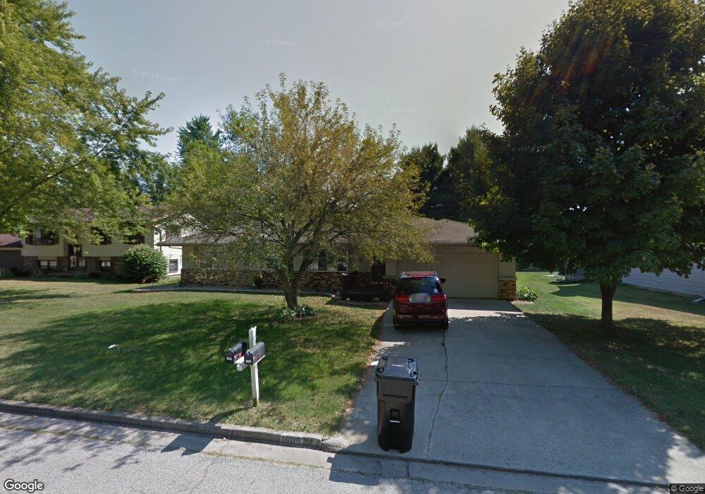
1605 Tompkins Dr Normal, IL 61761
Parkside NeighborhoodEstimated Value: $237,546 - $297,000
3
Beds
2
Baths
1,610
Sq Ft
$168/Sq Ft
Est. Value
About This Home
This home is located at 1605 Tompkins Dr, Normal, IL 61761 and is currently estimated at $270,387, approximately $167 per square foot. 1605 Tompkins Dr is a home located in McLean County with nearby schools including Parkside Elementary School, Parkside Junior High School, and Normal Community West High School.
Ownership History
Date
Name
Owned For
Owner Type
Purchase Details
Closed on
Aug 30, 2013
Sold by
Kuhnke Lindsey
Bought by
Kuhnke Stephen
Current Estimated Value
Purchase Details
Closed on
Jul 14, 2006
Sold by
Kerfoot Kenneth L and Kerfoot Ginger
Bought by
Kuhnke Steve and Kuhnke Lindsey
Home Financials for this Owner
Home Financials are based on the most recent Mortgage that was taken out on this home.
Original Mortgage
$159,000
Interest Rate
6.73%
Create a Home Valuation Report for This Property
The Home Valuation Report is an in-depth analysis detailing your home's value as well as a comparison with similar homes in the area
Home Values in the Area
Average Home Value in this Area
Purchase History
| Date | Buyer | Sale Price | Title Company |
|---|---|---|---|
| Kuhnke Stephen | -- | None Available | |
| Kuhnke Steve | $159,000 | None Available |
Source: Public Records
Mortgage History
| Date | Status | Borrower | Loan Amount |
|---|---|---|---|
| Previous Owner | Kuhnke Steve | $159,000 |
Source: Public Records
Tax History
| Year | Tax Paid | Tax Assessment Tax Assessment Total Assessment is a certain percentage of the fair market value that is determined by local assessors to be the total taxable value of land and additions on the property. | Land | Improvement |
|---|---|---|---|---|
| 2024 | $4,611 | $70,874 | $15,200 | $55,674 |
| 2022 | $4,611 | $57,333 | $12,296 | $45,037 |
| 2021 | $4,423 | $54,093 | $11,601 | $42,492 |
| 2020 | $4,392 | $53,530 | $11,480 | $42,050 |
| 2019 | $4,241 | $53,242 | $11,418 | $41,824 |
| 2018 | $4,188 | $52,678 | $11,297 | $41,381 |
| 2017 | $4,039 | $52,678 | $11,297 | $41,381 |
| 2016 | $3,995 | $52,678 | $11,297 | $41,381 |
| 2015 | $3,875 | $51,443 | $11,032 | $40,411 |
| 2014 | $3,827 | $51,443 | $11,032 | $40,411 |
| 2013 | -- | $51,443 | $11,032 | $40,411 |
Source: Public Records
Map
Nearby Homes
- 9 Linda Ln
- 203 Edwards Dr
- 205 Edwards Dr
- 112 College Park Ct
- 106 College Park Ct
- 107 Nottingham Chase
- 103 Cheltenham Dr
- 1715 Bryan St
- 2112 Parker Ave
- 804 Osage St
- 259 Cassidy Rd
- 231 Eugene Dr
- 1721 Bluestone Dr
- 67 Oak Park Rd
- Lot 8 Emeline St
- 1710 Bluestone Dr
- 7 Lake Ridge Ct
- 1215 Wall St
- 9 Parkshores Dr
- 1730 Millstone Dr
- 1603 Tompkins Dr
- 1607 Tompkins Dr
- 1602 Tompkins Dr
- 1609 Tompkins Dr
- 10 Linda Ln
- 1604 Tompkins Dr
- 1601 Tompkins Dr
- 1606 Tompkins Dr
- 11 Linda Ln
- 200 Collins Dr
- 202 Collins Dr
- 1611 Tompkins Dr
- 8 Linda Ln
- 1608 Tompkins Dr
- 12 Linda Ln
- 1605 Budig Dr
- 1610 Tompkins Dr
- 7 Linda Ln
- 1614 Sanderson Ct
- 1607 Budig Dr
Your Personal Tour Guide
Ask me questions while you tour the home.