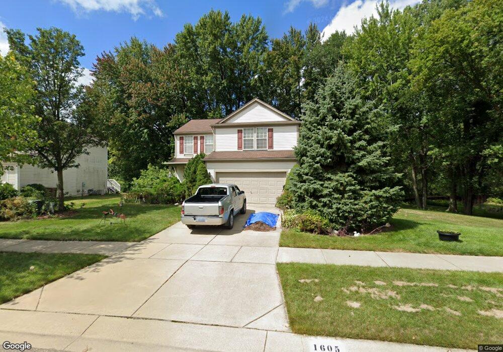
1605 Valdosta Cir Pontiac, MI 48340
Estimated Value: $286,000 - $352,000
4
Beds
3
Baths
1,785
Sq Ft
$171/Sq Ft
Est. Value
About This Home
This home is located at 1605 Valdosta Cir, Pontiac, MI 48340 and is currently estimated at $304,888, approximately $170 per square foot. 1605 Valdosta Cir is a home located in Oakland County with nearby schools including Alcott School, Pontiac Middle School, and Pontiac High School.
Ownership History
Date
Name
Owned For
Owner Type
Purchase Details
Closed on
Mar 4, 2005
Sold by
Hamilton David M and Hamilton Kimberly A
Bought by
Moore Elbert
Current Estimated Value
Purchase Details
Closed on
Apr 22, 1999
Sold by
Pulte Land Dev Corp
Bought by
Hamilton David M
Home Financials for this Owner
Home Financials are based on the most recent Mortgage that was taken out on this home.
Original Mortgage
$154,700
Interest Rate
6.94%
Create a Home Valuation Report for This Property
The Home Valuation Report is an in-depth analysis detailing your home's value as well as a comparison with similar homes in the area
Home Values in the Area
Average Home Value in this Area
Purchase History
| Date | Buyer | Sale Price | Title Company |
|---|---|---|---|
| Moore Elbert | $193,000 | Capital Title Ins Agency | |
| Hamilton David M | $40,000 | -- |
Source: Public Records
Mortgage History
| Date | Status | Borrower | Loan Amount |
|---|---|---|---|
| Previous Owner | Hamilton David M | $154,700 |
Source: Public Records
Tax History Compared to Growth
Tax History
| Year | Tax Paid | Tax Assessment Tax Assessment Total Assessment is a certain percentage of the fair market value that is determined by local assessors to be the total taxable value of land and additions on the property. | Land | Improvement |
|---|---|---|---|---|
| 2024 | $1,727 | $120,330 | $0 | $0 |
| 2023 | $1,646 | $106,760 | $0 | $0 |
| 2022 | $1,661 | $99,320 | $0 | $0 |
| 2021 | $1,611 | $89,890 | $0 | $0 |
| 2020 | $1,495 | $84,870 | $0 | $0 |
| 2019 | $1,581 | $74,700 | $0 | $0 |
| 2018 | $1,533 | $65,910 | $0 | $0 |
| 2017 | $1,451 | $62,680 | $0 | $0 |
| 2016 | $1,472 | $57,630 | $0 | $0 |
| 2015 | -- | $45,790 | $0 | $0 |
| 2014 | -- | $38,680 | $0 | $0 |
| 2011 | -- | $45,640 | $0 | $0 |
Source: Public Records
Map
Nearby Homes
- 2854 Beacham Dr
- 2927 Huntington Park Dr
- 2831 Silverstone Ln
- 940 Lake Angelus Shores Rd
- 405 W Walton Blvd
- 2550 W Walton Blvd
- 2361 Montroyal Ave
- 310 W Princeton Ave
- 228 W Walton Blvd
- 161 W Brooklyn Ave
- 3411 Wormer Dr
- 108 W Brooklyn Ave
- 104 W Brooklyn Ave
- 2830 Dixie Hwy
- 1123 Cherrylawn Dr
- 1153 Stanley Ave
- 64 W Colgate Ave
- 37 W Brooklyn Ave
- 240 W Fairmount Ave
- 0000 Collier Rd
- 1603 Valdosta Cir
- 1601 Valdosta Cir
- 1585 Marshbank Dr
- 1604 Valdosta Cir
- 1606 Valdosta Cir
- 1583 Marshbank Dr
- 1613 Valdosta Cir
- 1608 Valdosta Cir
- 1600 Valdosta Cir
- 1581 Marshbank Dr
- 1615 Valdosta Cir
- 1560 Meadow Ridge Dr
- 1579 Marshbank Dr
- 1590 Marshbank Dr
- 1599 Marshbank Dr
- 1604 Savanna Dr
- 1603 Savanna Dr
- 1592 Marshbank Dr
- 1617 Valdosta Cir
- 1604 Marshbank Dr