1605 White Bluff Dr Whitney, TX 76692
Estimated Value: $481,507 - $562,000
--
Bed
--
Bath
2,552
Sq Ft
$203/Sq Ft
Est. Value
About This Home
This home is located at 1605 White Bluff Dr, Whitney, TX 76692 and is currently estimated at $517,127, approximately $202 per square foot. 1605 White Bluff Dr is a home located in Hill County with nearby schools including Whitney Elementary School, Whitney Intermediate School, and Whitney Middle School.
Ownership History
Date
Name
Owned For
Owner Type
Purchase Details
Closed on
Jan 9, 2020
Sold by
Daniells Jerry and Daniells Ruth
Bought by
Pacio Mia Nita A and Pacio Nester
Current Estimated Value
Purchase Details
Closed on
Jan 8, 2020
Sold by
Pacio Mia Nita A and Pacio Nestor
Bought by
Sheppard David E and Sheppard Rebecca R
Purchase Details
Closed on
Aug 30, 2006
Sold by
Double Diamond Inc
Bought by
Pacio Mia Nita A
Purchase Details
Closed on
Jun 11, 2006
Sold by
Ramos Valentin S and Molinar Socorro C
Bought by
Double Diamond Inc
Purchase Details
Closed on
Feb 18, 2006
Sold by
Double Diamond Inc
Bought by
Ramos Valentin S and Molinar Socorro C
Create a Home Valuation Report for This Property
The Home Valuation Report is an in-depth analysis detailing your home's value as well as a comparison with similar homes in the area
Home Values in the Area
Average Home Value in this Area
Purchase History
| Date | Buyer | Sale Price | Title Company |
|---|---|---|---|
| Pacio Mia Nita A | -- | Hill County Title Co | |
| Sheppard David E | -- | Hill County Title Co | |
| Pacio Mia Nita A | -- | None Available | |
| Pacio Mia Nita A | -- | None Available | |
| Double Diamond Inc | -- | None Available | |
| Ramos Valentin S | -- | None Available |
Source: Public Records
Mortgage History
| Date | Status | Borrower | Loan Amount |
|---|---|---|---|
| Closed | Ramos Valentin S | $0 |
Source: Public Records
Tax History Compared to Growth
Tax History
| Year | Tax Paid | Tax Assessment Tax Assessment Total Assessment is a certain percentage of the fair market value that is determined by local assessors to be the total taxable value of land and additions on the property. | Land | Improvement |
|---|---|---|---|---|
| 2025 | $8,264 | $538,890 | $36,120 | $502,770 |
| 2024 | $7,857 | $537,260 | $36,120 | $501,140 |
| 2023 | $7,252 | $518,620 | $36,120 | $482,500 |
| 2022 | $7,920 | $459,030 | $9,270 | $449,760 |
| 2021 | $8,180 | $384,940 | $9,270 | $375,670 |
| 2020 | $206 | $9,270 | $9,270 | $0 |
| 2019 | $218 | $9,390 | $9,390 | $0 |
| 2018 | $218 | $9,390 | $9,390 | $0 |
| 2017 | $220 | $9,390 | $9,390 | $0 |
| 2016 | $220 | $9,390 | $9,390 | $0 |
| 2015 | -- | $10,900 | $10,900 | $0 |
| 2014 | -- | $12,110 | $12,110 | $0 |
Source: Public Records
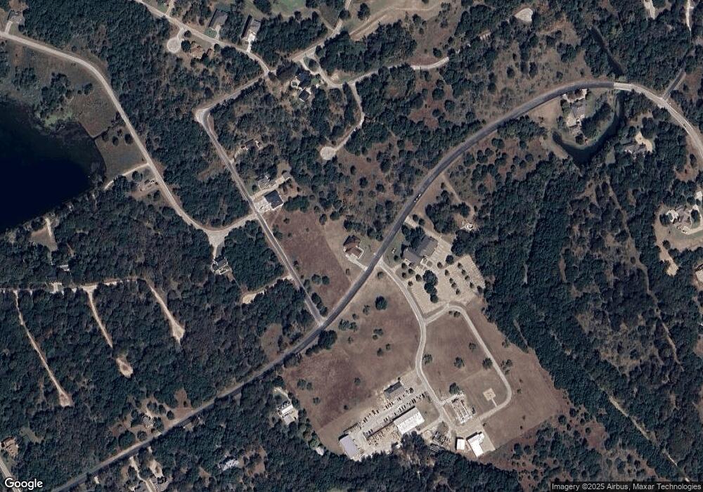
Map
Nearby Homes
- 39279 Cedar Park Dr
- 39278 Cedar Park Dr
- 1545 White Bluff Dr
- 1554 Foxfire Ct
- 39181 Misty Valley Cir
- 38038 Brookside Dr
- 38049 Brookside Dr
- 38070 Brookside Dr
- 38055 Brookside Dr
- 38063 Brookside Dr
- 38128 Brookside Dr
- 38057 Brookside Dr
- 1497 Sage Ct
- 38093 Misty Ridge Dr
- 39131 Royalwood Ln
- 1504 Deerwood Ct
- 1464 Twin Oak Dr
- 1470 Twin Oak Dr
- 4006 Whitecrest Dr
- 39208 Cross Timber Dr
- 596 Brookside Dr
- 15010 Brookside Dr
- 1602 Brookside Dr
- 1601 Brookside Dr
- 38061 Brookside Dr
- 39242 Cedar Park Dr
- 38006 Cedar Park Dr
- 39273 Cedar Park Dr
- 38059 Brookside Dr
- 39357 Cedar Trail
- 1073 White Bluff Dr
- 1607W White Bluff Dr
- 1598 Brookside Dr
- 1559 Whitecrest Dr
- 38055 Brookside Ct W
- 1549 Foxfire Ct
- 39217 Shadow Ridge
- 1608 White Bluff Dr
- 20029 Misty Valley Cir
- 20008 Misty Valley Cir