16056 Carson Rd Fredericktown, OH 43019
Estimated Value: $409,674 - $463,000
2
Beds
3
Baths
2,448
Sq Ft
$179/Sq Ft
Est. Value
About This Home
This home is located at 16056 Carson Rd, Fredericktown, OH 43019 and is currently estimated at $437,225, approximately $178 per square foot. 16056 Carson Rd is a home located in Knox County with nearby schools including Mount Vernon High School.
Ownership History
Date
Name
Owned For
Owner Type
Purchase Details
Closed on
Oct 30, 2015
Sold by
Lewis Rayleen J
Bought by
Lewis Hoyt R
Current Estimated Value
Home Financials for this Owner
Home Financials are based on the most recent Mortgage that was taken out on this home.
Original Mortgage
$54,400
Outstanding Balance
$22,419
Interest Rate
3.91%
Mortgage Type
New Conventional
Estimated Equity
$414,806
Create a Home Valuation Report for This Property
The Home Valuation Report is an in-depth analysis detailing your home's value as well as a comparison with similar homes in the area
Purchase History
| Date | Buyer | Sale Price | Title Company |
|---|---|---|---|
| Lewis Hoyt R | $68,000 | None Available |
Source: Public Records
Mortgage History
| Date | Status | Borrower | Loan Amount |
|---|---|---|---|
| Open | Lewis Hoyt R | $54,400 |
Source: Public Records
Tax History
| Year | Tax Paid | Tax Assessment Tax Assessment Total Assessment is a certain percentage of the fair market value that is determined by local assessors to be the total taxable value of land and additions on the property. | Land | Improvement |
|---|---|---|---|---|
| 2024 | $4,220 | $101,010 | $48,260 | $52,750 |
| 2023 | $4,308 | $101,010 | $48,260 | $52,750 |
| 2022 | $3,314 | $69,660 | $33,280 | $36,380 |
| 2021 | $3,314 | $69,660 | $33,280 | $36,380 |
| 2020 | $3,236 | $69,660 | $33,280 | $36,380 |
| 2019 | $2,910 | $59,270 | $26,230 | $33,040 |
| 2018 | $2,912 | $59,270 | $26,230 | $33,040 |
| 2017 | $2,866 | $59,270 | $26,230 | $33,040 |
| 2016 | $2,571 | $54,870 | $24,280 | $30,590 |
| 2015 | $2,581 | $54,870 | $24,280 | $30,590 |
| 2014 | $2,417 | $51,070 | $24,280 | $26,790 |
| 2013 | $2,558 | $51,140 | $23,200 | $27,940 |
Source: Public Records
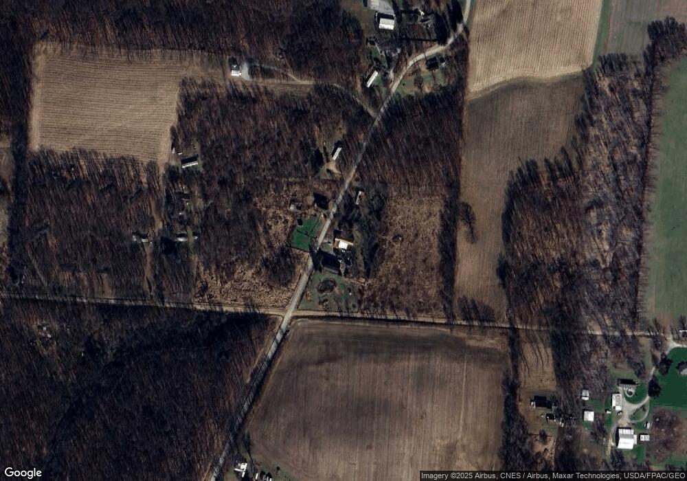
Map
Nearby Homes
- 17921 E Shady Ln
- 14499 Wooster Rd
- 15700 Sherri Rd
- 15700 Sherri Dr
- 15745 Lower Fredericktown Amity Rd
- 13999 Wooster Rd
- 14281 N Liberty Rd
- 14293 Gilchrist Rd
- 16481 Wooster Rd
- 0 Divelbiss Rd
- 16511 Gilchrist Rd
- 0 Crooked St
- 12627 Upper Gilchrist Rd
- 1737 Vernonview Dr
- 15066 Monroe Mills Rd
- 992 Country Club Dr
- 0 Crooked Street Land Split 2
- 13270 Rolling Hills Ct
- 898 Country Club Dr
- 926 Fairway Dr
- 16195 Carson Rd
- 0 Carson Rd
- 17503 Barton Rd
- 16200 Carson Rd
- 16257 Carson Rd
- 17451 Barton Rd
- 16255 Carson Rd
- 17471 Barton Rd
- 17405 Barton Rd
- 17830 Barton Rd
- 17560 Barton Rd
- 17397 Barton Rd
- 16289 Carson Rd
- 17944 Barton Rd
- 16323 Carson Rd
- 16327 Carson Rd
- 15692 Carson Rd
- 15650 Carson Rd
- 17268 Barton Rd
- 15630 Carson Rd
Your Personal Tour Guide
Ask me questions while you tour the home.