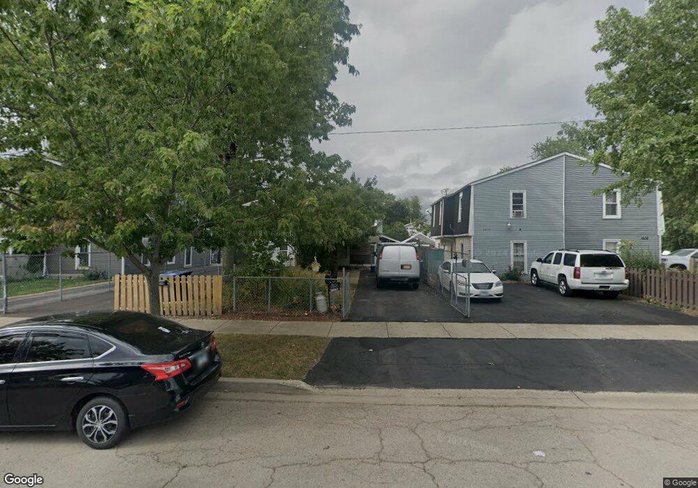
1606 11th St Waukegan, IL 60085
Lyon Acres NeighborhoodEstimated Value: $125,000 - $207,091
3
Beds
2
Baths
1,200
Sq Ft
$135/Sq Ft
Est. Value
About This Home
This home is located at 1606 11th St, Waukegan, IL 60085 and is currently estimated at $161,773, approximately $134 per square foot. 1606 11th St is a home located in Lake County with nearby schools including Clearview Elementary School, John R Lewis Middle School, and Waukegan High School.
Ownership History
Date
Name
Owned For
Owner Type
Purchase Details
Closed on
Sep 17, 2018
Sold by
Dellyavo Fabiola G
Bought by
Campos Gabriel Delgado
Current Estimated Value
Purchase Details
Closed on
Oct 28, 2004
Sold by
Salazar Sara E
Bought by
Delgado Gabriel and Delgado Maria
Home Financials for this Owner
Home Financials are based on the most recent Mortgage that was taken out on this home.
Original Mortgage
$79,800
Outstanding Balance
$39,637
Interest Rate
5.71%
Mortgage Type
Unknown
Estimated Equity
$122,136
Create a Home Valuation Report for This Property
The Home Valuation Report is an in-depth analysis detailing your home's value as well as a comparison with similar homes in the area
Home Values in the Area
Average Home Value in this Area
Purchase History
| Date | Buyer | Sale Price | Title Company |
|---|---|---|---|
| Campos Gabriel Delgado | -- | None Available | |
| Delgado Gabriel | $84,666 | Ticor |
Source: Public Records
Mortgage History
| Date | Status | Borrower | Loan Amount |
|---|---|---|---|
| Open | Delgado Gabriel | $79,800 |
Source: Public Records
Tax History Compared to Growth
Tax History
| Year | Tax Paid | Tax Assessment Tax Assessment Total Assessment is a certain percentage of the fair market value that is determined by local assessors to be the total taxable value of land and additions on the property. | Land | Improvement |
|---|---|---|---|---|
| 2024 | $3,199 | $40,364 | $5,605 | $34,759 |
| 2023 | $2,141 | $34,567 | $4,800 | $29,767 |
| 2022 | $2,141 | $22,197 | $3,065 | $19,132 |
| 2021 | $2,256 | $22,003 | $3,038 | $18,965 |
| 2020 | $2,286 | $20,498 | $2,830 | $17,668 |
| 2019 | $2,567 | $20,955 | $2,593 | $18,362 |
| 2018 | $1,484 | $11,624 | $2,935 | $8,689 |
| 2017 | $1,443 | $10,284 | $2,597 | $7,687 |
| 2016 | $1,364 | $8,937 | $2,257 | $6,680 |
| 2015 | $1,319 | $14,702 | $2,020 | $12,682 |
| 2014 | $2,558 | $15,349 | $2,182 | $13,167 |
| 2012 | $3,156 | $16,631 | $2,364 | $14,267 |
Source: Public Records
Map
Nearby Homes
- 1712 11th St
- 819 S Fulton Ave
- 1511 14th St
- 1244 Victoria Ave
- 1210 Park Ave
- 724 10th St
- 1521 Seymour Ave
- 720 13th St
- 1423 Victoria Ave
- 1301 Park Ave
- 815 Prescott St
- 1101 Adams St
- 1535 Glenn Dr
- 1102 Wadsworth Ave
- 1617 Grove Ave
- 910 Cummings Ave
- 842 Wadsworth Ave
- 1542 Victoria Ave
- 631 8th St
- 1641 Jackson St