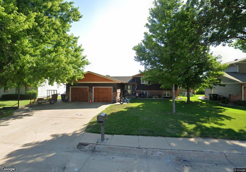
1606 Apache Ave Hastings, NE 68901
Estimated Value: $310,000 - $433,000
4
Beds
3
Baths
1,536
Sq Ft
$230/Sq Ft
Est. Value
About This Home
This home is located at 1606 Apache Ave, Hastings, NE 68901 and is currently estimated at $352,517, approximately $229 per square foot. 1606 Apache Ave is a home located in Adams County with nearby schools including Hastings Senior High School, St. Michael's Preschool & Elementary School, and Zion Lutheran School.
Ownership History
Date
Name
Owned For
Owner Type
Purchase Details
Closed on
Feb 19, 2015
Sold by
Crossno Matthew and Crossno Tamera K
Bought by
Tharp Todd L and Tharp Kara C
Current Estimated Value
Purchase Details
Closed on
Sep 10, 2012
Sold by
Fannie Mae
Bought by
Crossino Matthtew
Home Financials for this Owner
Home Financials are based on the most recent Mortgage that was taken out on this home.
Original Mortgage
$102,850
Interest Rate
2.93%
Mortgage Type
New Conventional
Purchase Details
Closed on
Jul 13, 2012
Sold by
Hock John H and Hock Jennifer J
Bought by
Jpmorgan Chase Bank
Home Financials for this Owner
Home Financials are based on the most recent Mortgage that was taken out on this home.
Original Mortgage
$102,850
Interest Rate
2.93%
Mortgage Type
New Conventional
Purchase Details
Closed on
Oct 27, 2006
Sold by
Hitchcock Marion A and Hitchcock John R
Bought by
Hock John B and Hock Jennifer J
Create a Home Valuation Report for This Property
The Home Valuation Report is an in-depth analysis detailing your home's value as well as a comparison with similar homes in the area
Home Values in the Area
Average Home Value in this Area
Purchase History
| Date | Buyer | Sale Price | Title Company |
|---|---|---|---|
| Tharp Todd L | $200,000 | None Available | |
| Crossino Matthtew | -- | M Nebraska Title Companyi | |
| Jpmorgan Chase Bank | -- | None Available | |
| Hock John B | -- | None Available |
Source: Public Records
Mortgage History
| Date | Status | Borrower | Loan Amount |
|---|---|---|---|
| Previous Owner | Crossino Matthtew | $102,850 |
Source: Public Records
Tax History
| Year | Tax Paid | Tax Assessment Tax Assessment Total Assessment is a certain percentage of the fair market value that is determined by local assessors to be the total taxable value of land and additions on the property. | Land | Improvement |
|---|---|---|---|---|
| 2025 | $4,158 | $265,925 | $28,080 | $237,845 |
| 2024 | $4,311 | $265,925 | $28,080 | $237,845 |
| 2023 | $4,751 | $230,249 | $28,080 | $202,169 |
| 2022 | $4,580 | $203,310 | $28,080 | $175,230 |
| 2021 | $4,407 | $200,970 | $25,740 | $175,230 |
| 2020 | $4,333 | $200,970 | $25,740 | $175,230 |
| 2019 | $4,287 | $200,970 | $25,740 | $175,230 |
| 2018 | $4,159 | $193,950 | $18,720 | $175,230 |
| 2017 | $4,082 | $190,515 | $0 | $0 |
| 2016 | $3,851 | $179,550 | $18,720 | $160,830 |
| 2011 | -- | $154,565 | $16,850 | $137,715 |
Source: Public Records
Map
Nearby Homes
- 1720 Apache Ave
- 1406 Sheridan Place
- 1401 Heritage Dr
- 1233 Heritage Dr
- 1253 Westridge Dr
- 1225 Heritage Dr
- 1250 Heritage Place
- 1105 Jefferson Ave
- 1909 W 10th St
- 1934 W 9th St
- 2019 W 9th St
- 910 Jefferson Ave
- 1334 W 12th St
- 2412 W 8th St
- 736 N Barnes Ave
- 1810 W 8th St
- 1701 Boyce St
- 1831 W 8th St
- 2603 Bateman St
- 929 N Briggs Ave
- 1600 Apache Ave
- 1612 Apache Ave
- 1520 Apache Ave
- 1616 Apache Ave
- 1607 Apache Ave
- 1601 Apache Ave
- 2013 Crane Circle Dr
- 1613 Apache Ave
- 1518 Apache Ave
- 1620 Apache Ave
- 1521 Apache Ave
- 2009 Crane Circle Dr
- 1617 Apache Ave
- 2016 Crane Circle Dr
- 2005 Crane Circle Dr
- 1514 Arapahoe Ave
- 1518 Arapahoe Ave
- 1515 Apache Ave
- 1627 Apache Ave
- 1512 Apache Ave
Your Personal Tour Guide
Ask me questions while you tour the home.