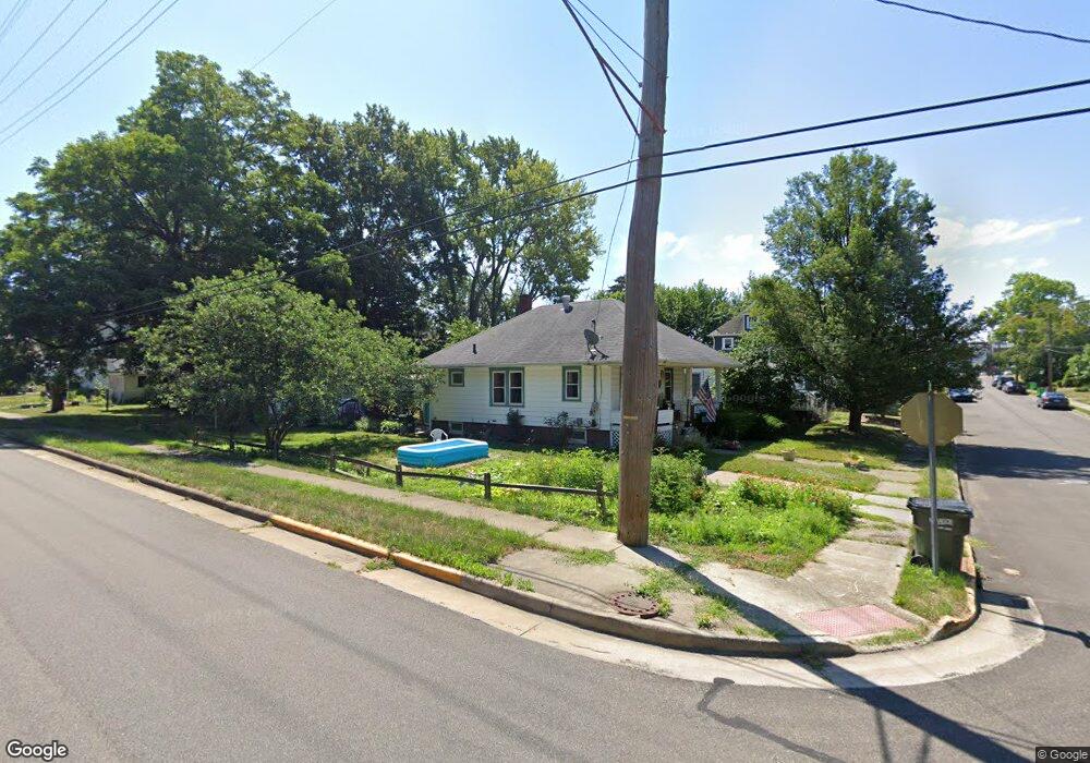
1606 Burt Ave Alliance, OH 44601
Estimated Value: $60,000 - $108,287
2
Beds
1
Bath
831
Sq Ft
$105/Sq Ft
Est. Value
About This Home
This home is located at 1606 Burt Ave, Alliance, OH 44601 and is currently estimated at $87,572, approximately $105 per square foot. 1606 Burt Ave is a home located in Stark County with nearby schools including Alliance Elementary School at Rockhill, Alliance Intermediate School at Northside, and Alliance Middle School.
Ownership History
Date
Name
Owned For
Owner Type
Purchase Details
Closed on
Aug 11, 2009
Sold by
Buehler Erich and Buehler Betul
Bought by
White Tail Ventures Ltd
Current Estimated Value
Purchase Details
Closed on
Jul 11, 2008
Sold by
Us Bank Na
Bought by
Buehler Erich L
Purchase Details
Closed on
Mar 28, 2008
Sold by
Wagner Elin M
Bought by
Us Bank Na and C Bass Mortgage Loan Asset Backed Certif
Purchase Details
Closed on
Jan 12, 1998
Sold by
Dalesandro Donna J
Bought by
Wagner Elin M
Purchase Details
Closed on
Jan 14, 1993
Create a Home Valuation Report for This Property
The Home Valuation Report is an in-depth analysis detailing your home's value as well as a comparison with similar homes in the area
Home Values in the Area
Average Home Value in this Area
Purchase History
| Date | Buyer | Sale Price | Title Company |
|---|---|---|---|
| White Tail Ventures Ltd | -- | Attorney | |
| Buehler Erich L | $32,000 | Chicago Title | |
| Us Bank Na | $38,000 | None Available | |
| Wagner Elin M | $48,000 | -- | |
| -- | -- | -- |
Source: Public Records
Tax History
| Year | Tax Paid | Tax Assessment Tax Assessment Total Assessment is a certain percentage of the fair market value that is determined by local assessors to be the total taxable value of land and additions on the property. | Land | Improvement |
|---|---|---|---|---|
| 2025 | -- | $21,460 | $7,180 | $14,280 |
| 2024 | -- | $21,460 | $7,180 | $14,280 |
| 2023 | $722 | $17,540 | $4,830 | $12,710 |
| 2022 | $727 | $17,540 | $4,830 | $12,710 |
| 2021 | $729 | $17,540 | $4,830 | $12,710 |
| 2020 | $662 | $14,880 | $4,200 | $10,680 |
| 2019 | $653 | $14,880 | $4,200 | $10,680 |
Source: Public Records
Map
Nearby Homes
- 233 Shadyside Ct
- 1350 S Freedom Ave
- 1823 S Seneca Ave
- 2041 Watson Ave
- 1608 S Liberty Ave
- 167 11th St
- 152 E Mill St
- 134 11th St
- 834 Devine St
- 226 Milner St
- 231 Rosenberry St
- 234 Rosenberry St
- 1522 Wade Ave
- 46 Rosenberry St
- 2372 S Union Ave
- 2408 S Linden Ave
- 2405 Cherry Ave
- 2406 S Union Ave
- 807 S Union Ave
- 203 Glamorgan St
Your Personal Tour Guide
Ask me questions while you tour the home.