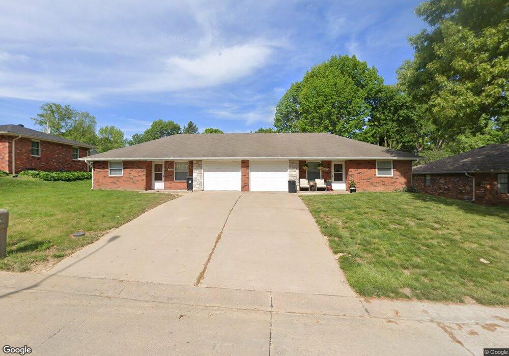
1606 Pat Dr Saint Joseph, MO 64506
East Saint Joseph NeighborhoodEstimated Value: $152,129 - $270,000
Studio
--
Bath
1,152
Sq Ft
$188/Sq Ft
Est. Value
About This Home
This home is located at 1606 Pat Dr, Saint Joseph, MO 64506 and is currently estimated at $216,782, approximately $188 per square foot. 1606 Pat Dr is a home located in Buchanan County with nearby schools including Ellison Elementary School, Bode Middle School, and Central High School.
Ownership History
Date
Name
Owned For
Owner Type
Purchase Details
Closed on
Mar 2, 2012
Sold by
Griffee Todd W and Griffee Jenifer L
Bought by
Saxton Amy
Current Estimated Value
Home Financials for this Owner
Home Financials are based on the most recent Mortgage that was taken out on this home.
Original Mortgage
$80,000
Outstanding Balance
$8,780
Interest Rate
3.23%
Mortgage Type
New Conventional
Estimated Equity
$208,002
Purchase Details
Closed on
Aug 15, 2005
Sold by
Kerns Orville Lee and Orville Lee Kerns Trust
Bought by
Griffee Todd
Home Financials for this Owner
Home Financials are based on the most recent Mortgage that was taken out on this home.
Original Mortgage
$80,000
Interest Rate
5.51%
Mortgage Type
New Conventional
Create a Home Valuation Report for This Property
The Home Valuation Report is an in-depth analysis detailing your home's value as well as a comparison with similar homes in the area
Home Values in the Area
Average Home Value in this Area
Purchase History
| Date | Buyer | Sale Price | Title Company |
|---|---|---|---|
| Saxton Amy | -- | First American Title | |
| Griffee Todd | $114,900 | None Available |
Source: Public Records
Mortgage History
| Date | Status | Borrower | Loan Amount |
|---|---|---|---|
| Open | Saxton Amy | $80,000 | |
| Previous Owner | Griffee Todd | $80,000 |
Source: Public Records
Tax History
| Year | Tax Paid | Tax Assessment Tax Assessment Total Assessment is a certain percentage of the fair market value that is determined by local assessors to be the total taxable value of land and additions on the property. | Land | Improvement |
|---|---|---|---|---|
| 2025 | $1,335 | $18,870 | $4,980 | $13,890 |
| 2024 | $1,166 | $16,440 | $4,980 | $11,460 |
| 2023 | $1,166 | $16,440 | $4,980 | $11,460 |
| 2022 | $1,080 | $16,440 | $4,980 | $11,460 |
| 2021 | $1,085 | $16,440 | $4,980 | $11,460 |
| 2020 | $1,079 | $16,440 | $4,980 | $11,460 |
| 2019 | $1,042 | $16,440 | $4,980 | $11,460 |
| 2018 | $940 | $16,440 | $4,980 | $11,460 |
| 2017 | $931 | $16,440 | $0 | $0 |
| 2015 | $0 | $16,440 | $0 | $0 |
| 2014 | $1,022 | $16,440 | $0 | $0 |
Source: Public Records
Map
Nearby Homes
- 1615 Wayne Dr
- 1406 Tamara Dr
- 5304 Frederick Ave
- 5309 Ethel Dr
- 34 Caribou Cir
- 4702 Zebra Ln
- 4724 Arrowhead Dr
- 4608 Heatherwood Ct
- 4602 N Heatherwood Dr
- 4806 Stonecrest Terrace
- 4410 Hunter Dr
- 5007 S Mission Dr
- 4514 Alpha Ln
- 5811 Frederick Blvd
- 13 Stonecrest
- 1303 N 43rd St
- 4313 Hidden Valley Dr
- 4311 Hidden Valley Dr
- 2607 Ashmat Ln
- 4207 Hidden Valley Dr
Your Personal Tour Guide
Ask me questions while you tour the home.