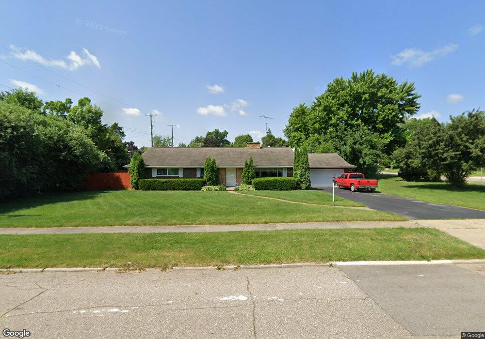
1606 Ramsay Blvd Flint, MI 48503
Southwest Flint NeighborhoodEstimated Value: $148,000 - $210,000
2
Beds
3
Baths
1,635
Sq Ft
$106/Sq Ft
Est. Value
About This Home
This home is located at 1606 Ramsay Blvd, Flint, MI 48503 and is currently estimated at $173,988, approximately $106 per square foot. 1606 Ramsay Blvd is a home located in Genesee County with nearby schools including Eisenhower School, Flint Southwestern Classical Academy, and St John Vianney Catholic School.
Ownership History
Date
Name
Owned For
Owner Type
Purchase Details
Closed on
Dec 20, 2005
Sold by
Dunn Mary Ann
Bought by
Mckamie Robert J and Mckamie Kathleen L
Current Estimated Value
Home Financials for this Owner
Home Financials are based on the most recent Mortgage that was taken out on this home.
Original Mortgage
$80,000
Interest Rate
6.4%
Mortgage Type
Fannie Mae Freddie Mac
Create a Home Valuation Report for This Property
The Home Valuation Report is an in-depth analysis detailing your home's value as well as a comparison with similar homes in the area
Home Values in the Area
Average Home Value in this Area
Purchase History
| Date | Buyer | Sale Price | Title Company |
|---|---|---|---|
| Mckamie Robert J | $100,000 | Greco Title |
Source: Public Records
Mortgage History
| Date | Status | Borrower | Loan Amount |
|---|---|---|---|
| Closed | Mckamie Robert J | $80,000 |
Source: Public Records
Tax History
| Year | Tax Paid | Tax Assessment Tax Assessment Total Assessment is a certain percentage of the fair market value that is determined by local assessors to be the total taxable value of land and additions on the property. | Land | Improvement |
|---|---|---|---|---|
| 2025 | $2,094 | $84,900 | $0 | $0 |
| 2024 | $1,859 | $82,400 | $0 | $0 |
| 2023 | $1,804 | $68,900 | $0 | $0 |
| 2022 | $0 | $60,100 | $0 | $0 |
| 2021 | $1,901 | $55,900 | $0 | $0 |
| 2020 | $1,675 | $47,900 | $0 | $0 |
| 2019 | $1,607 | $44,000 | $0 | $0 |
| 2018 | $1,692 | $42,300 | $0 | $0 |
| 2017 | $1,635 | $0 | $0 | $0 |
| 2016 | $1,635 | $0 | $0 | $0 |
| 2015 | -- | $0 | $0 | $0 |
| 2014 | -- | $0 | $0 | $0 |
| 2012 | -- | $37,800 | $0 | $0 |
Source: Public Records
Map
Nearby Homes
- 2112 Miller Rd
- 1820 Chelsea Cir
- 1725 Lincoln Dr
- 1114 Christopher St
- 2124 Swayze St
- 2429 Brown St
- 2433 Brown St
- 2410 Corunna Rd
- 2509 Corunna Rd
- 2624 Miller Rd
- 2537 Swayze St
- 2608 Cumings Ave
- 2437 Zimmerman St
- 2464 Gibson St
- 2618 Brown St
- 2729 Chicago Blvd
- 607 Thayer St
- 1114 Clancy Ave
- 1727 Briarwood Dr
- 2663 W Court St
- 2011 Miller Rd
- 1961 Miller Rd
- 1710 Ramsay Blvd Unit Bldg-Unit
- 1710 Ramsay Blvd
- 2023 Miller Rd Unit Bldg-Unit
- 2023 Miller Rd
- 1615 Durand St
- 2002 Miller Rd
- 2010 Miller Rd
- 1968 Miller Rd
- 2020 Miller Rd
- 1701 Durand St
- 1615 Chelsea Cir
- 1416 Ida St
- 2101 Miller Rd
- 1960 Miller Rd
- 1701 Chelsea Cir
- 1718 Ramsay Blvd
- 1616 Durand St
- 1409 Ida Ave