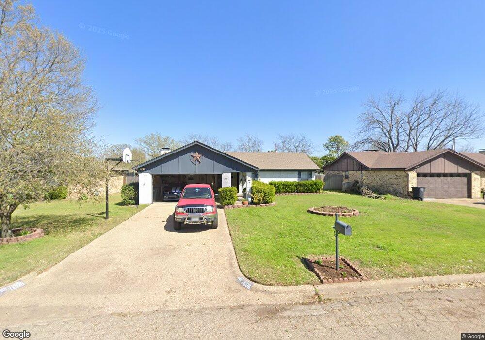
1606 Spring Branch Dr Cleburne, TX 76033
Estimated Value: $242,000 - $254,000
3
Beds
2
Baths
1,379
Sq Ft
$179/Sq Ft
Est. Value
About This Home
This home is located at 1606 Spring Branch Dr, Cleburne, TX 76033 and is currently estimated at $247,182, approximately $179 per square foot. 1606 Spring Branch Dr is a home located in Johnson County with nearby schools including Marti Elementary School, A.D. Wheat Middle School, and Cleburne High School.
Ownership History
Date
Name
Owned For
Owner Type
Purchase Details
Closed on
Apr 30, 2013
Sold by
Johnson Jeanette
Bought by
Johnson David Allen
Current Estimated Value
Purchase Details
Closed on
Aug 7, 2009
Sold by
Johnson Billy F
Bought by
Johnson David Allen
Purchase Details
Closed on
Jun 29, 2007
Sold by
Soules Dammon and Soules Jennifer
Bought by
Johnson Billy F and Johnson Jeanette
Home Financials for this Owner
Home Financials are based on the most recent Mortgage that was taken out on this home.
Original Mortgage
$82,400
Outstanding Balance
$51,152
Interest Rate
6.37%
Mortgage Type
New Conventional
Estimated Equity
$196,030
Purchase Details
Closed on
Mar 13, 2006
Sold by
Simms Cecil Craig and Byrd Georgia Leanne
Bought by
Simms Frankie Lee and Simms Frankie L
Create a Home Valuation Report for This Property
The Home Valuation Report is an in-depth analysis detailing your home's value as well as a comparison with similar homes in the area
Home Values in the Area
Average Home Value in this Area
Purchase History
| Date | Buyer | Sale Price | Title Company |
|---|---|---|---|
| Johnson David Allen | -- | None Available | |
| Johnson David Allen | -- | None Available | |
| Johnson Billy F | -- | Rtt | |
| Simms Frankie Lee | -- | None Available |
Source: Public Records
Mortgage History
| Date | Status | Borrower | Loan Amount |
|---|---|---|---|
| Open | Johnson Billy F | $82,400 |
Source: Public Records
Tax History Compared to Growth
Tax History
| Year | Tax Paid | Tax Assessment Tax Assessment Total Assessment is a certain percentage of the fair market value that is determined by local assessors to be the total taxable value of land and additions on the property. | Land | Improvement |
|---|---|---|---|---|
| 2025 | $3,267 | $305,099 | $44,000 | $261,099 |
| 2024 | $4,645 | $208,338 | $0 | $0 |
| 2023 | $2,867 | $260,080 | $44,000 | $216,080 |
| 2022 | $4,309 | $207,490 | $37,750 | $169,740 |
| 2021 | $4,084 | $165,097 | $34,000 | $131,097 |
| 2020 | $3,943 | $142,297 | $25,000 | $117,297 |
| 2019 | $3,952 | $142,297 | $25,000 | $117,297 |
| 2018 | $3,594 | $121,598 | $25,000 | $96,598 |
| 2017 | $3,501 | $127,024 | $25,000 | $102,024 |
| 2016 | $3,183 | $120,722 | $15,000 | $105,722 |
| 2015 | $2,079 | $104,968 | $15,000 | $89,968 |
| 2014 | $2,079 | $89,355 | $15,000 | $74,355 |
Source: Public Records
Map
Nearby Homes
- 1713 Spring Branch Dr
- 2205 Towne North Dr
- 2003 Pebblecreek Dr
- 1503 Old Bridge Rd
- 1609 River Bend Rd
- 1401 Old Bridge Rd
- 2209 N Nolan River Rd
- 1312 Southern Blvd
- 1403 Roberts Ave
- 1309 Manor Dr
- 1413 Phillips St
- 1300 Holly St
- 1401 Quail Creek Dr
- 1400 Dry Creek Dr
- 1102 Holly St
- Iverson 1 Plan at Trail Creek
- Sherwood Plan at Trail Creek
- Devin Plan at Trail Creek
- Newcastle Plan at Trail Creek
- Hanover Plan at Trail Creek
- 1608 Spring Branch Dr
- 1604 Spring Branch Dr
- 1700 Spring Branch Dr
- 1602 Spring Branch Dr
- 1601 Morningside Dr
- 1519 Morningside Dr
- 1521 Morningside Dr
- 1607 Spring Branch Dr
- 1605 Spring Branch Dr
- 1603 Morningside Dr
- 1517 Morningside Dr
- 1702 Spring Branch Dr
- 1600 Spring Branch Dr
- 1603 Spring Branch Dr
- 1701 Spring Branch Dr
- 1515 Morningside Dr
- 1601 Spring Branch Dr
- 1703 Spring Branch Dr
- 1704 Spring Branch Dr
- 1513 Morningside Dr