16061 Ae Mullinix Rd Woodbine, MD 21797
Estimated Value: $388,000
4
Beds
3
Baths
1,836
Sq Ft
$211/Sq Ft
Est. Value
About This Home
This home is located at 16061 Ae Mullinix Rd, Woodbine, MD 21797 and is currently priced at $388,000, approximately $211 per square foot. 16061 Ae Mullinix Rd is a home located in Howard County with nearby schools including Lisbon Elementary School, Glenwood Middle School, and Glenelg High School.
Ownership History
Date
Name
Owned For
Owner Type
Purchase Details
Closed on
May 17, 2012
Sold by
Mccuan Farms Llc
Bought by
Argeroploss Estates Llc
Current Estimated Value
Home Financials for this Owner
Home Financials are based on the most recent Mortgage that was taken out on this home.
Original Mortgage
$1,600,000
Outstanding Balance
$1,108,560
Interest Rate
3.9%
Mortgage Type
Purchase Money Mortgage
Purchase Details
Closed on
Feb 23, 2005
Sold by
Putman Darrell E
Bought by
Mccuan Farms Llc
Purchase Details
Closed on
Nov 16, 1999
Sold by
Putman Darrell E
Bought by
Putman Darrell E and Murphy Shaleen D
Create a Home Valuation Report for This Property
The Home Valuation Report is an in-depth analysis detailing your home's value as well as a comparison with similar homes in the area
Home Values in the Area
Average Home Value in this Area
Purchase History
| Date | Buyer | Sale Price | Title Company |
|---|---|---|---|
| Argeroploss Estates Llc | $2,000,000 | Nations Title Of Maryland In | |
| Mccuan Farms Llc | $2,350,000 | -- | |
| Mccuan Farms Llc | $2,350,000 | -- | |
| Putman Darrell E | -- | -- |
Source: Public Records
Mortgage History
| Date | Status | Borrower | Loan Amount |
|---|---|---|---|
| Open | Argeroploss Estates Llc | $1,600,000 | |
| Closed | Argeroploss Estates Llc | $1,600,000 |
Source: Public Records
Tax History Compared to Growth
Tax History
| Year | Tax Paid | Tax Assessment Tax Assessment Total Assessment is a certain percentage of the fair market value that is determined by local assessors to be the total taxable value of land and additions on the property. | Land | Improvement |
|---|---|---|---|---|
| 2025 | $2,227 | $138,200 | $33,400 | $104,800 |
| 2024 | $2,227 | $130,333 | $0 | $0 |
| 2023 | $2,275 | $122,467 | $0 | $0 |
| 2022 | $5,084 | $451,500 | $213,900 | $237,600 |
| 2021 | $6,707 | $451,500 | $213,900 | $237,600 |
| 2020 | $6,707 | $451,500 | $213,900 | $237,600 |
| 2019 | $7,838 | $534,900 | $232,900 | $302,000 |
| 2018 | $7,194 | $534,900 | $232,900 | $302,000 |
| 2017 | $7,168 | $534,900 | $0 | $0 |
| 2016 | -- | $685,700 | $0 | $0 |
| 2015 | -- | $685,700 | $0 | $0 |
| 2014 | -- | $685,700 | $0 | $0 |
Source: Public Records
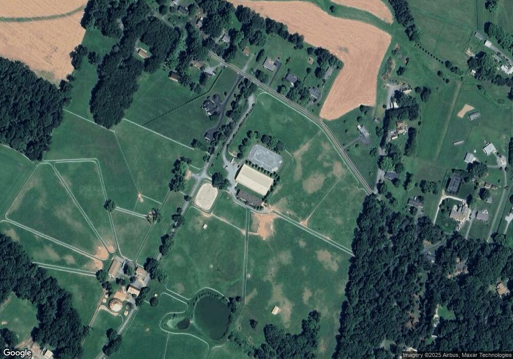
Map
Nearby Homes
- 0 Duvall Rd Unit MDHW2049414
- 15606 Bushy Park Rd
- 1840 Daisy Rd
- 15884 Union Chapel Rd
- 15948 Union Chapel Rd
- 15746 Union Chapel Rd
- 15740 Union Chapel Rd
- 16013 Pheasant Ridge Ct
- 3185 Florence Rd
- 15501 Bushy Tail Run
- 15521 Foxpaw Trail NW
- 1656 Daisy Rd
- 15620 Linden Grove Ln
- 16449 Ed Warfield Rd
- 16020 Fields End Ct
- 16480 Ed Warfield Rd
- 16013 Fields End Ct
- 16005 Fields End Ct
- 15051 Scottswood Ct
- 15300 Doe Hill Ct
- 16061 A E Mullinix Rd
- 16063 Ae Mullinix Rd
- 16063 A E Mullinix Rd
- 16065 Ae Mullinix Rd
- 16061 Mullinix Road Parcel A
- 16030 A E Mullinix Rd
- 16000 Ae Mullinix Rd
- 16030 Ae Mullinix Rd
- 15992 Ae Mullinix Rd
- 16038 A E Mullinix Rd
- 16038 Ae Mullinix Rd
- 16071 Ae Mullinix Rd
- 16062 Ae Mullinix Rd
- 15930 Ae Mullinix Rd
- 16066 Ae Mullinix Rd
- 16066 A E Mullinix Rd
- 15929 Ae Mullinix Rd
- 15929 A E Mullinix Rd
- 15940 Ae Mullinix Rd
- 15926 Ae Mullinix Rd