16061 Cherokee Rd Brooksville, FL 34601
Estimated Value: $526,000 - $938,604
3
Beds
2
Baths
2,133
Sq Ft
$334/Sq Ft
Est. Value
About This Home
This home is located at 16061 Cherokee Rd, Brooksville, FL 34601 and is currently estimated at $713,401, approximately $334 per square foot. 16061 Cherokee Rd is a home located in Hernando County with nearby schools including Brooksville Elementary School, Hernando High School, and D. S. Parrott Middle School.
Ownership History
Date
Name
Owned For
Owner Type
Purchase Details
Closed on
Aug 16, 2024
Sold by
Ashton Dale M and Ashton Kimmarie
Bought by
Dale M Ashton And Kimmarie Ashton Joint Revoc and Ashton
Current Estimated Value
Purchase Details
Closed on
Jul 20, 2018
Sold by
Foreman Michael A and Foreman Michelle
Bought by
Ashton Dale and Ashton Kimmarie
Purchase Details
Closed on
Oct 25, 2013
Sold by
White Roxy and White Cheri
Bought by
Foreman Michael and Foreman Michelle
Purchase Details
Closed on
Jan 9, 2004
Sold by
Burke Susan E and Borge Susan
Bought by
Foreman Michael A and Foreman Michelle
Home Financials for this Owner
Home Financials are based on the most recent Mortgage that was taken out on this home.
Original Mortgage
$128,000
Interest Rate
5.85%
Create a Home Valuation Report for This Property
The Home Valuation Report is an in-depth analysis detailing your home's value as well as a comparison with similar homes in the area
Purchase History
| Date | Buyer | Sale Price | Title Company |
|---|---|---|---|
| Dale M Ashton And Kimmarie Ashton Joint Revoc | $100 | None Listed On Document | |
| Ashton Dale | $70,000 | Gulf Coast Title Co Inc | |
| Foreman Michael | -- | Attorney | |
| Foreman Michael A | $160,000 | -- |
Source: Public Records
Mortgage History
| Date | Status | Borrower | Loan Amount |
|---|---|---|---|
| Previous Owner | Foreman Michael A | $128,000 |
Source: Public Records
Tax History
| Year | Tax Paid | Tax Assessment Tax Assessment Total Assessment is a certain percentage of the fair market value that is determined by local assessors to be the total taxable value of land and additions on the property. | Land | Improvement |
|---|---|---|---|---|
| 2025 | $6,664 | $473,971 | -- | -- |
| 2024 | $6,606 | $460,613 | -- | -- |
| 2023 | $6,606 | $447,197 | $0 | $0 |
| 2022 | $6,528 | $434,172 | $0 | $0 |
| 2021 | $6,268 | $421,526 | $0 | $0 |
| 2020 | $1,127 | $65,375 | $55,775 | $9,600 |
| 2019 | $1,006 | $55,775 | $55,775 | $0 |
| 2018 | $659 | $42,900 | $42,900 | $0 |
| 2017 | $701 | $39,000 | $39,000 | $0 |
| 2016 | $644 | $36,000 | $0 | $0 |
| 2015 | $653 | $36,000 | $0 | $0 |
| 2014 | $1,334 | $68,703 | $0 | $0 |
Source: Public Records
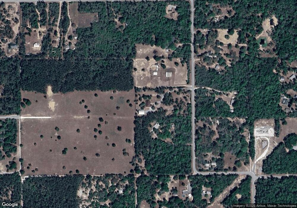
Map
Nearby Homes
- 16362 Cherokee Rd
- 26262 Lake Lindsey Rd
- 25924 Whipperwill St
- 27047 Hiawatha Blvd
- 27080 Hiawatha Blvd
- 16481 Oakview Dr
- 13496 S Oakview Ave
- 28049 Sewickley St
- 12672 S Oakview Ave
- 13140 S Thexa Terrace
- 12262 S Oakview Ave
- 12480 S Fern Point
- 6838 E Oak Forest St
- 0 SW 64th Ave Unit G5054183
- 16330 Daviston Ln
- 28330 Peterson Camp Rd
- 12092 S Hyacinth Point
- 0 Lucilles Shady Ln
- 26250 Blackjack St
- 15070 Lucilles Shady Ln
- 16027 Cherokee Rd
- 16097 Cherokee Rd
- 15995 Cherokee Rd
- 16135 Cherokee Rd
- 16028 Cherokee Rd
- 26228 Alamo Rd
- 1 Alamo Rd
- 16108 Cherokee Rd
- 16100 Cherokee Rd
- 16070 Cherokee Rd
- Cherokee Rd
- 26166 Comanche St
- 16128 Cherokee Rd
- 26281 Alamo Rd
- 26220 Alamo Rd
- 16179 Cherokee Rd
- 26240 Road
- 26240 Alamo Rd
- 26244 Alamo Rd
- 16096 Cherokee Rd
Your Personal Tour Guide
Ask me questions while you tour the home.