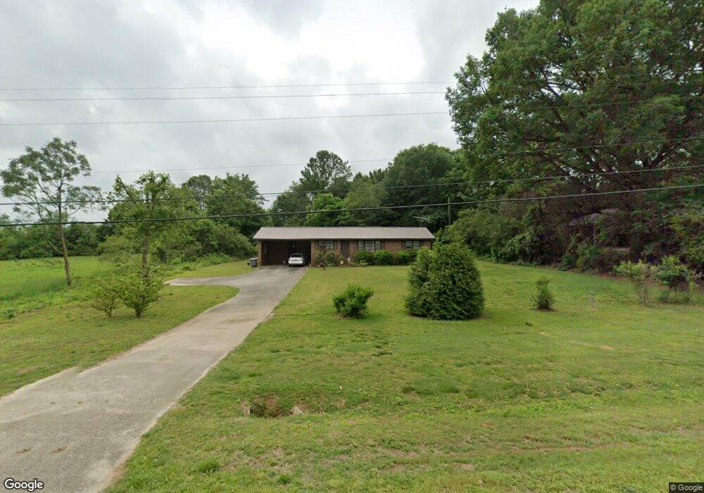
16067 Highway 59 Carnesville, GA 30521
Estimated Value: $148,000 - $158,783
--
Bed
1
Bath
1,150
Sq Ft
$133/Sq Ft
Est. Value
About This Home
This home is located at 16067 Highway 59, Carnesville, GA 30521 and is currently estimated at $152,446, approximately $132 per square foot. 16067 Highway 59 is a home located in Franklin County with nearby schools including Franklin County High School.
Ownership History
Date
Name
Owned For
Owner Type
Purchase Details
Closed on
Feb 8, 2024
Sold by
Westbrook Diane
Bought by
Parten Carolyn B
Current Estimated Value
Home Financials for this Owner
Home Financials are based on the most recent Mortgage that was taken out on this home.
Original Mortgage
$115,000
Outstanding Balance
$112,987
Interest Rate
6.66%
Mortgage Type
New Conventional
Estimated Equity
$39,459
Purchase Details
Closed on
Jun 14, 1977
Sold by
Westbrook William E
Bought by
Westbrook Diane
Create a Home Valuation Report for This Property
The Home Valuation Report is an in-depth analysis detailing your home's value as well as a comparison with similar homes in the area
Home Values in the Area
Average Home Value in this Area
Purchase History
| Date | Buyer | Sale Price | Title Company |
|---|---|---|---|
| Parten Carolyn B | $145,000 | -- | |
| Westbrook Diane | -- | -- |
Source: Public Records
Mortgage History
| Date | Status | Borrower | Loan Amount |
|---|---|---|---|
| Open | Parten Carolyn B | $115,000 |
Source: Public Records
Tax History Compared to Growth
Tax History
| Year | Tax Paid | Tax Assessment Tax Assessment Total Assessment is a certain percentage of the fair market value that is determined by local assessors to be the total taxable value of land and additions on the property. | Land | Improvement |
|---|---|---|---|---|
| 2024 | $635 | $43,441 | $2,638 | $40,803 |
| 2023 | $628 | $41,151 | $2,398 | $38,753 |
| 2022 | $513 | $37,071 | $1,856 | $35,215 |
| 2021 | $419 | $33,048 | $1,856 | $31,192 |
| 2020 | $499 | $25,918 | $1,856 | $24,062 |
| 2019 | $484 | $25,918 | $1,856 | $24,062 |
| 2018 | $402 | $23,136 | $2,371 | $20,765 |
| 2017 | $416 | $23,136 | $2,371 | $20,765 |
| 2016 | $328 | $19,864 | $2,371 | $17,493 |
| 2015 | -- | $19,864 | $2,371 | $17,493 |
| 2014 | -- | $18,845 | $2,371 | $16,474 |
| 2013 | -- | $19,161 | $2,371 | $16,790 |
Source: Public Records
Map
Nearby Homes
- 7 Crest View Cir
- 110 Adaline Ct
- 210 Nora Moss Ln
- 735 Bowersville Rd
- 5821 Georgia 320
- 7690 Royston Rd
- 0 Manley St Unit 10611784
- 10170 Lavonia Rd
- 340 Telford Rd
- 228 Franklin Hills Dr
- 228 Franklin Hills Dr Unit B14
- 110 Telford Rd
- 1845 Old Stagecoach Rd
- 0 Turkey Creek Rd Unit 10589237
- 2556 Turkey Creek Rd
- 0 Georgia 198
- 456 Aderhold Rd
- 1079 Hardeman Farm Rd
- 499 Aderhold Rd
- 00 Hall Carson Rd
- 16067 Georgia 59
- 16020 Georgia 59
- 16020 Highway 59
- 328 Cross Roads Ln
- 1 Highway 59
- 16000 Highway 59
- 16000 Georgia 59
- 16144 Highway 59
- 214 Crest View Dr
- 0 Hwy 320 at I-85
- 210 Crest View Dr
- 0 Georgia 320 Unit 7368733
- 0 Georgia 320 Unit 7160046
- 0 Georgia 320 Unit 7234704
- 0 Georgia 320 Unit 20126827
- 0 Georgia 320 Unit TRACT 1, & 2 7107315
- 0 Georgia 320
- 15961 Highway 59
- 198 Crest View Dr
- 209 Crest View Dr