1607 Braintree Dr Unit 48 Cincinnati, OH 45255
Estimated Value: $288,000 - $345,860
3
Beds
4
Baths
1,886
Sq Ft
$166/Sq Ft
Est. Value
About This Home
This home is located at 1607 Braintree Dr Unit 48, Cincinnati, OH 45255 and is currently estimated at $313,715, approximately $166 per square foot. 1607 Braintree Dr Unit 48 is a home located in Hamilton County with nearby schools including Sherwood Elementary School, Nagel Middle School, and Turpin High School.
Ownership History
Date
Name
Owned For
Owner Type
Purchase Details
Closed on
Oct 29, 2007
Sold by
Burns Margaret K and Burns Jeffrey
Bought by
Bailey Maria
Current Estimated Value
Home Financials for this Owner
Home Financials are based on the most recent Mortgage that was taken out on this home.
Original Mortgage
$67,000
Interest Rate
6.44%
Mortgage Type
Unknown
Purchase Details
Closed on
Feb 8, 2002
Sold by
Morrissey Janet C and Morrissey Janet C
Bought by
Burns Margaret K
Home Financials for this Owner
Home Financials are based on the most recent Mortgage that was taken out on this home.
Original Mortgage
$100,000
Interest Rate
7.14%
Mortgage Type
Unknown
Create a Home Valuation Report for This Property
The Home Valuation Report is an in-depth analysis detailing your home's value as well as a comparison with similar homes in the area
Home Values in the Area
Average Home Value in this Area
Purchase History
| Date | Buyer | Sale Price | Title Company |
|---|---|---|---|
| Bailey Maria | $182,000 | Oxford Title Agency Inc | |
| Burns Margaret K | $125,000 | -- |
Source: Public Records
Mortgage History
| Date | Status | Borrower | Loan Amount |
|---|---|---|---|
| Open | Bailey Maria | $67,000 |
Source: Public Records
Tax History Compared to Growth
Tax History
| Year | Tax Paid | Tax Assessment Tax Assessment Total Assessment is a certain percentage of the fair market value that is determined by local assessors to be the total taxable value of land and additions on the property. | Land | Improvement |
|---|---|---|---|---|
| 2024 | $5,192 | $81,918 | $11,550 | $70,368 |
| 2023 | $4,873 | $81,918 | $11,550 | $70,368 |
| 2022 | $3,945 | $60,726 | $9,041 | $51,685 |
| 2021 | $3,855 | $60,726 | $9,041 | $51,685 |
| 2020 | $3,895 | $60,726 | $9,041 | $51,685 |
| 2019 | $3,491 | $49,371 | $7,350 | $42,021 |
| 2018 | $3,270 | $49,371 | $7,350 | $42,021 |
| 2017 | $3,087 | $49,371 | $7,350 | $42,021 |
| 2016 | $2,875 | $44,888 | $7,403 | $37,485 |
| 2015 | $2,790 | $44,888 | $7,403 | $37,485 |
| 2014 | $2,792 | $44,888 | $7,403 | $37,485 |
| 2013 | $2,933 | $49,875 | $8,225 | $41,650 |
Source: Public Records
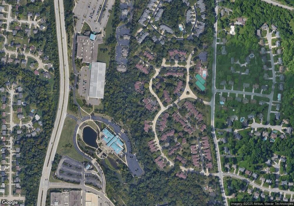
Map
Nearby Homes
- 1629 Cohasset Dr
- 1502 Cohasset Dr Unit 91
- 7633 Brannon Dr
- 1419 Wolfangel Rd
- 1359 Plazaview Ct
- 1353 Crotty Ct
- 1714 Emerald Glade Ln Unit 5E
- 1489 Great Oak Dr
- 7748 State Rd
- 1624 Huntcrest Dr
- 1391 Collinsdale Ave
- 7827 State Rd
- 1452 Verdale Dr
- 1735 Collinspark Ct
- 7114 Paddison Rd
- 1721 Stonehouse Ln
- 1967 Wolfangel Rd
- 7443 Towerview Ln
- 7053 Paddison Rd
- 7027 Paddison Rd
- 1594 Cohasset Dr Unit 28
- 1590 Cohasset Dr Unit 26
- 1611 Braintree Dr Unit 50
- 1601 Braintree Dr Unit 45
- 1615 Braintree Dr Unit 52
- 1617 Braintree Dr Unit 53
- 1606 Cohasset Dr
- 1605 Braintree Dr
- 1592 Cohasset Dr
- 1612 Cohasset Dr
- 1604 Cohasset Dr
- 1602 Cohasset Dr
- 1596 Cohasset Dr
- 1612 Cohasset Dr Unit 36
- 1628 Cohasset Dr Unit 44
- 1626 Cohasset Dr Unit 43
- 1598 Cohasset Dr
- 1624 Cohasset Dr Unit 42
- 1623 Cohasset Dr
- 1622 Cohasset Dr