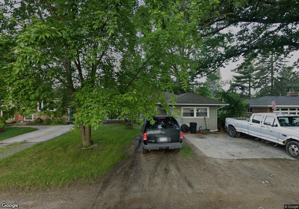
1607 Ladd Rd Wolverine Lake, MI 48390
Estimated Value: $222,000 - $267,000
3
Beds
1
Bath
1,308
Sq Ft
$188/Sq Ft
Est. Value
About This Home
This home is located at 1607 Ladd Rd, Wolverine Lake, MI 48390 and is currently estimated at $245,270, approximately $187 per square foot. 1607 Ladd Rd is a home located in Oakland County with nearby schools including Loon Lake Elementary School, Sarah G. Banks Middle School, and Walled Lake Central High School.
Ownership History
Date
Name
Owned For
Owner Type
Purchase Details
Closed on
Sep 7, 2010
Sold by
Federal Home Loan Mortgage Corporation
Bought by
Pnc Mortgage
Current Estimated Value
Purchase Details
Closed on
Dec 15, 2009
Sold by
Williams Chad C and Williams Kelley K
Bought by
Federal Home Loan Mortgage Corp
Purchase Details
Closed on
Feb 22, 2000
Sold by
Mcnutt Michelle M
Bought by
Williams Chad C
Home Financials for this Owner
Home Financials are based on the most recent Mortgage that was taken out on this home.
Original Mortgage
$100,700
Interest Rate
8.26%
Purchase Details
Closed on
Oct 1, 1998
Sold by
Burnett James W
Bought by
Mcnutt Michelle M
Create a Home Valuation Report for This Property
The Home Valuation Report is an in-depth analysis detailing your home's value as well as a comparison with similar homes in the area
Home Values in the Area
Average Home Value in this Area
Purchase History
| Date | Buyer | Sale Price | Title Company |
|---|---|---|---|
| Pnc Mortgage | -- | None Available | |
| Federal Home Loan Mortgage Corp | $163,777 | None Available | |
| Williams Chad C | $126,000 | -- | |
| Mcnutt Michelle M | $95,000 | -- |
Source: Public Records
Mortgage History
| Date | Status | Borrower | Loan Amount |
|---|---|---|---|
| Previous Owner | Williams Chad C | $100,700 | |
| Closed | Mcnutt Michelle M | -- |
Source: Public Records
Tax History
| Year | Tax Paid | Tax Assessment Tax Assessment Total Assessment is a certain percentage of the fair market value that is determined by local assessors to be the total taxable value of land and additions on the property. | Land | Improvement |
|---|---|---|---|---|
| 2025 | $1,319 | $95,270 | $0 | $0 |
| 2024 | $1,601 | $90,840 | $0 | $0 |
| 2023 | $1,526 | $84,560 | $0 | $0 |
| 2022 | $1,791 | $74,820 | $0 | $0 |
| 2021 | $1,754 | $69,440 | $0 | $0 |
| 2020 | $1,459 | $66,050 | $0 | $0 |
| 2019 | $1,101 | $61,140 | $0 | $0 |
| 2018 | $1,659 | $52,460 | $0 | $0 |
| 2017 | $1,636 | $52,460 | $0 | $0 |
| 2016 | $1,615 | $52,390 | $0 | $0 |
| 2015 | -- | $46,590 | $0 | $0 |
| 2014 | -- | $38,160 | $0 | $0 |
| 2011 | -- | $36,800 | $0 | $0 |
Source: Public Records
Map
Nearby Homes
- 946 Dunreath St
- 1148 Lakeview Dr
- 853 Adelaide Dr
- 969 Dunreath St
- 743 Dunreath St
- 688 Wolverine Dr
- 1611 Andover Cir
- 1179 Andover Cir Unit 48
- 1104 Andover Cir Unit 92
- 2236 Mentone St
- 1268 Amarillo St
- 2000 Twin Sun Cir
- 1747 Shankin Dr
- 1476 Turner Dr Unit 3
- 2041 W Maple Rd
- 1490 Turner Dr Unit 2
- 1472 Turner Dr Unit 4
- 1496 Turner Dr Unit 1
- 1625 Mccoy St
- 1076 Benstein Rd
- 1615 Ladd Rd
- 1595 Ladd Rd
- 1646 Meadowlane St
- 1652 Meadowlane St
- 1630 Meadowlane St
- 1591 Ladd Rd
- 1660 Meadowlane St
- 1620 Meadowlane St
- 1655 Ladd Rd
- 1610 Ladd Rd
- 1643 Meadowlane St
- 1676 Meadowlane St
- 1650 Ladd Rd
- 1576 Ladd Rd
- 1691 Ladd Rd
- 1625 Meadowlane St
- 1655 Meadowlane St
- 1603 Meadowlane St
- 1658 Ladd Rd
- 1572 Ladd Rd
Your Personal Tour Guide
Ask me questions while you tour the home.