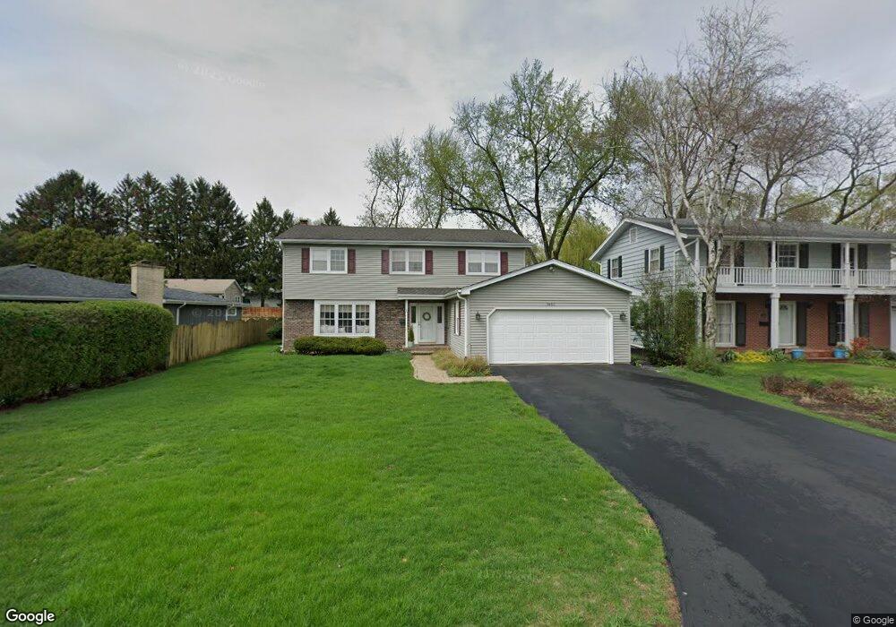
1607 Mayo Ave Wheaton, IL 60189
West Wheaton NeighborhoodEstimated Value: $603,000 - $712,000
Studio
1
Bath
2,531
Sq Ft
$252/Sq Ft
Est. Value
About This Home
This home is located at 1607 Mayo Ave, Wheaton, IL 60189 and is currently estimated at $637,333, approximately $251 per square foot. 1607 Mayo Ave is a home located in DuPage County with nearby schools including Madison Elementary School, Edison Middle School, and Wheaton Warrenville South High School.
Ownership History
Date
Name
Owned For
Owner Type
Purchase Details
Closed on
Jul 25, 2006
Sold by
Crabtree James and James Crabtree Trust
Bought by
Mcbride Robert and Mcbride Kathryn
Current Estimated Value
Home Financials for this Owner
Home Financials are based on the most recent Mortgage that was taken out on this home.
Original Mortgage
$345,320
Outstanding Balance
$206,926
Interest Rate
6.82%
Mortgage Type
Purchase Money Mortgage
Estimated Equity
$430,407
Purchase Details
Closed on
Jun 28, 2000
Sold by
Crabtree Martin J and Crabtree Susan B
Bought by
Crabtree James and James Crabtree Trust
Create a Home Valuation Report for This Property
The Home Valuation Report is an in-depth analysis detailing your home's value as well as a comparison with similar homes in the area
Home Values in the Area
Average Home Value in this Area
Purchase History
| Date | Buyer | Sale Price | Title Company |
|---|---|---|---|
| Mcbride Robert | $485,000 | Atg | |
| Crabtree James | -- | -- |
Source: Public Records
Mortgage History
| Date | Status | Borrower | Loan Amount |
|---|---|---|---|
| Open | Mcbride Robert | $345,320 |
Source: Public Records
Tax History
| Year | Tax Paid | Tax Assessment Tax Assessment Total Assessment is a certain percentage of the fair market value that is determined by local assessors to be the total taxable value of land and additions on the property. | Land | Improvement |
|---|---|---|---|---|
| 2024 | $10,342 | $168,457 | $35,156 | $133,301 |
| 2023 | $9,938 | $155,060 | $32,360 | $122,700 |
| 2022 | $9,733 | $146,540 | $30,580 | $115,960 |
| 2021 | $9,700 | $143,060 | $29,850 | $113,210 |
| 2020 | $9,671 | $141,730 | $29,570 | $112,160 |
| 2019 | $9,449 | $137,990 | $28,790 | $109,200 |
| 2018 | $9,888 | $142,520 | $27,130 | $115,390 |
| 2017 | $9,742 | $137,260 | $26,130 | $111,130 |
| 2016 | $9,614 | $131,780 | $25,090 | $106,690 |
| 2015 | $9,542 | $125,720 | $23,940 | $101,780 |
| 2014 | $9,350 | $121,310 | $21,820 | $99,490 |
| 2013 | $9,109 | $121,680 | $21,890 | $99,790 |
Source: Public Records
Map
Nearby Homes
- 1974 Wexford Cir Unit 123
- 1110 S Gables Blvd
- Lot 1 Foothill Dr
- 2043 Spring Green Dr
- 1601 W Wiesbrook Rd
- 1474 Timber Trail Unit D
- 1605 Burning Trail
- 1420 Stonebridge Trail Unit 1-3
- 2099 Creekside Dr Unit 1-4
- 615 Polo Dr
- 1028 Lodalia Ct
- 1620 Hemstock Ave
- 1021 Greenwood Dr
- 1442 Stonebridge Cir Unit I8
- 1462 Stonebridge Cir Unit F10
- 1612 Stonebridge Trail
- 1533 S County Farm Rd Unit 1-4
- 1219 Golf Ln
- 833 Parkside Dr
- 107 N Pierce Ave
- 1603 Mayo Ave
- 1611 Mayo Ave
- 1523 Mayo Ave
- 1606 Center Ave
- 1602 Center Ave
- 1519 Mayo Ave
- 1610 Center Ave
- 1522 Center Ave
- 1522 Mayo Ave
- 1518 Center Ave
- 1515 Mayo Ave
- 1518 Mayo Ave
- 1514 Center Ave
- 1511 Mayo Ave
- 1222 Westhaven Dr
- 1514 Mayo Ave
- 1527 Center Ave
- 1603 Center Ave
- 1218 Westhaven Dr
- 1510 Center Ave
Your Personal Tour Guide
Ask me questions while you tour the home.