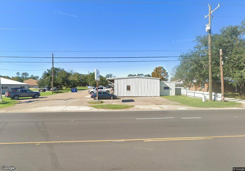
1607 N Morrison Blvd Unit E Hammond, LA 70401
Estimated Value: $842,772
Studio
--
Bath
2,353
Sq Ft
$358/Sq Ft
Est. Value
About This Home
This home is located at 1607 N Morrison Blvd Unit E, Hammond, LA 70401 and is currently estimated at $842,772, approximately $358 per square foot. 1607 N Morrison Blvd Unit E is a home located in Tangipahoa Parish with nearby schools including Hammond Westside Montessori, Hammond High Magnet School, and University Montessori School Hammond.
Ownership History
Date
Name
Owned For
Owner Type
Purchase Details
Closed on
Jan 10, 2025
Sold by
Caroniel Enterprises Llc
Bought by
Chief Investments Llc
Current Estimated Value
Home Financials for this Owner
Home Financials are based on the most recent Mortgage that was taken out on this home.
Original Mortgage
$624,000
Outstanding Balance
$616,857
Interest Rate
6.81%
Mortgage Type
New Conventional
Estimated Equity
$225,915
Create a Home Valuation Report for This Property
The Home Valuation Report is an in-depth analysis detailing your home's value as well as a comparison with similar homes in the area
Home Values in the Area
Average Home Value in this Area
Purchase History
| Date | Buyer | Sale Price | Title Company |
|---|---|---|---|
| Chief Investments Llc | $780,000 | Select Title Llc |
Source: Public Records
Mortgage History
| Date | Status | Borrower | Loan Amount |
|---|---|---|---|
| Open | Chief Investments Llc | $624,000 |
Source: Public Records
Tax History
| Year | Tax Paid | Tax Assessment Tax Assessment Total Assessment is a certain percentage of the fair market value that is determined by local assessors to be the total taxable value of land and additions on the property. | Land | Improvement |
|---|---|---|---|---|
| 2025 | $6,816 | $81,930 | $0 | $81,930 |
| 2024 | $3,584 | $43,293 | $16,408 | $26,885 |
| 2023 | $3,517 | $42,077 | $15,193 | $26,884 |
| 2022 | $3,517 | $42,077 | $15,193 | $26,884 |
| 2021 | $4,406 | $42,077 | $15,193 | $26,884 |
| 2020 | $4,401 | $42,077 | $15,193 | $26,884 |
| 2019 | $4,389 | $42,077 | $15,193 | $26,884 |
| 2018 | $4,402 | $42,077 | $15,193 | $26,884 |
| 2017 | $4,402 | $42,077 | $15,193 | $26,884 |
| 2016 | $4,402 | $42,077 | $15,193 | $26,884 |
| 2015 | $3,865 | $46,213 | $15,193 | $31,020 |
| 2014 | $3,685 | $46,213 | $15,193 | $31,020 |
Source: Public Records
Map
Nearby Homes
- 1901 Cherie Dr
- 1904 N Morrison Blvd
- 1107 W University Ave
- 0 W University Ave
- 4.5 +/- W University Ave
- 0 Martens Dr
- 2107 Cherie Dr
- 1208 W University Ave
- 1008 General Jackson Dr
- 1016 General Jackson Dr
- 0 W University Dr Unit 997390
- 114 Florence Dr
- 14474 University Ave
- 11077 Lawrence Dr
- 118 Sherry Dr
- 1003 W University Ave
- 1604 Western Ave
- - University Dr
- 1607 N Morrison Blvd Unit F
- 1607 N Morrison Blvd Unit B
- 1607 N Morrison Blvd
- 1607 N Morrison Blvd Unit 2
- 1605 N Morrison Blvd Unit A
- 1605 N Morrison Blvd Unit A&B
- 1605 N Morrison Blvd Unit B
- 1605 N Morrison Blvd
- 1801 N Morrison Blvd
- 1603 N Morrison Blvd
- 100 Dee Ann Dr
- 100 Dee Ann Dr Unit 6
- 100 Dee Ann Dr Unit 1
- 107 Muscarello Rd Unit 1
- 109 Muscarello Rd
- 109 E Muscarello Ln Unit CC
- 109 E Muscarello Ln Unit EE
- 109 E Muscarello Ln Unit BB
- 109 E Muscarello Ln Unit AA
- 111 Muscarello Rd
Your Personal Tour Guide
Ask me questions while you tour the home.