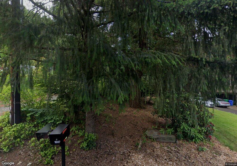
1607 SW Maplecrest Dr Portland, OR 97219
Marshall Park NeighborhoodEstimated Value: $767,000 - $852,000
3
Beds
4
Baths
3,196
Sq Ft
$249/Sq Ft
Est. Value
About This Home
This home is located at 1607 SW Maplecrest Dr, Portland, OR 97219 and is currently estimated at $796,863, approximately $249 per square foot. 1607 SW Maplecrest Dr is a home located in Multnomah County with nearby schools including Stephenson Elementary School, Jackson Middle School, and Ida B. Wells-Barnett High School.
Ownership History
Date
Name
Owned For
Owner Type
Purchase Details
Closed on
Aug 24, 2005
Sold by
Bell Joseph L
Bought by
Gallatin Brenton and Gallatin Ondine
Current Estimated Value
Home Financials for this Owner
Home Financials are based on the most recent Mortgage that was taken out on this home.
Original Mortgage
$303,200
Outstanding Balance
$157,763
Interest Rate
5.61%
Mortgage Type
Fannie Mae Freddie Mac
Estimated Equity
$639,100
Purchase Details
Closed on
Mar 17, 1998
Sold by
Purdum Carroll C
Bought by
Bell Joseph L
Purchase Details
Closed on
Mar 19, 1996
Sold by
Webb Pamela
Bought by
Bell Joseph Lawrence
Create a Home Valuation Report for This Property
The Home Valuation Report is an in-depth analysis detailing your home's value as well as a comparison with similar homes in the area
Home Values in the Area
Average Home Value in this Area
Purchase History
| Date | Buyer | Sale Price | Title Company |
|---|---|---|---|
| Gallatin Brenton | $379,000 | First American | |
| Bell Joseph L | $267,650 | Fidelity National Title Co | |
| Bell Joseph Lawrence | $63,000 | Ticor Title Insurance |
Source: Public Records
Mortgage History
| Date | Status | Borrower | Loan Amount |
|---|---|---|---|
| Open | Gallatin Brenton | $303,200 |
Source: Public Records
Tax History Compared to Growth
Tax History
| Year | Tax Paid | Tax Assessment Tax Assessment Total Assessment is a certain percentage of the fair market value that is determined by local assessors to be the total taxable value of land and additions on the property. | Land | Improvement |
|---|---|---|---|---|
| 2025 | $12,001 | $445,800 | -- | -- |
| 2024 | $11,569 | $432,820 | -- | -- |
| 2023 | $11,125 | $420,220 | $0 | $0 |
| 2022 | $10,884 | $407,990 | $0 | $0 |
| 2021 | $10,375 | $396,110 | $0 | $0 |
| 2020 | $8,892 | $384,580 | $0 | $0 |
| 2019 | $8,991 | $373,380 | $0 | $0 |
| 2018 | $8,878 | $362,510 | $0 | $0 |
| 2017 | $8,783 | $351,960 | $0 | $0 |
| 2016 | $7,575 | $341,710 | $0 | $0 |
| 2015 | $7,319 | $331,760 | $0 | $0 |
| 2014 | $6,674 | $322,100 | $0 | $0 |
Source: Public Records
Map
Nearby Homes
- 0 SW Lancaster Rd Unit 722439051
- 0 SW Lancaster Rd Unit 540028719
- 9855 SW 25th Ave
- 10850 SW Creightonwood Place
- 1845 SW Taylors Ferry Rd
- 2249 SW Taylors Ferry Rd
- 0 SW Taylors Ferry Ct Unit 171663449
- 9375 SW 8th Ave
- 9224 SW 26th Ave
- 9341 SW 8th Ave
- 1345 SW Taylors Ferry Ct
- 2731 SW 28th Dr
- 1035 SW Palatine St
- 9320 SW Boones Ferry Rd
- 8921 SW 7th Ave
- 9818 SW 34th Place
- 9822 SW 34th Place
- 9824 SW 34th Place
- 1515 SW Carson St
- 2531 SW Spring Garden St
- 1611 SW Maplecrest Dr
- 1603 SW Maplecrest Dr
- 10038 SW Balmer Cir
- 10032 SW Balmer Cir
- 10040 SW Balmer Cir
- 1633 SW Maplecrest Dr
- 1551 SW Maplecrest Dr
- 10030 SW Balmer Cir
- 10036 SW Balmer Cir
- 10028 SW Balmer Cir
- 1620 SW Maplecrest Dr
- 1610 SW Maplecrest Dr
- 10276 SW Lancaster Rd
- 10258 SW Lancaster Rd
- 10266 SW Lancaster Rd
- 1640 SW Maplecrest Dr
- 10042 SW Balmer Cir
- 1541 SW Maplecrest Dr
- 1540 SW Maplecrest Dr
- 1828 SW Broadleaf Dr Unit 1