16073 Trapp Hill Rd West Fork, AR 72774
Estimated Value: $229,000 - $789,000
3
Beds
1
Bath
1,125
Sq Ft
$364/Sq Ft
Est. Value
About This Home
This home is located at 16073 Trapp Hill Rd, West Fork, AR 72774 and is currently estimated at $409,116, approximately $363 per square foot. 16073 Trapp Hill Rd is a home located in Washington County with nearby schools including West Fork Elementary School, West Fork Middle School, and West Fork High School.
Ownership History
Date
Name
Owned For
Owner Type
Purchase Details
Closed on
Jun 2, 2003
Sold by
Ellis Mavonna
Bought by
Schulz Michael M and Schulz Jody L
Current Estimated Value
Home Financials for this Owner
Home Financials are based on the most recent Mortgage that was taken out on this home.
Original Mortgage
$77,000
Outstanding Balance
$33,344
Interest Rate
5.74%
Mortgage Type
Purchase Money Mortgage
Estimated Equity
$375,772
Purchase Details
Closed on
Jul 15, 1982
Bought by
Owens Verlon and Owens Doris
Purchase Details
Closed on
Jan 1, 1982
Bought by
Watkins Cont and Watkins Glen C
Create a Home Valuation Report for This Property
The Home Valuation Report is an in-depth analysis detailing your home's value as well as a comparison with similar homes in the area
Home Values in the Area
Average Home Value in this Area
Purchase History
| Date | Buyer | Sale Price | Title Company |
|---|---|---|---|
| Schulz Michael M | $77,000 | Lenders Title Company | |
| Owens Verlon | -- | -- | |
| Watkins Cont | -- | -- |
Source: Public Records
Mortgage History
| Date | Status | Borrower | Loan Amount |
|---|---|---|---|
| Open | Schulz Michael M | $77,000 |
Source: Public Records
Tax History Compared to Growth
Tax History
| Year | Tax Paid | Tax Assessment Tax Assessment Total Assessment is a certain percentage of the fair market value that is determined by local assessors to be the total taxable value of land and additions on the property. | Land | Improvement |
|---|---|---|---|---|
| 2025 | $2,313 | $49,880 | $15,920 | $33,960 |
| 2024 | $691 | $22,400 | $6,940 | $15,460 |
| 2023 | $637 | $22,400 | $6,940 | $15,460 |
| 2022 | $629 | $12,030 | $2,070 | $9,960 |
| 2021 | $585 | $12,030 | $2,070 | $9,960 |
| 2020 | $541 | $12,030 | $2,070 | $9,960 |
| 2019 | $496 | $9,260 | $1,700 | $7,560 |
| 2018 | $496 | $9,260 | $1,700 | $7,560 |
| 2017 | $432 | $9,260 | $1,700 | $7,560 |
| 2016 | $482 | $9,260 | $1,700 | $7,560 |
| 2015 | $432 | $9,260 | $1,700 | $7,560 |
| 2014 | $441 | $9,460 | $3,770 | $5,690 |
Source: Public Records
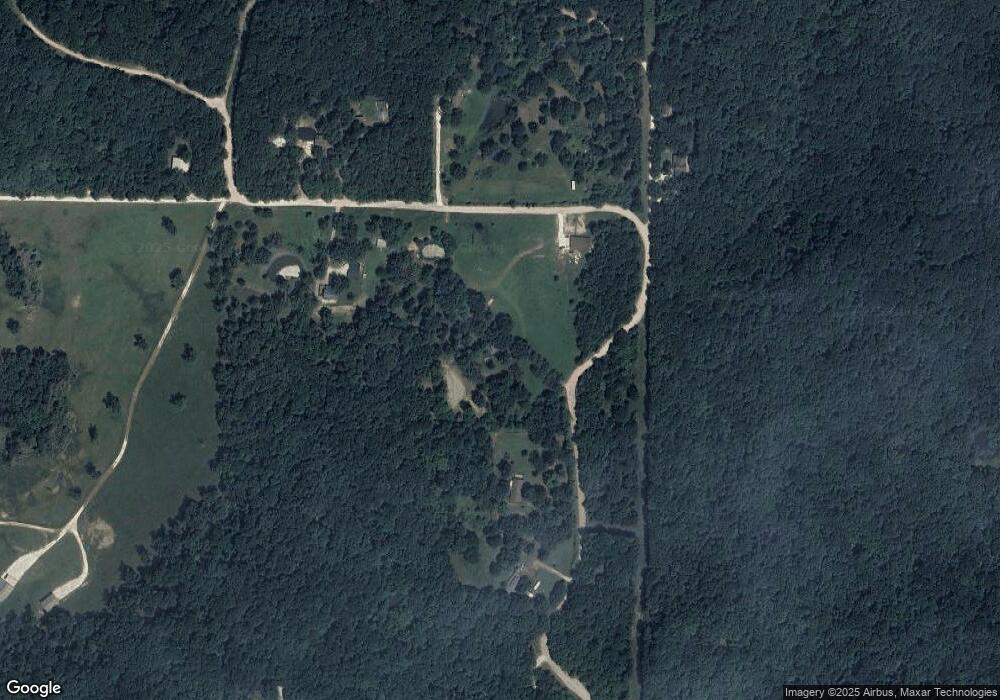
Map
Nearby Homes
- 16977 Holcombe School Rd
- 16891 Holcombe School Rd
- 14516 Friendship Church Rd
- 14931 Friendship Church Rd
- 30.47 Acres Onda Mountain (Wc 213)
- 17952 S Highway 170
- 14648 Director Rd
- 14463 Friendship Church Rd
- 14815 Paulk Rd
- 17300 Bethlehem Rd
- 16293 Arkansas 265
- 18403 S Highway 170
- 12063 W Highway 156
- 14673 Union Star Rd
- 00 Hubbard Rd
- 16291 S Highway 265
- 10768 Wooton Rd
- TBD Zinnamon Church Rd
- 15337 Stagecoach Rd
- 16139 Trapp Rd
- 16045 Trapp Hill Rd
- 16155 Trapp Rd
- 16094 Trapp Hill Rd
- 16073 Trapp Rd
- 16050 Trapp Hill Rd
- 16024 Trapp Hill Rd
- 16311 Trapp Rd
- 15799 Trapp Rd
- 16259 S Highway 170
- 16425 Trapp Rd
- 0 Trapp Hill Rd
- 0 Trapp Hill
- 0 Trapp Rd Unit 462864
- 0 Trapp Rd Unit 472482
- 0 Trapp Rd Unit 475475
- 0 Trapp Rd Unit 501809
- 0 Trapp Rd Unit 1268167
- 0 Trapp Rd Unit 552717
- 0 Trapp Rd Unit 579806