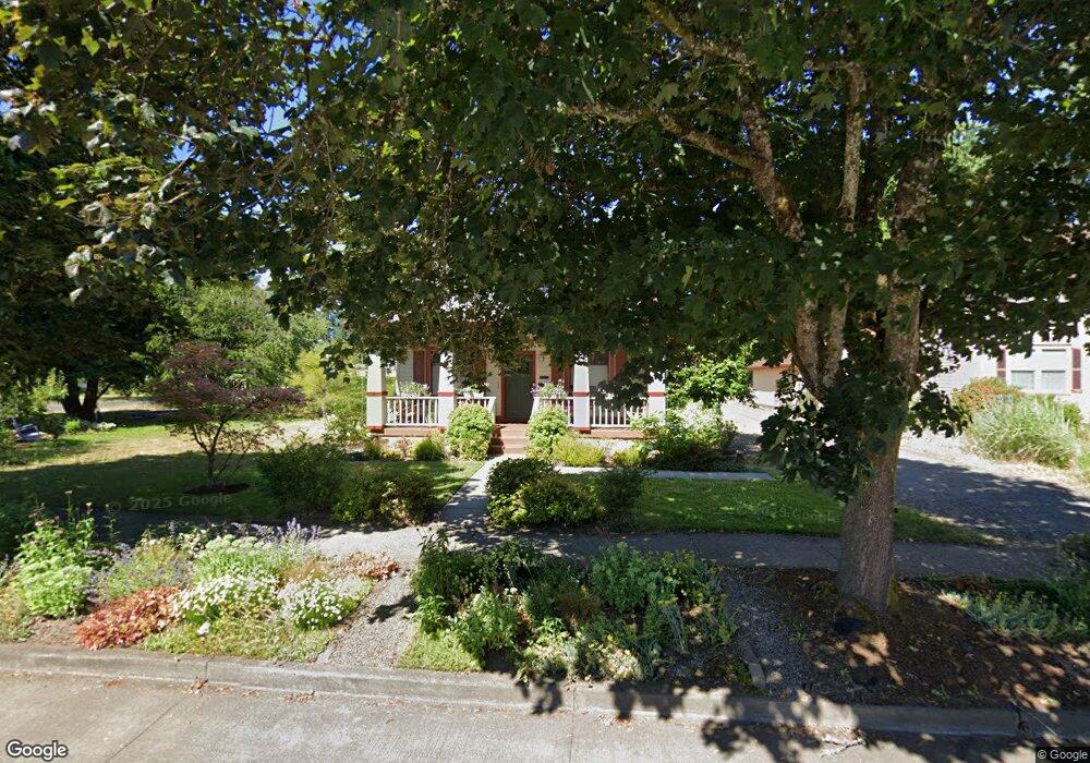
1608 Elm St Forest Grove, OR 97116
Estimated Value: $487,407 - $519,000
3
Beds
1
Bath
1,786
Sq Ft
$280/Sq Ft
Est. Value
About This Home
This home is located at 1608 Elm St, Forest Grove, OR 97116 and is currently estimated at $500,102, approximately $280 per square foot. 1608 Elm St is a home located in Washington County with nearby schools including Joseph Gale Elementary School, Tom McCall Upper Elementary School, and Neil Armstrong Middle School.
Ownership History
Date
Name
Owned For
Owner Type
Purchase Details
Closed on
Sep 18, 2008
Sold by
Pitt Sheryl Gibson
Bought by
Pitt Sheryl Gibson
Current Estimated Value
Purchase Details
Closed on
Dec 19, 2007
Sold by
Pitt Munro Wesley
Bought by
Pitt Sheryl Gibson
Purchase Details
Closed on
Aug 17, 2005
Sold by
Heiney Robert and Heiney Carol
Bought by
Pitt Munro W and Pitt Sheryl G
Home Financials for this Owner
Home Financials are based on the most recent Mortgage that was taken out on this home.
Original Mortgage
$236,000
Outstanding Balance
$121,616
Interest Rate
5.56%
Mortgage Type
Fannie Mae Freddie Mac
Estimated Equity
$378,486
Purchase Details
Closed on
Nov 29, 2004
Sold by
Bennett Mark
Bought by
Heiney Robert and Heiney Carol
Create a Home Valuation Report for This Property
The Home Valuation Report is an in-depth analysis detailing your home's value as well as a comparison with similar homes in the area
Home Values in the Area
Average Home Value in this Area
Purchase History
| Date | Buyer | Sale Price | Title Company |
|---|---|---|---|
| Pitt Sheryl Gibson | -- | None Available | |
| Pitt Sheryl Gibson | -- | None Available | |
| Pitt Munro W | $295,000 | Ticor Title Insurance | |
| Heiney Robert | $209,250 | Ticor Title Insurance Compan |
Source: Public Records
Mortgage History
| Date | Status | Borrower | Loan Amount |
|---|---|---|---|
| Open | Pitt Munro W | $236,000 |
Source: Public Records
Tax History Compared to Growth
Tax History
| Year | Tax Paid | Tax Assessment Tax Assessment Total Assessment is a certain percentage of the fair market value that is determined by local assessors to be the total taxable value of land and additions on the property. | Land | Improvement |
|---|---|---|---|---|
| 2026 | $3,575 | $237,430 | -- | -- |
| 2025 | $3,575 | $230,520 | -- | -- |
| 2024 | $3,445 | $223,810 | -- | -- |
| 2023 | $3,445 | $217,300 | $0 | $0 |
| 2022 | $2,994 | $217,300 | $0 | $0 |
| 2021 | $2,964 | $204,840 | $0 | $0 |
| 2020 | $2,961 | $198,880 | $0 | $0 |
| 2019 | $2,899 | $193,090 | $0 | $0 |
| 2018 | $2,809 | $187,470 | $0 | $0 |
| 2017 | $2,722 | $182,010 | $0 | $0 |
| 2016 | $2,645 | $176,710 | $0 | $0 |
| 2015 | $2,481 | $171,570 | $0 | $0 |
| 2014 | $2,475 | $166,580 | $0 | $0 |
Source: Public Records
Map
Nearby Homes
- 2220 17th Ave
- 1813 Filbert St
- 0 Crescent Dr
- 2743 15th Place
- 1822 Hawthorne St
- 2323 19th Ave
- 1119 Hawthorne St
- 1118 Hampton Ct
- 2815 18th Ave
- 2032 18th Ave
- 2824 19th Ave
- 1615 Kingwood St
- 1938 16th Ave
- 1520 Main St
- 2902 19th Ave
- 3128 Brittany Dr
- 3213 Maple Place
- 1738 18th Ave
- 2828 22nd Ave Unit 3
- 2828 22nd Ave Unit 5