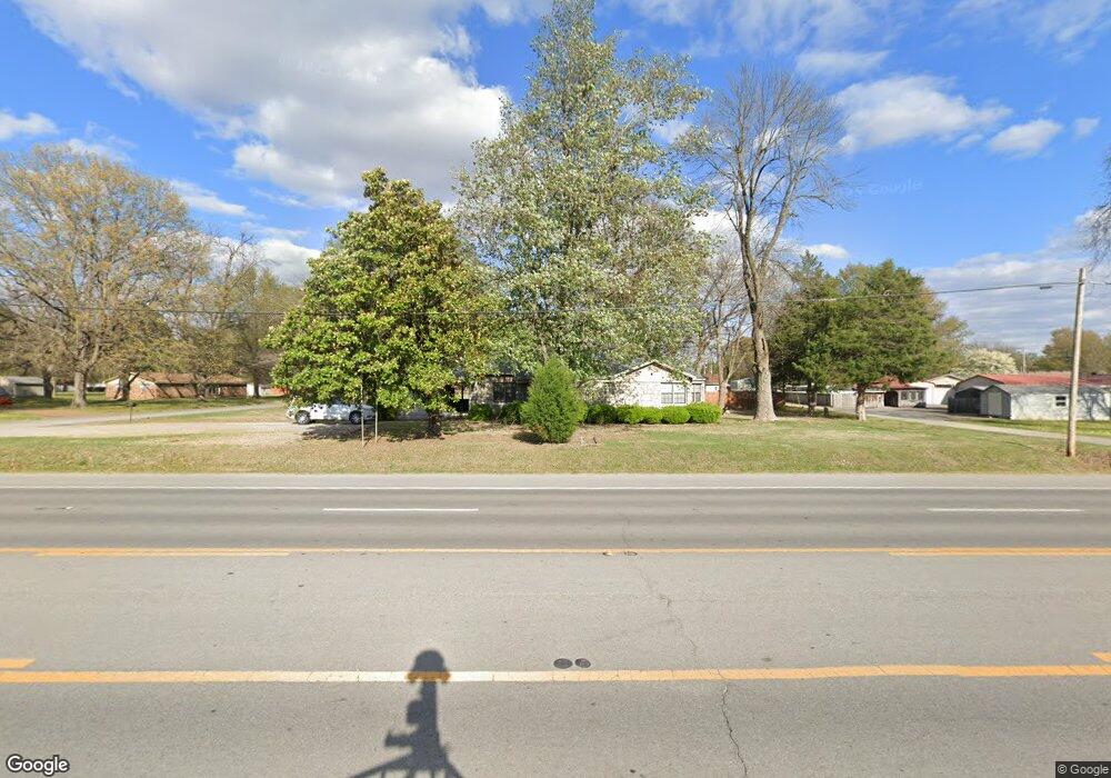
1608 Highway 367 N Newport, AR 72112
Estimated Value: $126,815 - $185,000
--
Bed
1
Bath
1,832
Sq Ft
$83/Sq Ft
Est. Value
About This Home
This home is located at 1608 Highway 367 N, Newport, AR 72112 and is currently estimated at $151,454, approximately $82 per square foot. 1608 Highway 367 N is a home located in Jackson County with nearby schools including Newport Elementary School and Newport High School.
Ownership History
Date
Name
Owned For
Owner Type
Purchase Details
Closed on
May 3, 1999
Bought by
Osier Bill and Osier Sharon
Current Estimated Value
Purchase Details
Closed on
Aug 26, 1996
Bought by
Cunningham Edwin L and Cunningham Barbara
Purchase Details
Closed on
May 1, 1991
Bought by
Carley Elizabeth
Purchase Details
Closed on
Sep 1, 1986
Bought by
Harrell Robert and Harrell Elizabeth
Create a Home Valuation Report for This Property
The Home Valuation Report is an in-depth analysis detailing your home's value as well as a comparison with similar homes in the area
Home Values in the Area
Average Home Value in this Area
Purchase History
| Date | Buyer | Sale Price | Title Company |
|---|---|---|---|
| Osier Bill | $47,000 | -- | |
| Cunningham Edwin L | -- | -- | |
| Carley Elizabeth | $40,000 | -- | |
| Harrell Robert | -- | -- |
Source: Public Records
Tax History Compared to Growth
Tax History
| Year | Tax Paid | Tax Assessment Tax Assessment Total Assessment is a certain percentage of the fair market value that is determined by local assessors to be the total taxable value of land and additions on the property. | Land | Improvement |
|---|---|---|---|---|
| 2024 | $387 | $25,040 | $1,950 | $23,090 |
| 2023 | $462 | $19,120 | $1,800 | $17,320 |
| 2022 | $542 | $19,120 | $1,800 | $17,320 |
| 2021 | $524 | $19,120 | $1,800 | $17,320 |
| 2020 | $524 | $19,120 | $1,800 | $17,320 |
| 2019 | $485 | $19,120 | $1,800 | $17,320 |
| 2018 | $441 | $15,510 | $1,800 | $13,710 |
| 2017 | $441 | $15,510 | $1,800 | $13,710 |
| 2015 | -- | $15,510 | $1,800 | $13,710 |
| 2014 | -- | $15,510 | $1,800 | $13,710 |
| 2013 | -- | $15,810 | $1,500 | $14,310 |
| 2012 | -- | $15,120 | $1,440 | $13,680 |
Source: Public Records
Map
Nearby Homes
- 2208 John Cir
- 1212 Graceland Dr
- 1217 Cherokee Dr
- 0 Robinson Rd
- 2412 Linwood St
- 2708 Robinson St
- 2600 Hollywood St
- 1303 Cindy Ln
- 2001 S Main St
- 1620 Brookfield Cir
- 1319 Cindy Ln
- 2701 S Main St
- 1714 Dill St
- 203 Alice Ct
- 1407 Dill St
- 1311 Dill St
- 900 Josephine St
- 1801 Hines St
- 1900 Hines St
- 721 Mclain St
- 2504 Virginia Ave
- 1604 Highway 367 N
- 2505 Brandenburg Ln
- 1704 Highway 367 N
- 2508 Virginia Ave
- 2509 Brandenburg Ln
- 2507 Virginia Ave
- 2600 Virginia Ave
- 1708 Highway 367 N
- 1504 Arkansas 367
- 2601 Brandenburg Ln
- 2601 Virginia Ave
- 2604 Virginia Ave
- 2605 Brandenburg Ln
- 1800 Highway 367 N
- 1701 Linden Cir
- 2805 Brandenburg Ln
- 2608 Virginia Ave
- 2212 Shafer Cir
- 2609 Brandenburg Ln